|
"Ojalá que llueva café, pa' que en el conuco no se sufra tanto. Ojalá que llueva café, pa' que tos' los niños canten en el campo, pa' que en Díaz Vázquez oigan este llanto, pa' que en la La Romana oigan este canto: 'Ojalá que llueva café en el campo!' ¡Ay! Ojalá que llueva café."
Juan Luis
Guerra (1957- ), Ojalá que Llueva Café |
"Yo soy un hombre sincero de donde crece la palma. Yo soy un hombre sincero de donde crece la palma. Y antes de morir yo quiero cantar mis versos del alma. ¡Guantanamera, guajira guantanamera!" José Fernández Díaz (1908-1979), Guantanamera
|
"Es el móvil océano gran espejo
donde luce como adorno sin igual
el Terruño Borincano que es reflejo
del perdido Paraíso Terrenal."
Virgilio Dávila (1869-1943)
and Braulio Dueño Colón (1854-1934), La Tierruca
"One Love, one Heart,
let's get together and feel allright.
Let's praise the Lord and I
will feel allright!"
Robert Nesta (Bob) Marley
(1945-1981), One Love
|
Let me sail, let me sail, let the Orinoco flow. Let me reach, let me beach on the shores of Tripoli. Let me sail, let me sail, let me crash upon your shore. Let me reach, let me beach far beyond the Yellow Sea.
From Bisau to Palau in the shade of Avalon. From Fiji to Tiree in the Isles of Ebony. From Peru to Cebu feel the power of Babylon. From Bali to Cali far beneath the Coral Sea. |
From
the North to the South ebudae unto Khartoum. From the deep Sea of Clouds to the Islands of the Moon. Carry me on the waves to the lands I've never been. Carry me on the waves to the lands I've never seen.
We can sail, we can sail with the Orinoco Flow. We can sail, we can sail - sail away, sail away, sail away...! We can sail, we can sail - sail away, sail away, sail away...! We can sail, we can sail -
sail away, sail away, sail away...! |
Enya, Orinoco Flow
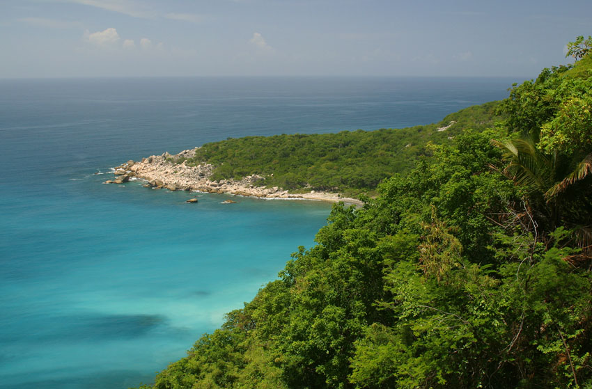
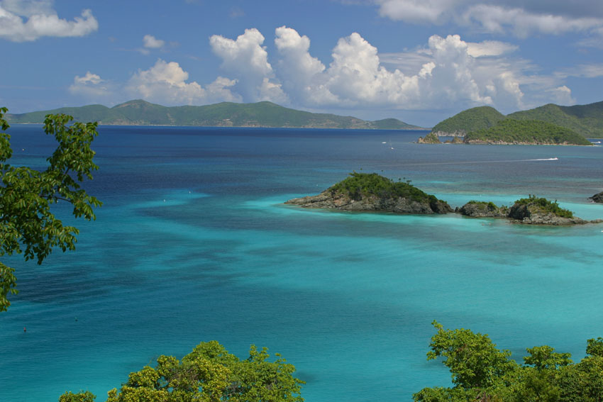
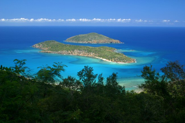
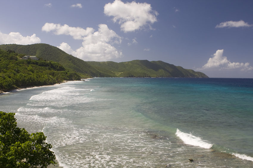
Trunk Bay. Virgin Islands National Park, Saint John, United States Virgin Islands.
The Neotropical Kingdom
Biologists and biogeographers have divided the dry land areas of planet Earth into nine major areas which are defined by the groups of ecologically interconnected organisms that live within such confinements. Their limits are marked mainly by natural barriers like oceans, deserts, high mountain ranges, and latitudinal climatologic boundaries all of which are frequently insurmountable to many species of plants and animals.
Although these "biogeographic regions" are generally well-defined, they are far from being perfectly so. Not only may the transition between each and the next occur over tens to even hundreds of kilometers, but many organisms that are typical of a region often "spill over" deep into others. This they do temporarily (as happens during seasonal transcontinental migrations), through naturally established and viable populations, or by means of man-made introductions.
Such regions of the World can in turn be divided into sub-regions or "biogeographic provinces", each characterized by subsets of organisms requiring increasingly specific ecologic conditions to survive, or set apart by natural barriers internested within the larger ones.
Earth's oceans can be similarly divided, though enough data to define clear boundaries is lacking at the present moment. (The Caribbean Sea may indeed be one of such distinct oceanic bio-regions).
The nine primary terrestrial biogeographic regions of the World are:
- the Antarctic: Antarctica, its surrounding ice-shelf, and its nearby islands
- the Western Palearctic: Eurasia (west of the Ural Mountains and Pakistan), including the Azores, the Cape Verde, and the Canary islands, and
northern Africa to the southern limits of the Saharan Desert
- the Eastern Palearctic: Eurasia east of the Ural Mountains, the Caspian Sea, and Pakistan, except for the Indo-Malayan Region
- the Afrotropical: Africa south of the Saharan Desert, together with Madagascar and its satellite islands, and the southern limits of the Arabian Peninsula
- the Indomalayan: the Indian subcontinent and south-eastern Asia, as well as the islands on their continental shelf (Sri Lanka, Java, the
Celebes, Sumatra, Borneo, the Philippines, etc.)
- the Australasian: Australia and its continental islands (New Guinea, Tasmania, etc.)
-
the Oceanian: most islands in the Pacific Ocean
- the Antarctic:
the Continent of Antarctica and its surrounding shelf
- the Nearctic: most of North America south to the Straight of Tehuantepec, together with the islands of Bermuda and Greenland
- and the Neotropical Biogeographic Region, which extends southward from the Straight of Tehuantepec, in southern Mexico, through the whole of Central and South America, and includes several groups of oceanic islands like the Antilles in the Caribbean Sea, the Galapagos in the eastern Pacific Ocean, and the Falklands in the southern Atlantic Ocean.
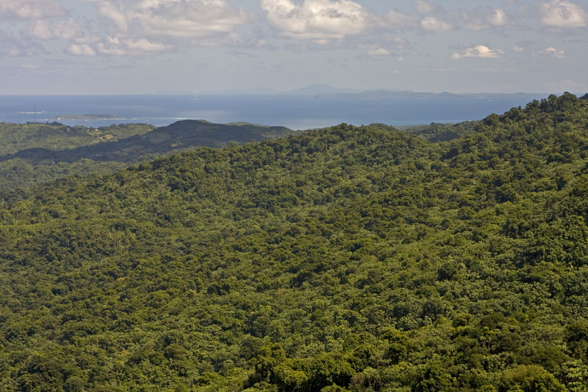
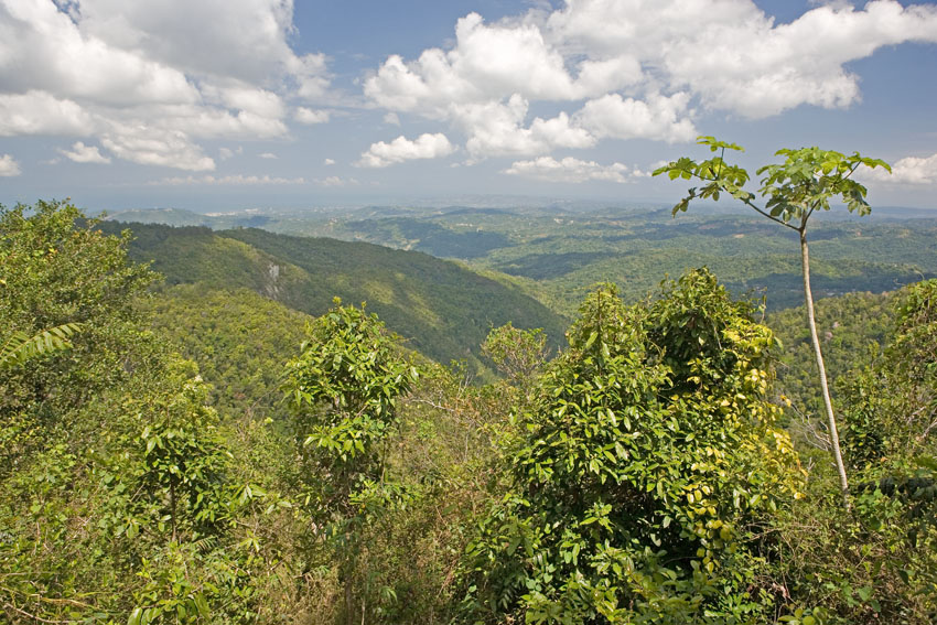
Within the Neotropics we find an extensive variety of ecosystems, including the driest region on Earth after inner Antarctica, namely Chile's Atacama Desert, as well as the largest continuous rain forest, in the enormously vast Amazonia. Here are found the loftiest mountains in the Western Hemisphere, which are also among the youngest in the World: the Andes of perpetual snows. They are the longest supra-marine mountain range, with 6960-meter Mount Aconcagua as the summit of the Americas, and tallest mountain on the planet outside the Himalayas. Extensive littoral mangrove swamps girdle the West Indies and the Caribbean coasts of South America. Alpine ecosystems are found on the upper slopes of the highest mountain ranges, with cloud forests on their piedmont, further down. A cold climate prevails in Tierra del Fuego, the southernmost, sub-Antarctic tip of South America, and in the Falkland Islands, east of there. The soils of much of the western edge of South and Central America were given birth by the chain of numerous volcanoes of the region which, continuing up western North America, snakes south again along eastern Asia to form the Ring of Fire that encircles most of the Pacific Ocean. Some of the most massive mountains of the entire region are among such fickle giants, like Colombia's Nevado del Ruiz and the trio of Orizaba, Popocateptl, and Iztaccihuatl, in southern Mexico. The isolated Galapagos Islands are likewise of volcanic origin. In southern Venezuela, northern Brazil, and the Guyanas, sandstone plateaus called "tepuis", some higher than 3000 meters, tower above the surrounding lowland rain forests. The basin of the Orinoco River has wide expanses of freshwater swamps and flooded forests. The vast grassland prairies of the Argentine and Paraguayan pampas cover much of the southern half of the South American continent. Mesoamerica and the Antilles have extensive montane rain forests, while dry forests and thorny scrub cover much of their leeward lowlands. Coastal rain forests extend through eastern Brazil, with chaparral forests further south and west. And the Neotropical scenario would not be complete without mention of the planet's most powerful watercourse: the immense River Amazon. Second in length only to Africa's Nile, the 6280 kilometer-long Amazon is so wide in some areas, that when one navigates on a ship down its middle, its shores are beyond sight. It carries more water than the next seven largest rivers combined, and a full one fifth of all freshwater in the World. Through its tributaries it receives water from 40 percent of South America, comprising the most extensive drainage system known. For most of its length it is only a few meters above sea level, and when the Atlantic's high tides reach its delta, the sudden water-rise of up to four and a half meters is sometimes noticeable hours later, 800 kilometers upstream. During rainy seasons, it overflows it banks so extensively that it floods hundreds of thousands of square kilometers of lowland rain forest. Its outpour is so gargantuan that 320 kilometers from its mouth, well within the Atlantic Ocean, one would still swim in fresh water.
Finally, the Neotropical Realm constitutes the richest and most complex region on Planet Earth in terms of organic life.
The Antillean Islands
Every year millions of persons visit the West Indies. They come mostly from North America and Europe, and many seek a warm beach where to escape from the cold winters of the high northern latitudes. The casual visitor to the Caribbean is often enthralled by the smells and tastes of the local cuisines and overpowered by the ambient humidity that pervades the lowlands of the islands year-round. Sadly, these same visitors seldom realize that beyond the surrounding city and tourist resort rhythms of salsa and merengue, reggae and wawanco, soca and calypso, another world awaits... one which existence most of them do not even imagine.
Origins
The islands of the Caribbean Basin have long been considered a part of the Neotropics, and as such I discuss them here. However, some authors regard the basin to be unique enough in its biota to form a separate entity and, thus, a tenth to be added to the list above: the Caribbean Biogeographic Region, comprising the West Indies and Central America south of the aforementioned Isthmus of Tehuantepec, to the junction of Panama with Colombia. This belief stems from the fact that at least some groups, like the Greater Antillean and Bahamian birds and reptiles and those of Mesoamerica are generally more closely related among themselves than to those found anywhere else. (Some authorities include in the Caribbean Region the southernmost reaches of the Florida peninsula and its cays, due to the strong Antillean influence that they exhibit).
At the very least, the Antilles indeed form a distinct Neotropical bioregion on a par with many others within the Neotropics.
The West Indies, or Antillean Archipelago, are an aggregation of thousands of islands, cays, and islets. They range in size from small rocks barely emerging from the waves to Cuba, which at 110,860 square kilometers is almost as large as the rest of the Caribbean islands put together, or about as large as the state of Pennsylvania, in the United States of America. The archipelago is found east of Mesoamerica and, as a whole, halfway between North and South America.
Most of the Antilles are typical oceanic islands, in that they do not lie on the submarine platform of a continent. Possibly, they have never been physically connected to any of them, even during glacial maxima, when sea levels are at their lowest as more water relocates as ice around Earth's poles.
If one were to see the entire geological history of the Antilles squeezed into a few minutes, they would probably look like a group of amoebas crawling on the surface of the ocean. Through eons of time, these islands have repeatedly expanded and contracted their areas, split, fused, split again, and shifted shapes and their relative positions. In fact, the Antilles (or at least the Caribbean Tectonic Plate) might have originated west of the Americas, in the eastern Pacific Ocean. After that, the emersion of Central America isolated the modern Caribbean Sea from the Pacific and made it a portion of the Atlantic Ocean, instead. (The Caribbean is effectively a mediterranean sea, since it is "surrounded by lands" - in its case by the American continents and the Antilles themselves).
The theory according to which the Caribbean Sea was once contiguous with the Pacific Ocean is supported in a rather surprising way. At its deepest reaches fish and other organisms are found which closest relatives are not found in the Atlantic Ocean, but in the abyssal plains of the Indo-Pacific.
As an alternative to the scenario described above, at least the Greater Antilles may be Central American blocks which became detached from the continent and migrated east. This hypotheses is partially based in the Mesoamerican relations of a number of reptile, freshwater fish, and insect taxa now found in the Greater Antilles. In this case, the Lesser Antilles may have emerged later, through volcanic phenomena caused as the leading (eastern) edge of the Caribbean tectonic plate slides over the Atlantic Basin plate, melting it as it pushes it down. The subducted molten material of the Atlantic abyssal plain would then erupt upwards, the lava solidifying into what are now the Lesser Antilles.
The West Indian Neotropical Province is in presently divided into three main sub-provinces: the Greater Antilles, the Lesser Antilles, and the Bahamas.
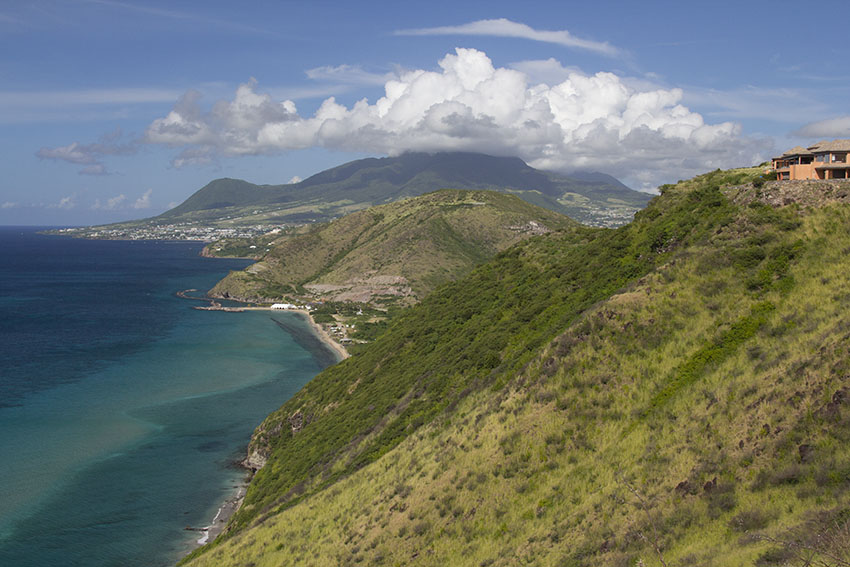
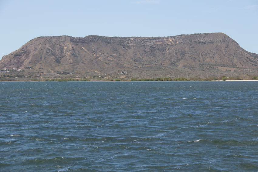
The modern West Indian map is dominated by the four large and mountainous islands of the Greater Antilles. From west to east they are Cuba, Jamaica, Hispaniola, and Puerto Rico. Long before they neared their present locations, their shapes and extensions were already influenced by a mixture of volcanism and the uplifting of the northern border of the Caribbean tectonic plate, as the heavier North American plate (which includes the Bahamas and Cuba) slowly sinks, even now, under it. The oldest geologic materials that have been continuously above water in the Caribbean are found in what are today Cuba and Puerto Rico. Parts of both may date back to the late Jurassic Period.
Cuba is the largest of the Antilles. Together with The Bahamas it is actually located almost fully on the North American tectonic plate, near the point where it joins the Caribbean plate. Until a relatively recent past much of its lowlands were flooded by the ocean, being thus fragmented into as many as three islands laying on the same insular bank. It has vast littoral and inland plains, as well as mountain ranges in several regions. Areas covered in limestone are found especially in the western end of the island. Extensive groups of cays are found off both its northern and southern coasts, and the Isle of Youth is it largest offshore island. The Cuban insular bank may contain the most complex and varied biota in the Caribbean Basin, and is rivaled in that sense only by the Hispaniolan bank.
Hispaniola (shared by the
Dominican Republic and Haiti) might itself be the most
geologically complex of the Antilles, as it is actually composed
of a northern and southern paleoislands with separate origins
(that is to say: each one was on its own insular platform, at
first). The southern island collided with the larger northern
one during the Miocene, and today they are fused together along
the Neiba Valley-Cul de Sac Plain. Hispaniola's largest
satellite island is La Gonave, engulfed by the northern and
southern peninsulas of Haiti. The highest point in the West
Indies, 3175 meters-high Mount Duarte, is to be found in the
Central Mountain Range of the Dominican Republic. Other
important mountainous systems are the limestone Bahoruco
Mountains-Massif de la Selle, the Massif de la Hotte, and the
Neiba Range. Indeed, Hispaniola possesses the highest mountains
in the Americas, outside the Andes and the Rockies. The lowest
point in the West Indies is in the same island: the Lake
Enriquillo Depression, at about 45 meters below sea
level.
The tectonic fault between
the two Hispaniolan paleoislands remains unstable to this day.
At 4:53 PM (local time) in January 12, 2010, a earthquake of 7.1
points in the Richter scale nearly totally destroyed the capital
city of Haiti, Port-au-Prince. Hundreds of thousands perished
due to the devastating incident, and an additional one and a
half million were left homeless. In terms of loss of human lives
and property and of displaced people, the 2010 Hatian earthquake
was the worst natural disaster in the recorded history of the
Americas.
The Bahoruco Mountains, in southwestern Hispaniola, are a limestone massif that rises
to more than 2,500 meters from the coast over a small horizontal distance, thus having a very steep gradient.
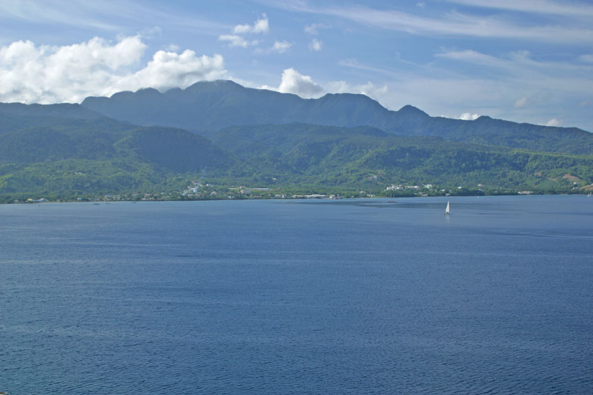
Both Jamaica and Puerto Rico are smaller and geologically simpler than their two much larger neighbors and, while they are similar in size to one another, their origins are quite different.
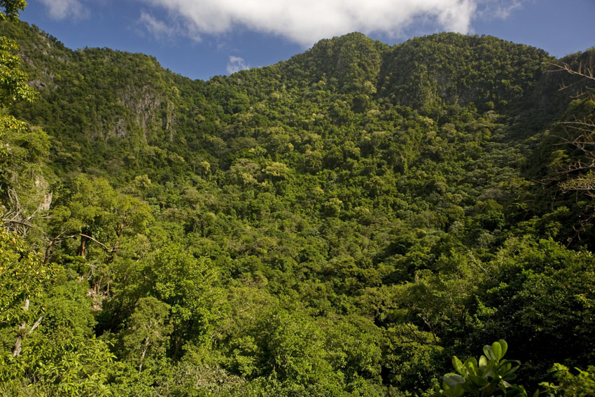
Although it was probably emergent during the late Cretaceous or early Paleocene, Jamaica was later completely submerged. In its present state it is the youngest of the Greater Antilles, perhaps being above water only since the middle Miocene, some (relatively) scant 16 million years ago. Among those of the Caribbean, its Blue Mountains are second in height only to some in Hispaniola. It also has extensive regions of limestone in its north-western quadrant, as well as a tall limestone range in the east, the John Crow Mountains. It's submerged insular platform is the narrowest of the Greater Antilles, and it has but a few tiny offshore cays.
Montane valley. Blue Mountains, east-central Jamaica.
The eastern reaches of the John Crow Mountains, seen from near Point Morant, eastern Jamaica.
Puerto Rico was part of the northern Hispaniolan paleoisland before it separated and moved further east around 15 million years ago, during the Miocene. After that time much of it was submerged before reemerging about 3 million years later. Like Jamaica, it has a mountainous backbone and a limestone belt. It has as well isolated mountain massifs near its eastern tip, namely the Luquillo and Pandura ranges. Similar to Hispaniola, its tallest mountains are near the center of the island. Among the Greater Antilles, its submerged insular platform is the most extensive in proportion to the emergent area and it has numerous satellite islands and cays, largest of which are Culebra, Vieques, and the northern Virgin Islands. That means that if the size of the insular bank and, thus, the extension of the biogeographic unit are considered, the third largest island in the Caribbean turns out to be Puerto Rico, and not the taller Jamaica. However, that is not obvious if one looks at a normal map, because almost half of Puerto Rico is today submerged under a mere 100 meters of sea water.
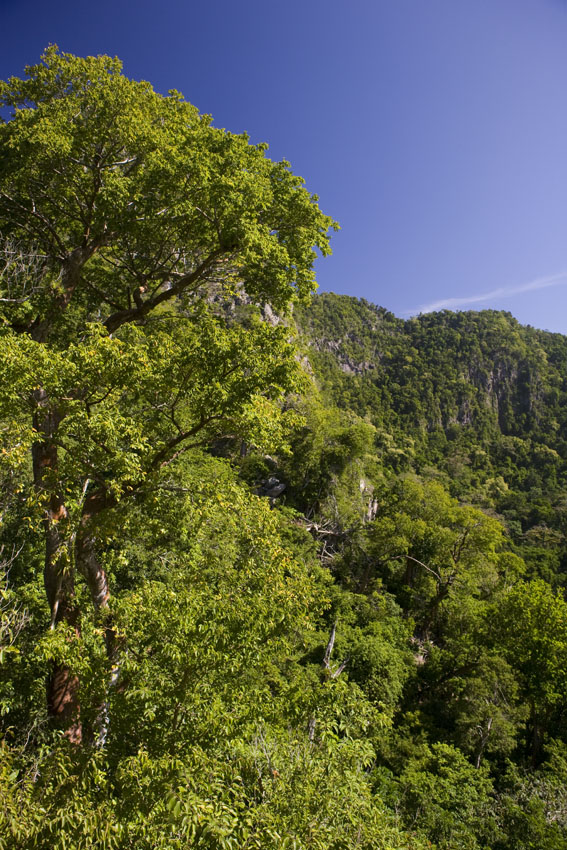
Seen from far out at sea, the central mountains of
Puerto Rico run almost the entire length of the island.
All the Greater Antilles have extensive mountain ranges
dissected by deep valleys and surrounded by coastal plains.
Reaching the coast in north-western Puerto Rico, the Atalaya
Range allows a dim view of the distant city of Mayagüez, to the
south.
Although separated by shallow sea water islands that belong to
the same insular bank comprise a single geological and
biogeographical unit.
Seen from the Luquillo Mountain Range (north-eastern Puerto
Rico) you can see here Culebra Island (politically part of
Puerto Rico), to its left Saint Thomas (United States Virgin
Islands), and barely visible to its left again Tortola (British
Virgin Islands).
All four islands and many others were united into a single
landmass until the end of the last Pleistocene ice age.
In a few places in the Greater Antilles the mountains reach the shores, where they rise straight from the sea to great altitudes. Another product of the collision between the North American and Caribbean tectonic plates is a geologic subduction zone which features the lowest point beneath the Atlantic Ocean: the 8605 meter-deep Puerto Rican Trench, located north of the island that gives it its name.
Although no active volcanoes remain in the Greater Antilles, reminders of a distant past are seen in the sulfuric hot springs of some places like Coamo, Puerto Rico. Also, volcanic rocks are found in many regions of these islands.
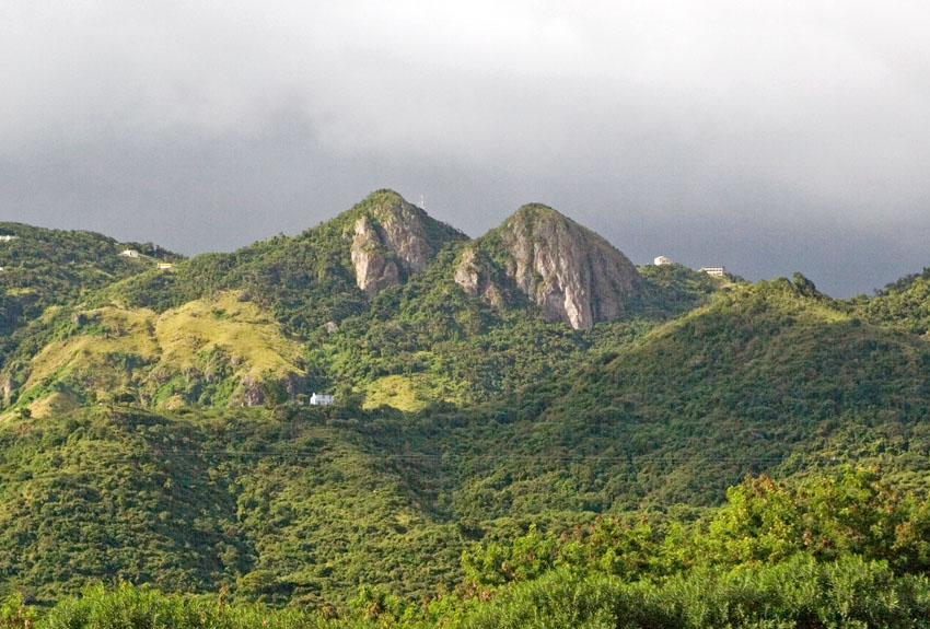
Ancient, eroded granite comprises much of the geological material in the backbones of the Greater Antilles.
Tetas de Cayey, Cayey Mountains, south-eastern Puerto Rico.
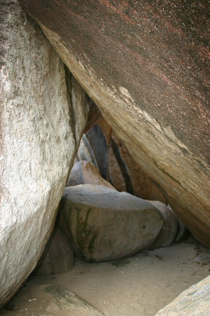
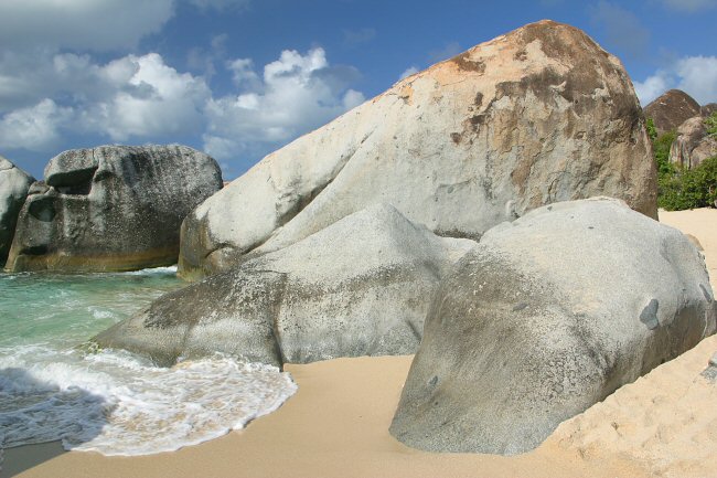
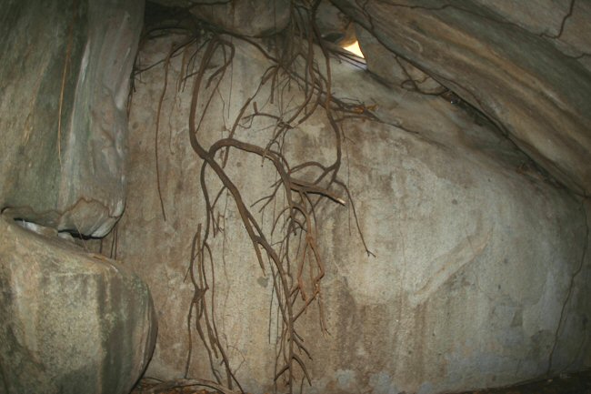
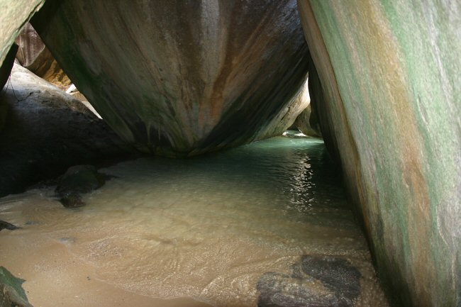
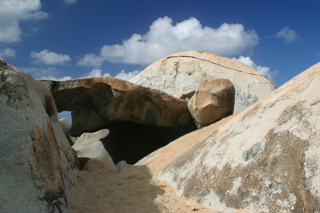
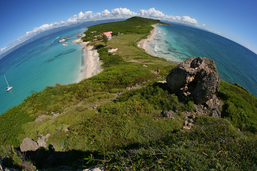
Immense granite boulders lie on top of one another,
forming marine grottoes in The Baths National Park, Virgin Gorda, British Virgin Islands.
They are remains of the volcanic past of these easternmost islands of the Greater Antillean complex.
Photographs may fail to convey their true size. The "small" flat-topped rock in the first image is almost three meters tall.
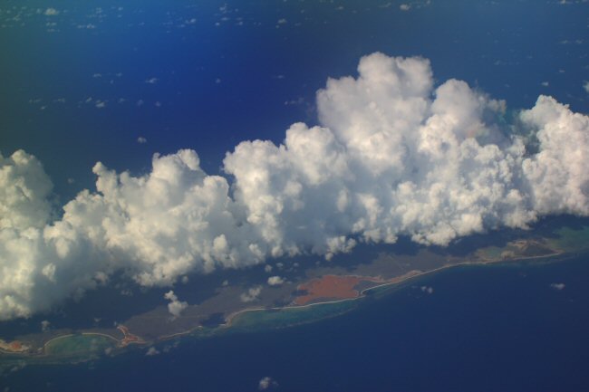
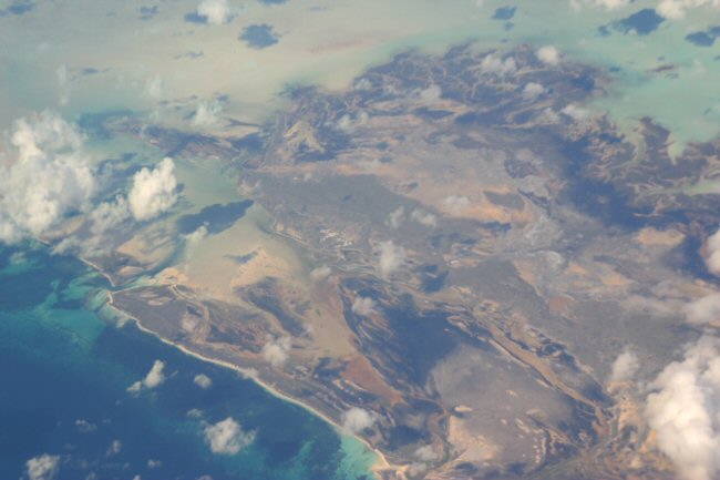
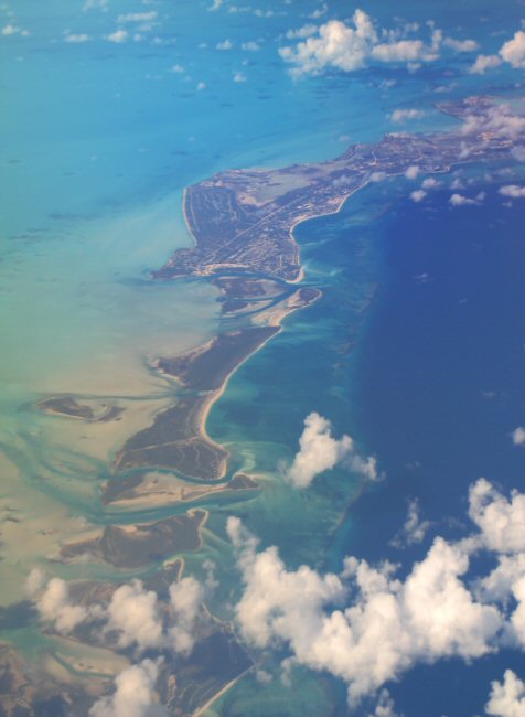
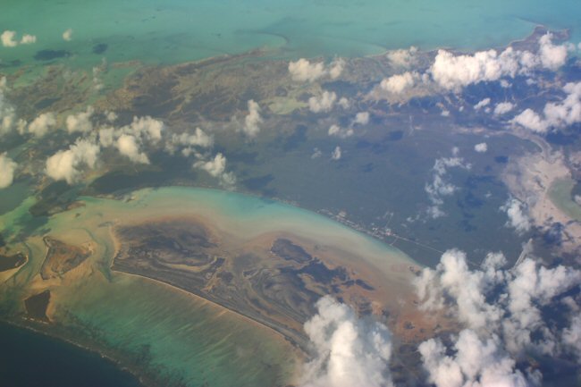
To the north and north-west of the Greater Antilles lies the Bahamian Archipelago. Low-lying limestone and fossil-coral islands, perhaps connected at times with the Cuban paleoislands, the Bahamas are generally small, although Andros Island (itself an archipelago) is about the size of the Puerto Rican mainland, if one counts the numerous sea channels that intersect it. In accordance with their location and the prevailing oceanic currents, much of the biota of the Bahamas derives from, or is shared with, the Greater Antilles, particularly Cuba and Hispaniola.
In spite of these close biogeographic ties to the Greater Antilles, in fact the deeply dissected Bahamian Platform rests on the North American Tectonic Plate. (That is to say, the Bahamas, together with Cuba, are geologically North American islands). It is to this platform that the northern boundary of the Caribbean Plate eventually became "sutured", effectively preventing any more subduction. That seems to be the reason why volcanism ended long ago, in the Greater Antilles.
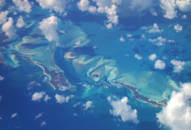
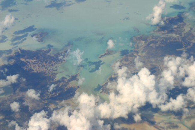
The Bahamian archipelago consists of an enormous number of flat coral and limestone islands. None have anything that could be considered as "highlands".
Taken together, they comprise an important and extensive biogeographic sub-province within the larger West Indian region.
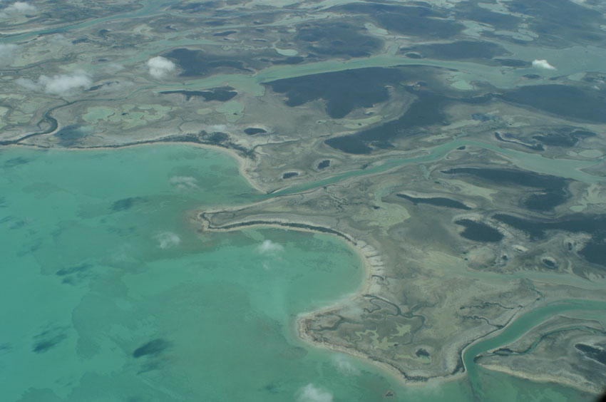
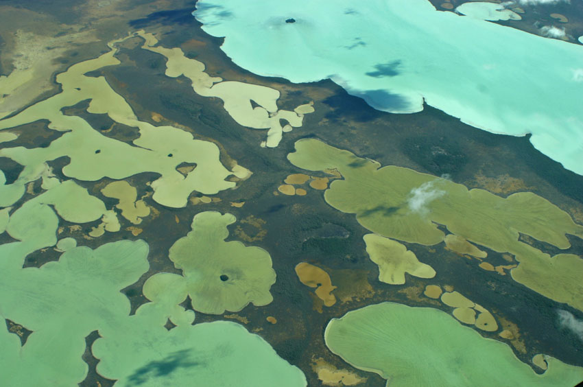
Aerial views of Andros Island, Bahamas.
(Photographs courtesy of Mr. Joseph Burgess).
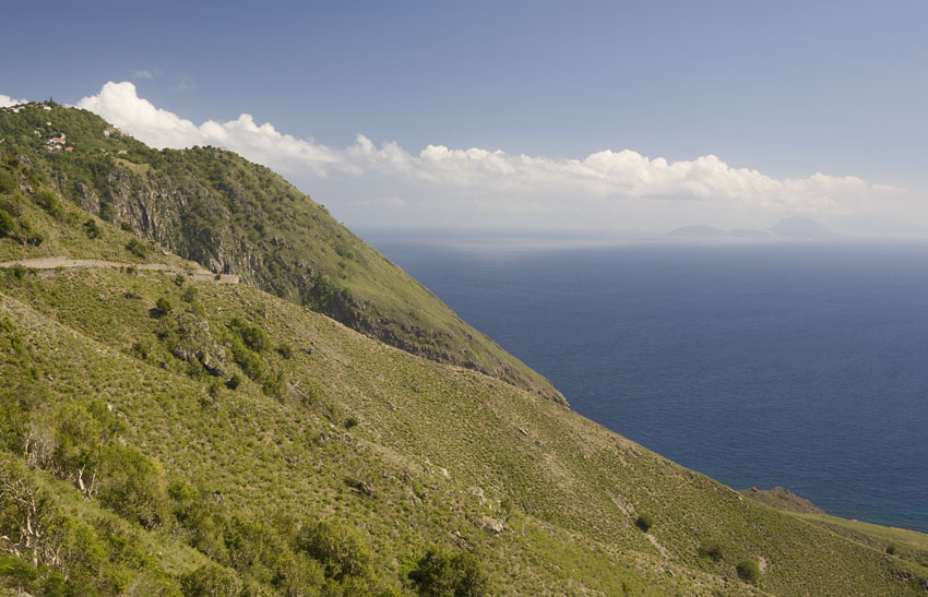
To the east and south-east of the four major land masses are found the Lesser Antilles, a double arc of small islands that almost reaches Venezuela, in South America. Most of them emerged from the sea through volcanic activity. In spite of their limited area, many of them are steeply mountainous and, indeed, each island is but the summits of a small mountain range rising from the Caribbean abyssal plain.
In spite of the apparent simplicity of the Lesser Antillean archipelago, the group is actually a double geological entity. An outer arc of older, eroded material extends from northernmost Sombrero, and includes Anguilla, Saint Bartholomew, Saint Martin/Sint Maarten, Antigua, Barbuda, the eastern half of the double island of Guadeloupe, Marie Galante, south to the eastern half of Martinique. This outer arc is partially composed of sedimentary rocks, including limestone.
The inner and younger arc extends from Saba, in the north, and includes Saint Eustatius, Saint Christopher, Nevis, Redonda, Montserrat, the western half of Guadeloupe, Dominica, the western half of Martinique, Saint Lucia, , and south to Grenada. These islands, unlike those of the outer arc, are almost purely igneous.
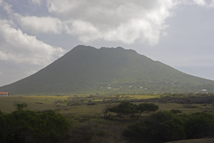
These are the Lesser Antillean islands that have both dormant and active volcanoes. Guadeloupe's 1,467-meter stratovolcano, La Grande Soufriére, is the highest mountain in the Lesser Antilles. The recent eruptions of the Soufriere Hills in Montserrat and, in a recent past, of Martinique's Mount Pelèe and Saint Vincent's Mount Soufriere - which erupted again in April 2021 - are a reminder that many of the Lesser Antilles are, geologically, very much alive and still growing.
In fact, a good number of places in these islands have the name "soufriere" applied to mountains, thermal springs, and even villages. The French term means "sulfuric vent", occasionally with the nuance of "suffering".
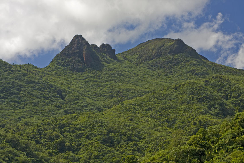
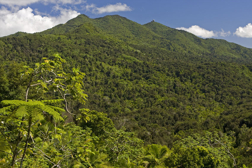
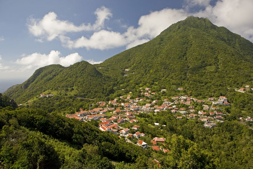
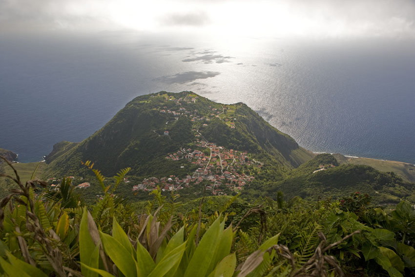
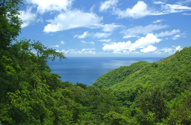
The highest mountain in Dominica, Lesser Antilles, is Morne Diablotin, a dormant volcano on the northern part of the island.
All
the younger Lesser Antilles look like this: rugged and
mountainous.
The
skyscrapers of Saint Lucia were built by the Best of all
Architects.
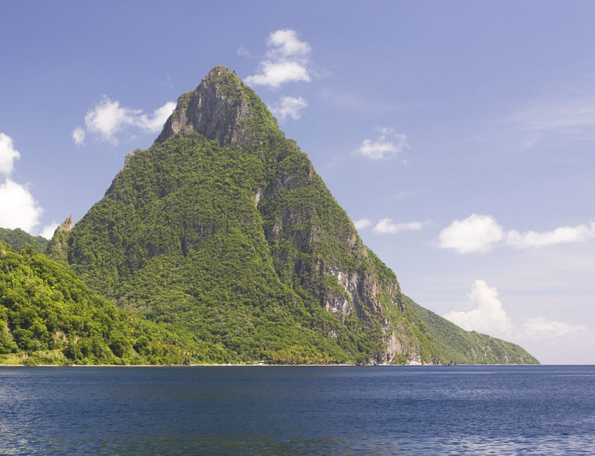
This is one of the most recognizable landscapes in the
Caribbean islands: Petit Piton. South-western Saint Lucia,
Lesser Antilles.
Zeelandia Beach, western Saint Eustatius, Lesser Antilles.
This important breeding site for sea turtles lies near the
local volcano, The Quill.
The second photograph shows The Quill as seen from neighboring
Saint Christopher.
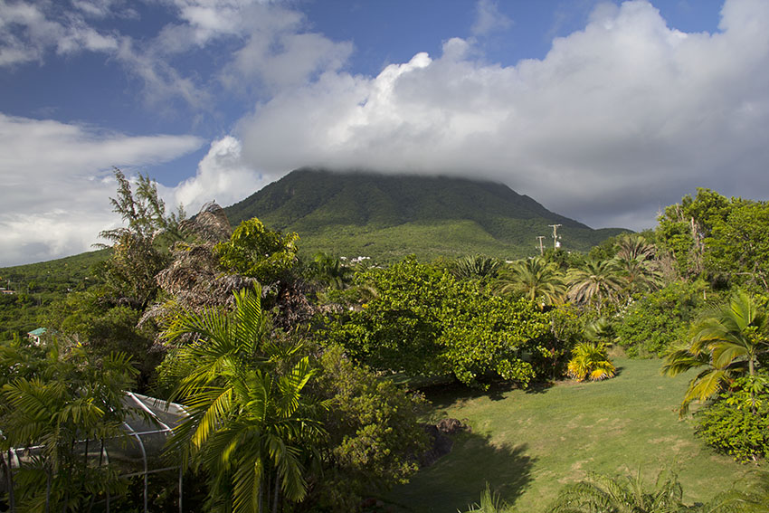
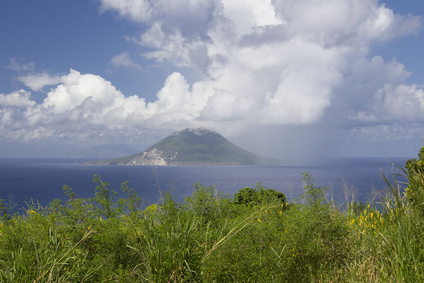
Nevis Peak, the volcano in central Nevis, Lesser Antilles.
Of course, volcanoes
frequently destroy even as they create. As an interesting - if
sinister - historical note, in 1902 the then capital city of
Martinique, Saint Pierre, earned the sad distinction of becoming
the "Pompey of the Caribbean". Around 8:00 AM on Thursday, May
8th of that year Mount Pelée awoke after centuries of slumber,
and erupted with murderous violence. The ensuing pyroclastic
avalanche took all of five minutes to incinerate the city's
entire population of thirty thousand. Only one person escaped
the wrath of the hulking giant relatively unscathed: the sole
prisoner in the local jail, which walls protected him from the
surrounding devastation. He was scheduled to be executed by
hanging... on that same day.
La Montagne Pelée remains the most dangerous
volcano in the Antilles.
The cloud-covered slopes of Mount Pelée, northern Martinique, Lesser Antilles.
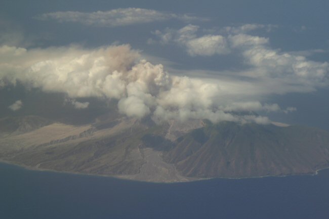
The Soufriere Hills Volcano, in Montserrat, Lesser Antilles, has been erupting sporadically since 1995.
Notice the pyroclastic material reaching the coast. This small island is actively growing.
While the rain forests covering the slopes of the volcano have been all but obliterated, this is
but part of an ongoing natural cycle of destruction and renewal in several of the Lesser Antilles.
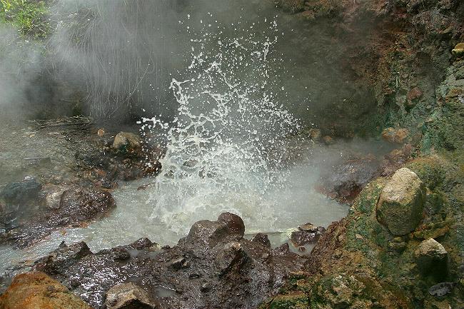
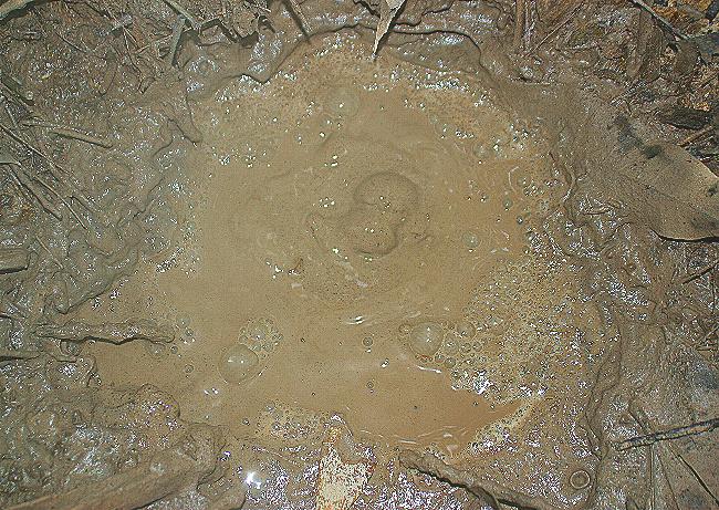
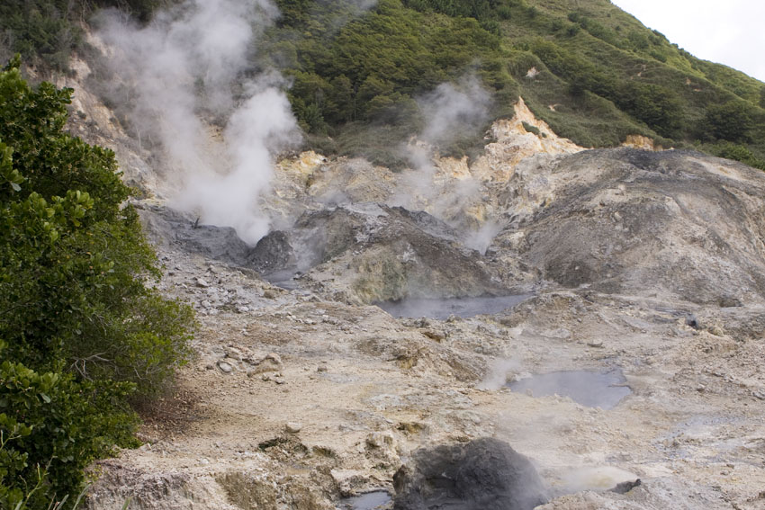
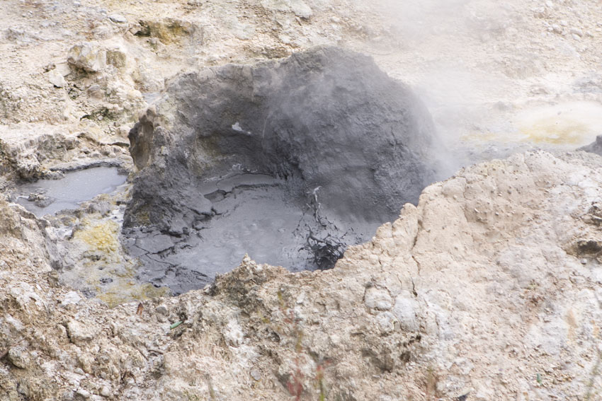
Sulfuric thermal springs abound in the younger Lesser Antilles.
These
boiling
wells of water and mud were photographed at Woten Waven,
south-central Dominica, Lesser Antilles.
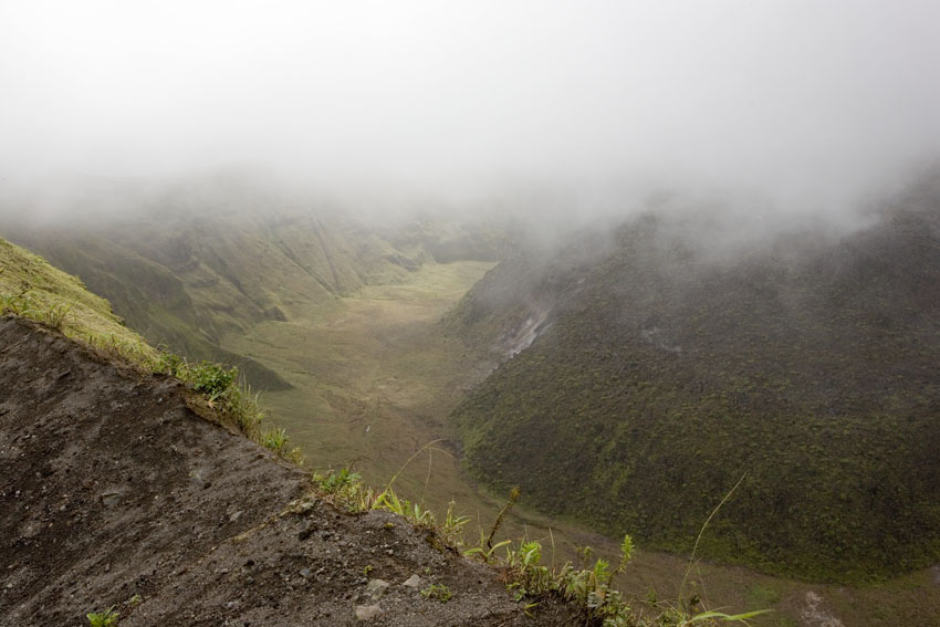
The Soufriere Caldera. South-western Saint Lucia, Lesser
Antilles.
The crater of Mount Soufriere. Northern Saint Vincent, Saint Vincent and the Grenadines, Lesser Antilles.
All of the Lesser Antilles are volcanic in their origins
Solidified lava
flow. Mount Soufriere, northern Saint Vincent, Saint Vincent
and the Grenadines, Lesser Antilles.
The Quill, the dormant volcano of Saint Eustatius, Lesser
Antilles.
Views of The Quill's volcanic crater. Saint Eustatius, Lesser
Antilles.
The volcanic hills of Saint Christopher, Lesser Antilles.
The capital, Basseterre, can be seen in the distance on the
left.
Mount Saint Catherine, the main volcano in northern Grenada.
Saba's cliffs and its dormant volcano, Mount Scenery, testify
to its recent geological past. Lesser Antilles.
This beach in northern Saba, Lesser Antilles, is made of
cobblestones fallen from
a cliff that is actually layers of pumice and rocks produced
by volcanic activity.
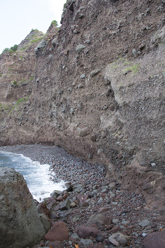
The volcanism of the inner Lesser Antilles is also noticed in a more indirect way. Rising steeply from the ocean's floor, many of these islands have little of what could be called "beaches". The underwater insular platforms are very narrow, and plunge to great depths just a short distance from the shore. Since the symbiotic algae that coral polyps need to thrive cannot survive below depths of a hundred meters or so, there are few coral reefs surrounding the islands. Over thousands of years, dead coral skeletons are pulverized by wave action, and become the alluring golden and white sand beaches that are so common in the Greater Antilles and the Bahamas. But having no coral reefs to provide for these, many littorals of the younger Lesser Antilles are covered in a coarse gray or black sand that is really ground basalt. Perhaps not as attractive to the human eye but still very interesting, indeed.
In a rather arbitrary fashion the Lesser Antilles have traditionally been segregated, as well, into two artificial groups according to their mutually relative positions on navigational charts. The Windward Islands run from Dominica south to Grenada. The Leeward Islands extend from Guadeloupe northwards to the Virgin Islands of the Puerto Rican insular bank.
A small number of West Indian islands do not belong to any of the three main archipelagoes already described, even as they are integral parts of the biogeographic subprovince. Among these, the Cayman Islands, south of Cuba, as well as Saint Andrew, Providencia, and others close to Central America (though not on the continental shelf itself) are above-water geologic ridges in the middle of the Caribbean Sea. Barbados, east of the Lesser Antilles, is an emergent limestone plateau situated beyond the eastern, leading edge of the Caribbean tectonic plate. However the character of its biota is decidedly Lesser Antillean, geologically it is not a Lesser Antille but in a class all by itself. Its origins are quite obscure, and it may be more closely tied to the South American continent than with the rest of the West Indies.
Finally, some islands that lie within the geographic boundaries of the Caribbean Sea do not belong to the Antilles, either geologically or biogeographically. That is to say: not only are their geologic origins unrelated to theirs, and their biota have very little to do with those of the West Indies. For example, the Dutch "Antilles" of Aruba, Bonaire, and Curaçao, off the Caribbean coast of Venezuela, are oceanic in character and their biota is mainly South American and highly endemic, if depauperate. Margarita, Trinidad, and Tobago, east of them, are continental islands (as opposed to oceanic). They are located on the South American continental shelf - and thus are satellites of that continent - might have been united to it during glacial maxima, and share most of their biota with it.
Geography
The environments of the Antilles are deeply influenced by the climate, which itself has changed drastically, time and again, during the millions of years of their existence. Certainly the abundant rain prevalent during many periods have contributed to erode mountains, rivers have formed valleys, and the pounding waves of the sea have cut coastal cliffs and caves. During glacial ages, at least some areas of the Greater Antilles were covered in glaciers which carved deep inner plains and valleys and dramatically influenced the distribution of many organisms, even to this day.
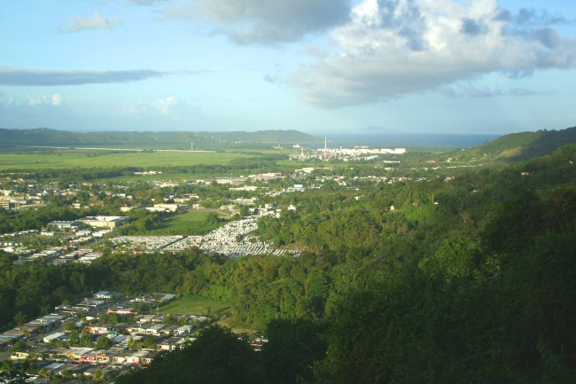
The Yabucoa alluvial valley, south-eastern Puerto Rico.
The rivers that meander through valleys like these are what creates them. Sadly, such lowland areas are mostly
denuded of natural vegetation nowadays. They have been cleared for crops, pasture, and urban development.
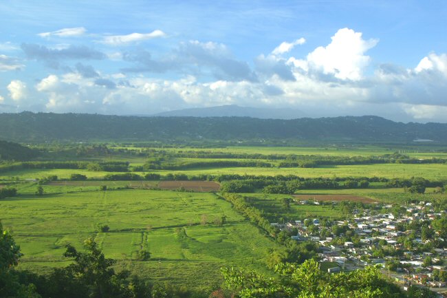
The Lajas alluvial valley at dawn. South-western Puerto Rico.
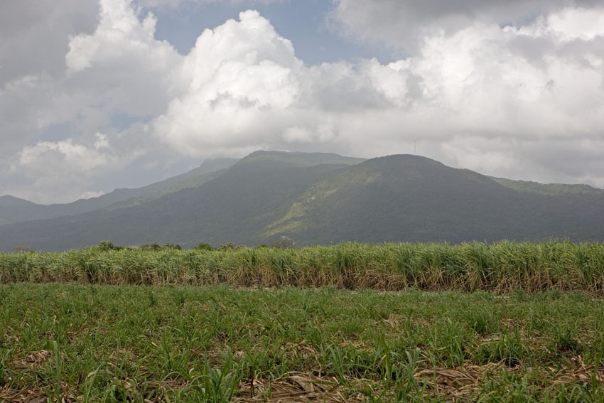
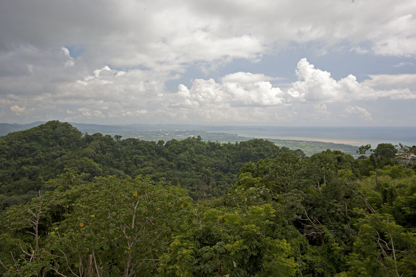
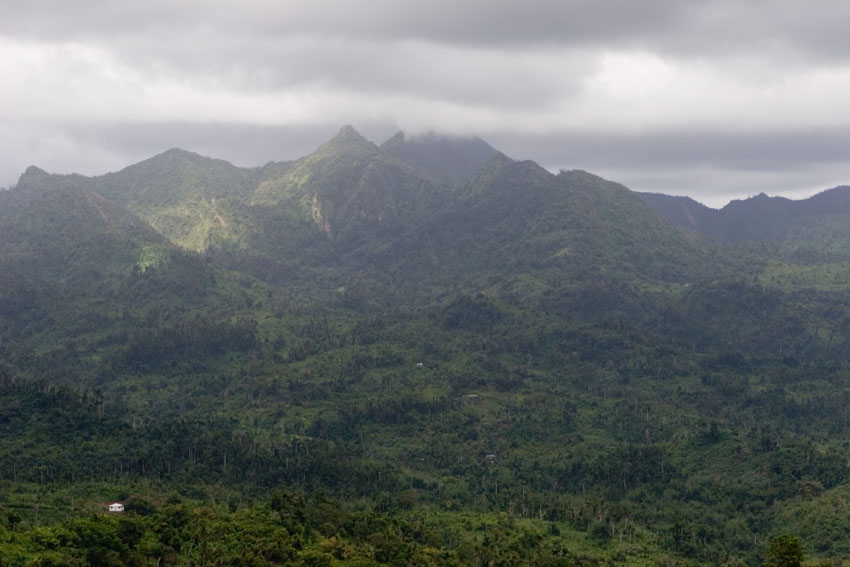
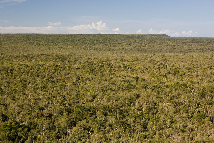
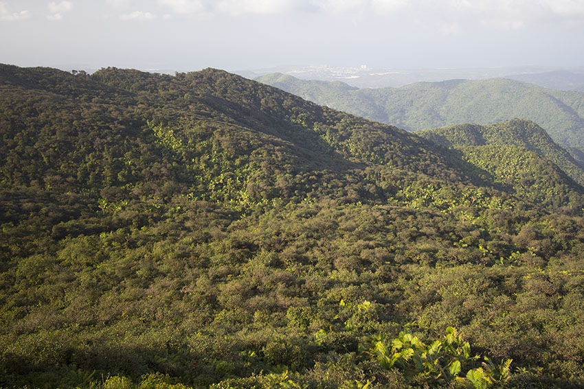
The variety of topographies found in the West Indies, combined with the prevalent northeast-southwest wind patterns, allow the islands to have widely dissimilar vegetative associations, sometimes within mere kilometers of one another. Generally, the windward (eastern and northern) sides of the Greater and Lesser Antilles support tropical humid and rain forests. The leeward sides of the islands, in the rain shadow of the mountains, are dry - sometimes being true deserts - and are occupied by xeric forests, cactus scrub, and savannas. Such is the case of the coast of the province of Guantanamo, in south-eastern Cuba, the Neiba-Cul de Sac Valley of south-central Hispaniola, the coastal region between Salinas and Cabo Rojo in south-western Puerto Rico, and the Hellshire Hills of south-eastern Jamaica. The summits of the tallest mountains, especially in Cuba, Hispaniola and Jamaica, might experience winter temperatures below water's freezing point and support temperate forests, including pine woods in the first two.
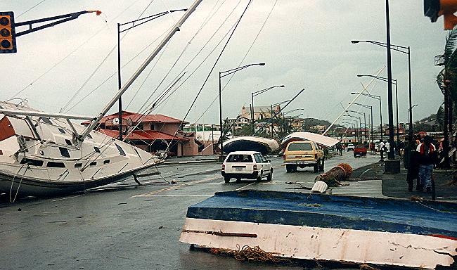
Most forests in the West Indies are in a perpetual state of succession and renewal. The reason for this arises from the very waters that surround the islands and from the mechanisms of our planet's cooling system. Every year, between early summer and late autumn, the tropical Atlantic Ocean spawns a number of meteorological disturbances. Many begin as tropical depressions off the coasts of western Africa, while others develop over the mid-Atlantic or in the Caribbean Sea itself. They usually move westward, and as they travel over the surface of the ocean, the warm waters continually fuel their engines. They gain in size and strength, and eventually begin to rotate around a vortex colloquially called the "eye", thus turning into "tropical cyclones". Once their sustained wind-speed reaches 120 kilometers per hour they become the most awesome and powerful storms on Earth: hurricanes.
Their name derives from the Greater Antillean Taíno Amerindian term "huracán" (pronounced "uh-rah-KAN"), meaning "strong wind". Not surprisingly, by that word they also used to name the god of evil of their mythology. Some hurricanes may attain a diameter of 1000 kilometers. With wind speeds as high as 310 kilometers per hour, and often accompanied by torrential rain, these violent storms can wreck havoc on plant, animal, and human life alike. Names like Andrew, Dorian, Frances, Gilbert, Hugo, Ivan, Irma, Jeanne, Katrina, Maria and Marylin remain forever seared unto the collective memories of the peoples who came to know them closely.
The full strength of major hurricanes defies description. Their unnerving fury has to be experienced to be understood.
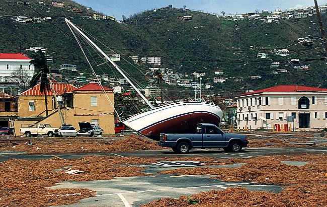
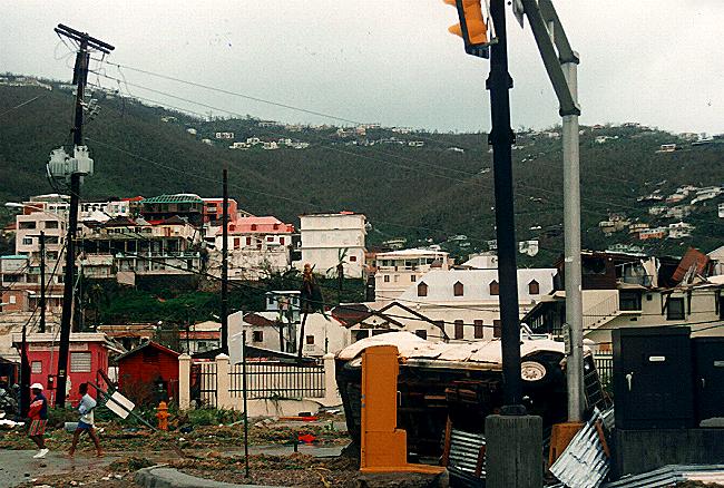
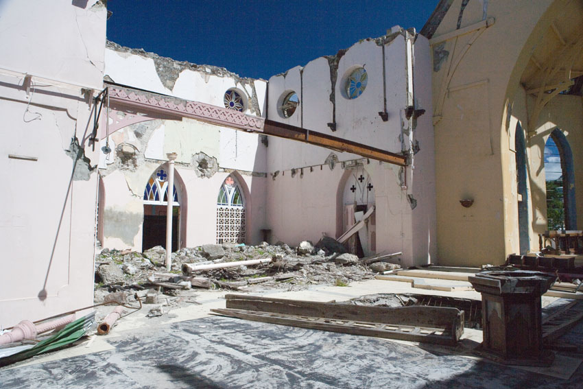
Around midnight between September 15th and 16th, 1995, hurricane Marylin's vortex went straight over the island of Saint Thomas, one of the United States Virgin Islands. The 216 km./hour winds raged for almost 12 hours. The winds were even stronger over the hills, due to a funneling effect as they swept over the topographic inclines. They, and the storm-surge that accompanied the eye, sent 3 meters of sea water through the capital city of Charlotte Amalie, destroying buildings, overturning cars, and hurling boats onto the roads. Eleven people lost their lives, some of them because they decided to ride the storm in their ships, overnight. Others were pummeled to death by flying debris as they left their unsafe homes in the middle of the night. Marylin was the worst natural disaster to occur in the Virgin Islands in almost 75 years. (By the way, in the first photograph, the yellow building with the gray roof, on the hill in the distance, was my parish church: ethnic-French Saint Anne's). The day before hurricane Marylin went over Saint Thomas, about 70 sailboats and yachts were anchored in or near Charlotte Amalie's Bay. Next morning, not one was to be seen there. They were all either underwater or parked on the city's roads. In some places, the winds piled up cars on top of one another. Hundred of thousands of kilograms of dead seaweed and fish rotted on the streets for several days. With the proper attitude, and without in any way trivializing human suffering, experiencing a hurricane's wrath approaches the religious. (As some saints would say, "if such is the power of the creature, what must the Creator's be.")
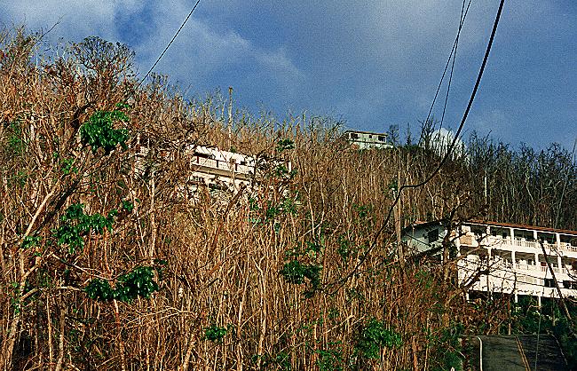
Hurricane Marylin's winds stripped the leaves of most of the plants in Saint Thomas. For weeks, the entire island had a brownish color, when seen from a distance.
Because everything to the highest altitudes was covered
in sea salt, the vegetation and animals were subjected to
additional stress from which they took several months to
recover. Several species of birds and butterflies disappeared
for months, then to slowly reinvade from neighboring islands.
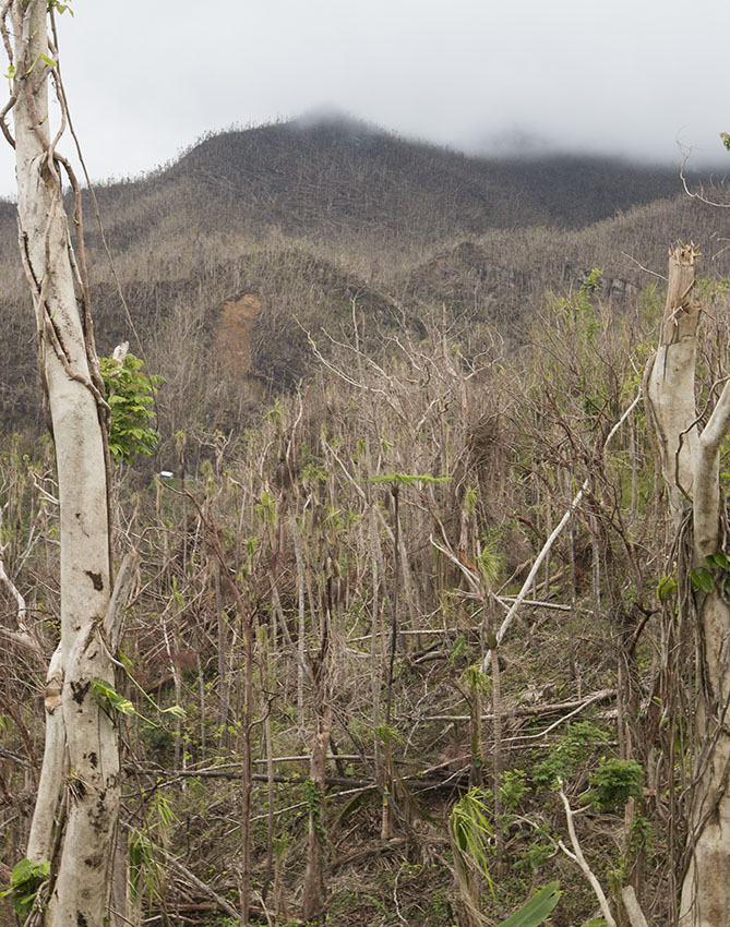
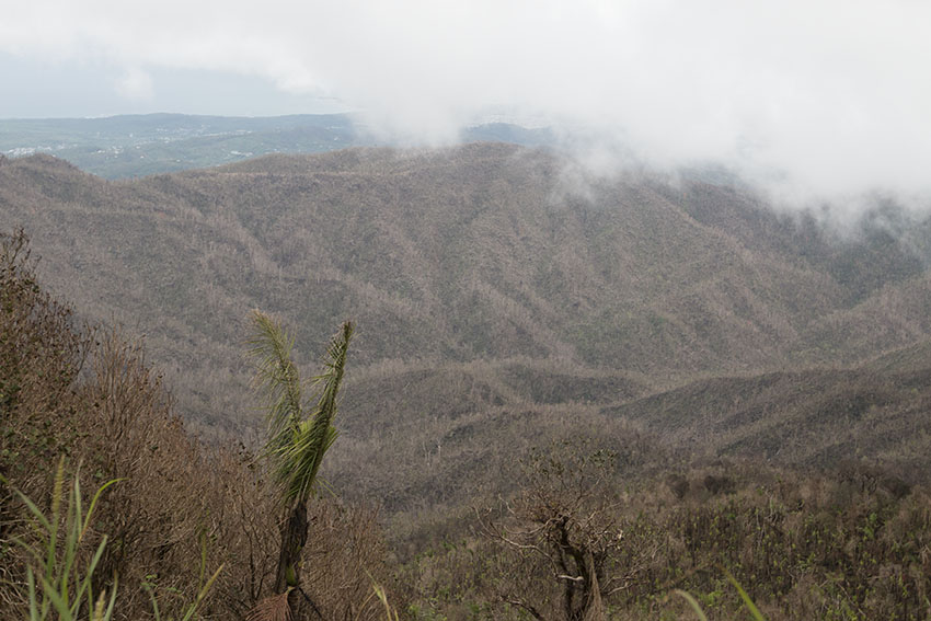
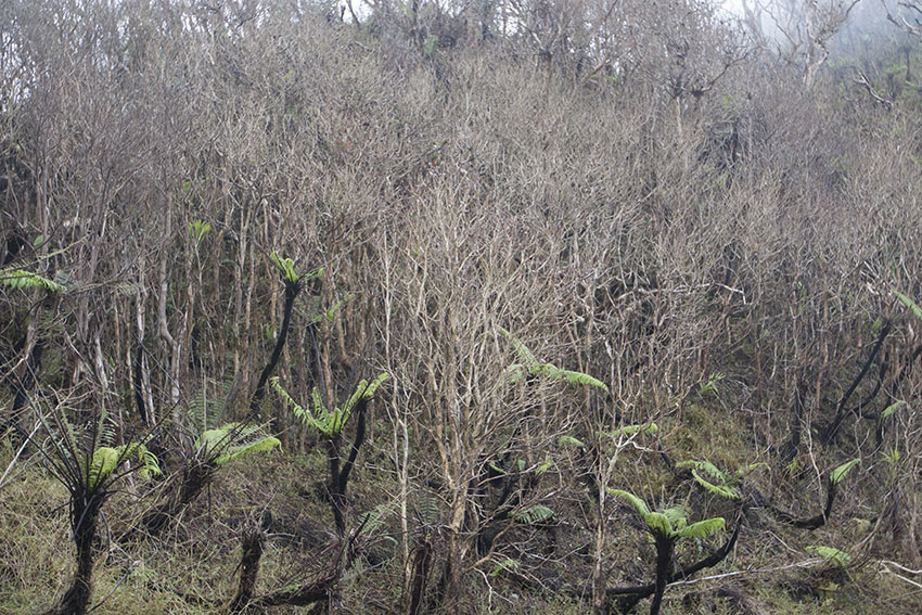
El Yunque National Forest was devastated by Hurricane Maria in
2017. The entire forest turned brown when trees lost their
leaves or were simply leveled by wind and landslides.
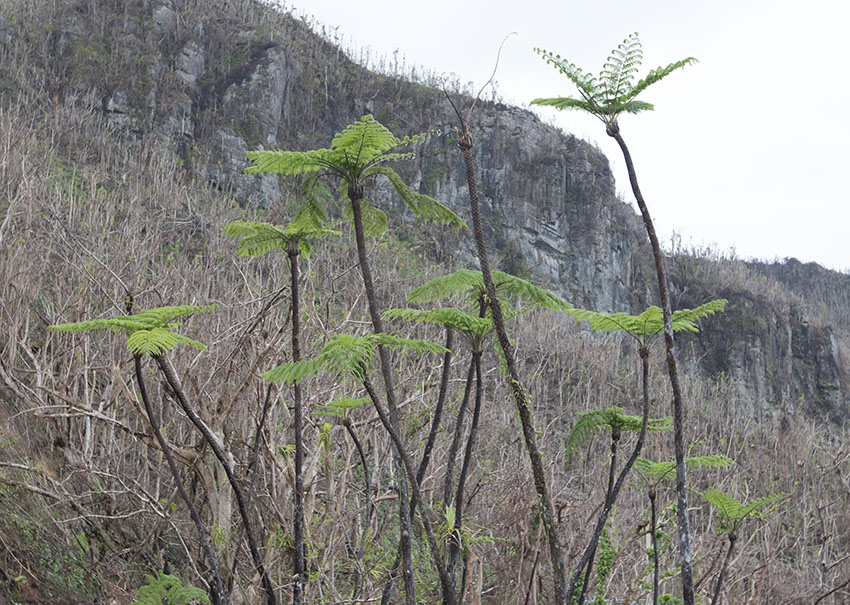
But
the forest will recover. Less than a month after Hurricane
Maria, treeferns and sierra palms has already sprouted new
shoots.
Hurricane Ivan went over the island of Grenada on September 2004.
Many building, like the Catholic Cathedral of the Assumption of Mary, were destroyed by the savage winds.
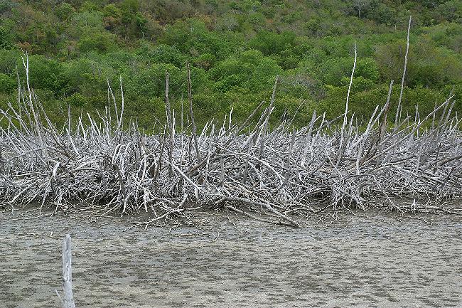
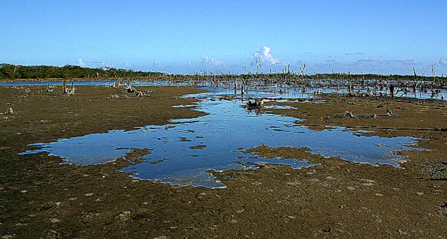
Years after the passage of hurricane Marylin through the Virgin Islands, the white skeletons
of mangrove trees stand in testimony to the wind's fury, months after the onslaught.
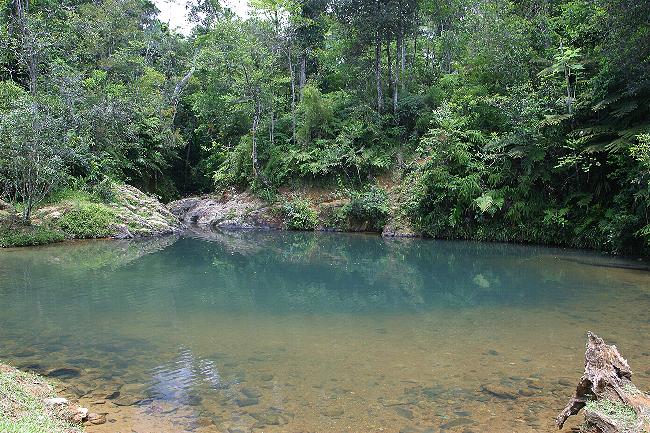
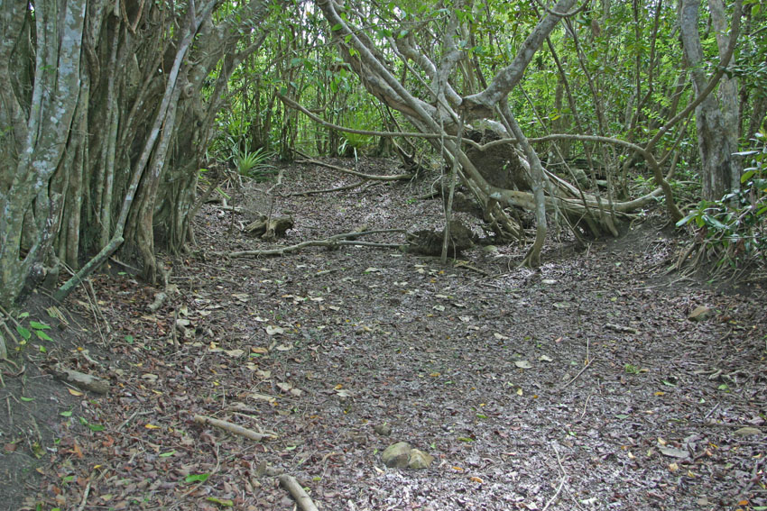
Mary Point Pond, Virgin Islands National Park, Saint John, United States Virgin Islands.
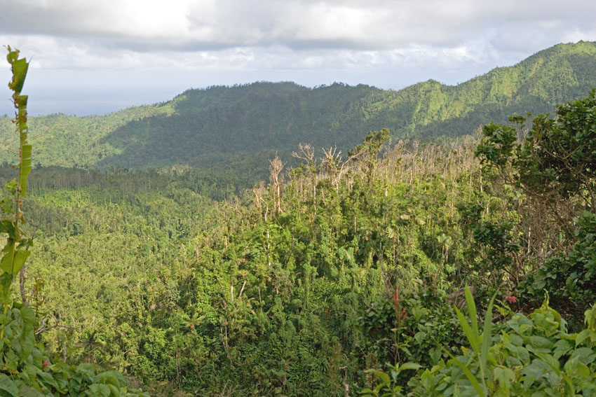
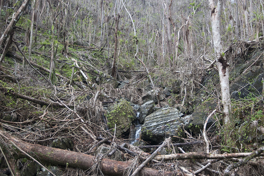
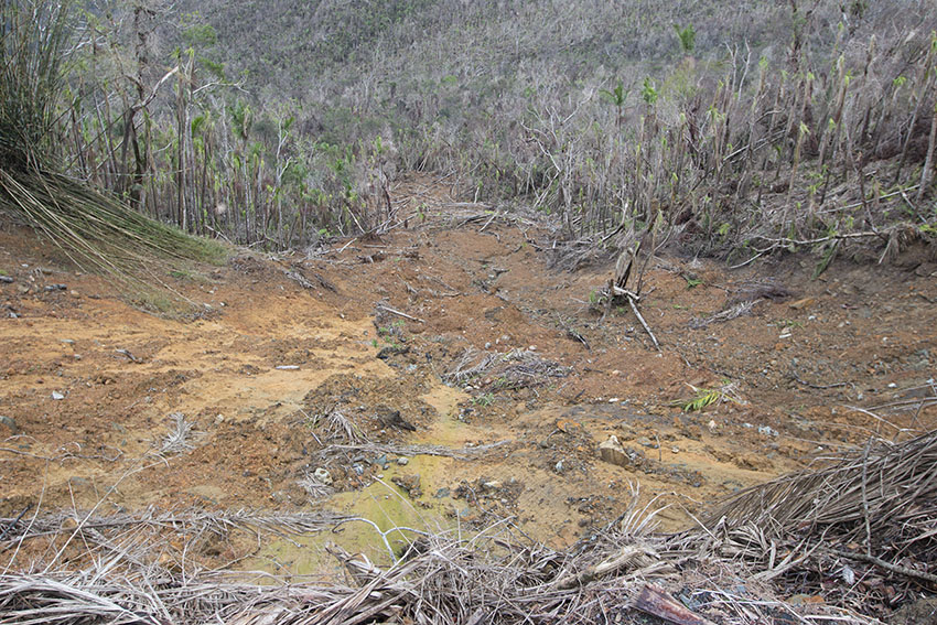
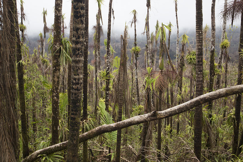
Montane tropical rain forests, central Grenada, Lesser Antilles.
These forests are still regenerating one year after the onslaught of hurricane Ivan.
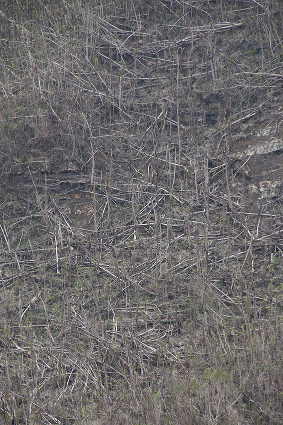
Most Caribbean islands are hit squarely by one of these gigantic tropical storms every 10 to 15 years, on the average. The result is that Caribbean tropical forests have a somewhat different structure than those in South and Central America. While such - and some are truly monstrous - cyclonic systems can ravage a forest beyond recognition, the fact is that these catastrophes help create niches for numbers of plant and animal species that would otherwise be unable to subsist indefinitely in more stable conditions. In such way and, ironically, hurricanes contribute to maintain the peculiar biodiversity of West Indian terrestrial ecosystems, since many organisms there evolved to cope with them.
However, hurricanes are also one of the reasons why small and flat Caribbean islands have comparatively few species of organisms, especially of the non-flying kind. It is not only that having smaller areas, lack of mountains and, thus, fewer available habitats limits their capacity to sustain more complex communities. Hurricanes never devastate in their entirety large islands, like the Greater Antilles and the largest of the Lesser Antilles and the Bahamas. In them, many animals will usually find refuge in the few relatively untouched areas, after the storm. But on smaller, low-lying islands like Anegada or Barbuda, and on tiny cays, a hurricane can indeed wipe out entire populations in mere hours through the effects of wind and sea water. Any survivors of the storm might remain so stressed, and for so long, by either lack of habitat or nourishment or by excessive sunlight due to the defoliation of the trees, that they might not survive, anyway.
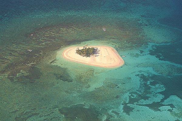
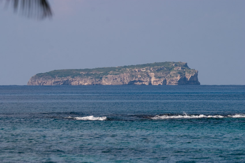
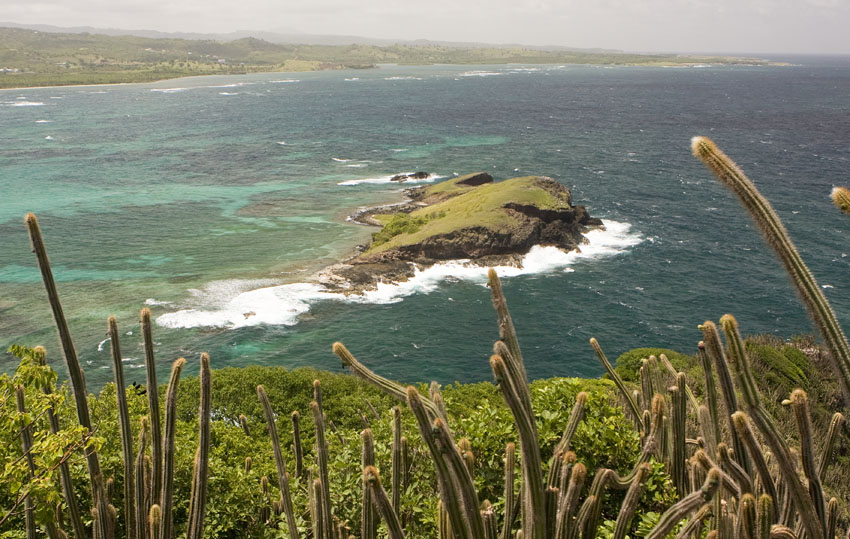
Icacos Cay and Palominitos Cay, both off the eastern coast of Puerto Rico.
Small cays and islets in the Caribbean have extremely depauperate terrestrial biota, due to limited variety of
habitats and the effects of hurricanes, which can totally flood them with seawater several times every century.
Both off these cays are fringed by coral reefs, the second most complex type of ecosystem on Earth, after tropical rain forests.
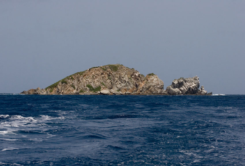
Small cays may harbor very localized endemics. This is Carrot Rock, in the British Virgin Islands.
(Photograph courtesy of Dr. Luis O. Nieves).
Saba Cay, off south-western Saint Thomas, United States Virgin Islands.
Inner and Outer Brass islands. Off northern Saint Thomas, United States Virgin Islands.
Caja de Muerto is a small island off the southern coast of Puerto Rico.
Protected as nature reserves, small land masses like this one can serve as refuges for organisms threatened in the main islands.
Mona Island.
Although politically it is part of Puerto Rico, it is actually closer to Hispaniola.
This impressive, arid plateau of limestone isolated in the Caribbean Sea is home to a large number of endemic organisms.
(Photograph courtesy of Mr. Joseph Burgess).
Monito Cay, off northern Mona Island.
(Photograph courtesy of Mr. Joseph Burgess).
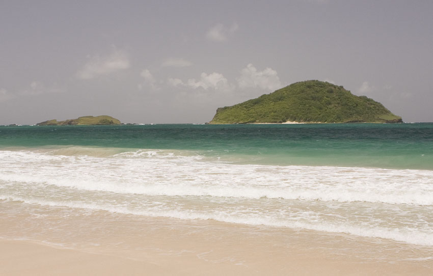
The Maria Islands, off south-eastern Saint Lucia, Lesser
Antilles.
These are the last refuge of several Saint Lucian endemic
reptiles now extirpated from the main island due to predation by
exotic mongooses.
Hurricanes and volcanic eruptions aside, it is precisely the stability of the temperatures and humidity in the tropics in general what allows for the immense wealth of life in them. Not having to cope with drastic changes in the amount of abiotic factors such as sunlight, heat, and rainfall, permits organisms to more constantly and exclusively deal with other organisms. They invest more energy in surviving interactions and in coevolving with each other in ever-changing relationships of predator and prey, of parasite and host, as well as constant chemical warfare and competition for shelter, food, or mates. They strive to make ever better use of their tri-dimensional territories. Doing all this, and being able to remain active and reproduce for longer periods of time, unbroken by hibernation and aestivation, grants living beings greater chances to speciate. In tropical environments the result of such stability - and the continuous activity and evolution it provides for - is an exponential increase in the number of species as compared to Earth's temperate forests and tundras, which are subjected to far more drastic climatic changes.
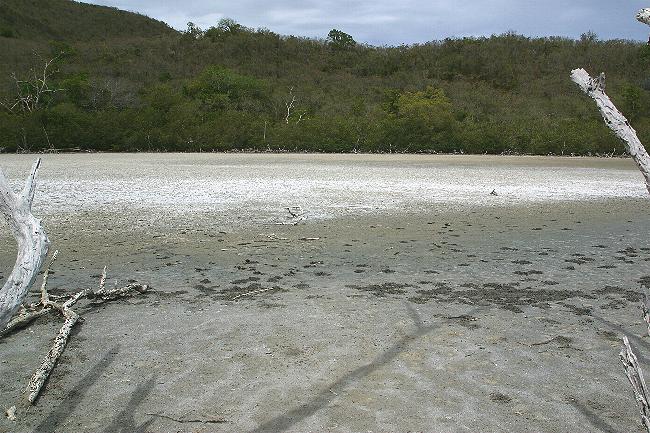
In some coastal areas of the Antilles the wind shapes the shifting sands into dunes. Such geologic formation, as well as the ecosystems that depend on them, have disappeared from extensive regions due to development and other human-related reasons. In other places are found salt flats formed by the evaporation of salt water reaching inland after a storm or unusually high tides or deposited by rivers with no exit to the sea.
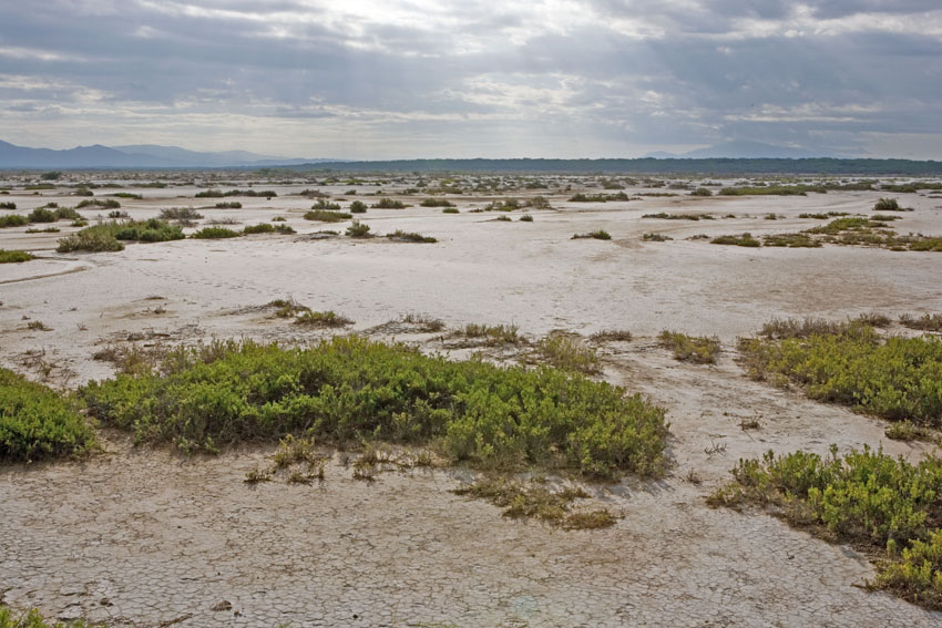
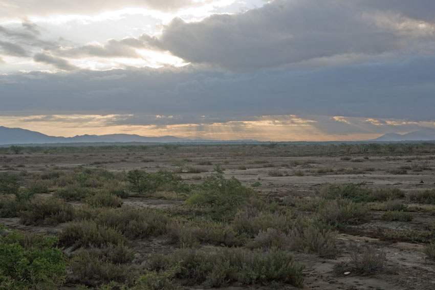
Salt
flats
and mud flats occur in the coastal lowlands of the West
Indies.
As an exception to that rule, these ones are found inland, in
the Lake Enriquillo Depression, south-central Dominican
Republic, Hispaniola.
The first photograph shows in the distance are the Neiba
Mountains, with their almost perpetual cover of clouds.
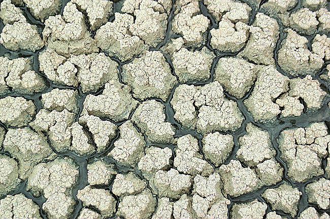
The muds and clays of salt flats have a very high organic component, and often smell of methane,
produced by the decomposition of eons of accumulated leaves and other plant material.
Anegada, British Virgin Islands.
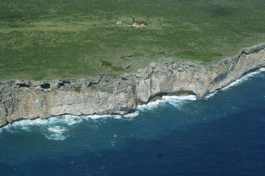
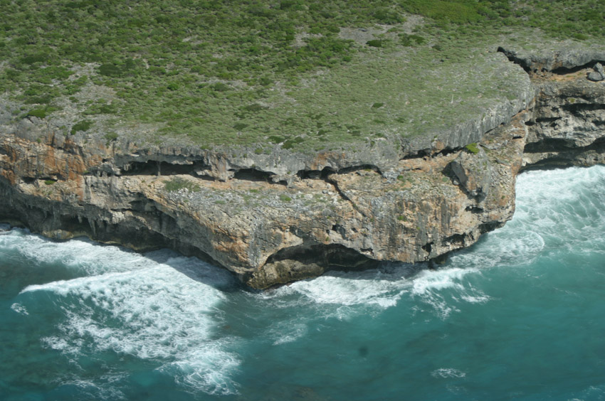
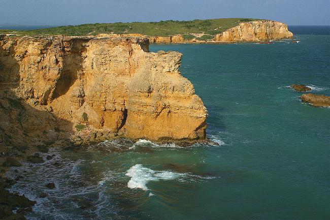
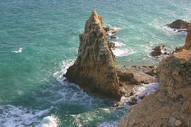
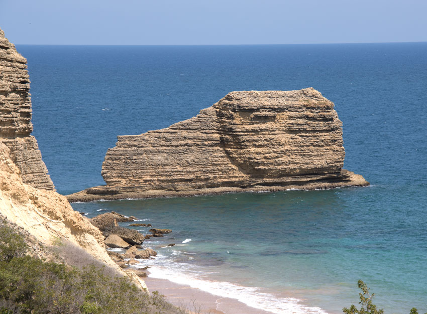
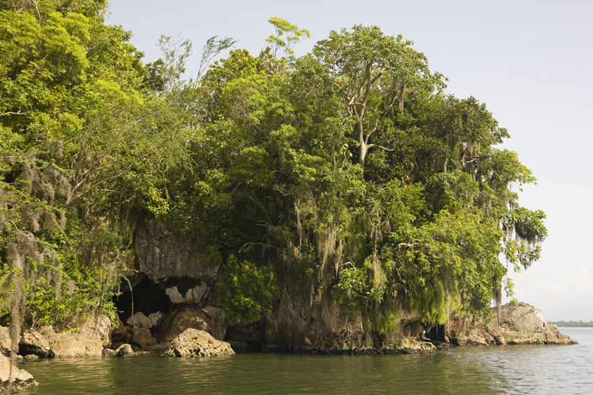
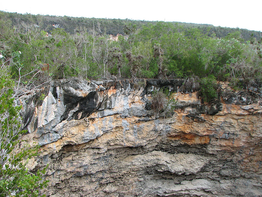
The seemingly lifeless rocky shores of some islands, made of limestone, sandstone, or granite are a haven for diverse organisms both above and below water. Such are favorite hunting and perching grounds for pelicans, tropicbirds, gulls, and other avian species.
Where limestone reaches the sea, being a rather soft rock, it is often cut into high cliffs and pinnacles. These provide nesting places for a number of marine and terrestrial birds.
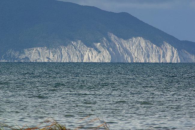
Limestone cliffs on the coast of Azua, southern Dominican Republic, Hispaniola.
Limestone
cliffs
undercut by the waves. Cabo Rojo State Forest,
south-western Puerto Rico.
El Morro de Monte Cristi and its related cays are the remnants
of an eroded limestone plateau in the north-western Dominican
Republic, Hispaniola.
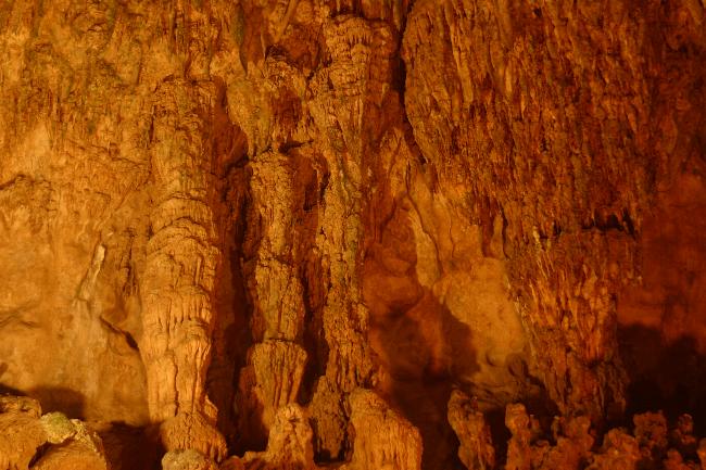
The Greater Antilles, as
well as some of the Lesser and many of the Bahamas, have
extensive areas of limestone, crevassed and hollowed-out by
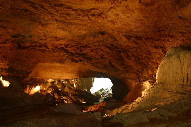
sink-holes and caverns, some of immense proportions. The Camuy
and Encantado rivers, in northern Puerto Rico, are partially
subterranean water courses passing through cavern systems 16 and
18 kilometers long, respectively. Similar rivers exist in all
the other Greater Antilles.
The Stygian darkness of
these underworlds maintain their own ecosystems, many of them
surprisingly rich and complex. It is not only the usual bats,
but also fungi, shrimp, fish, whip spiders, onycophorans,
tarantulas, crickets, snakes, and many others who call these
places "home". Some of these creatures spend their entire life
cycles inside caverns, and are called "troglobites".
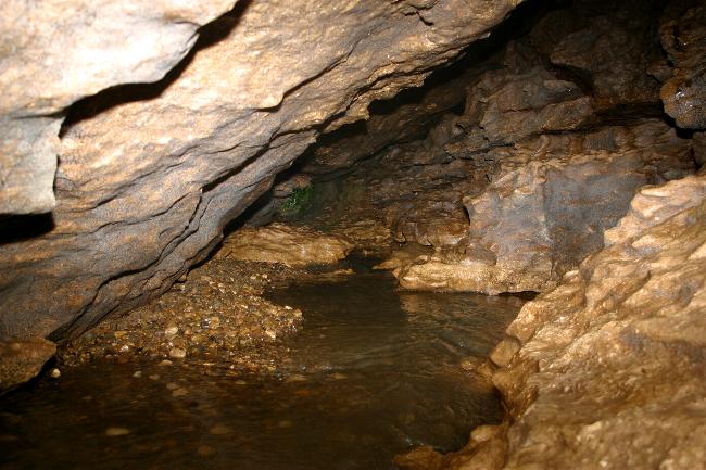
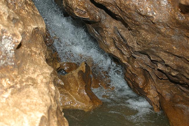
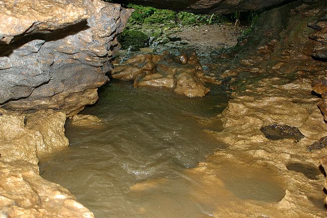
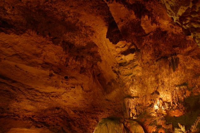
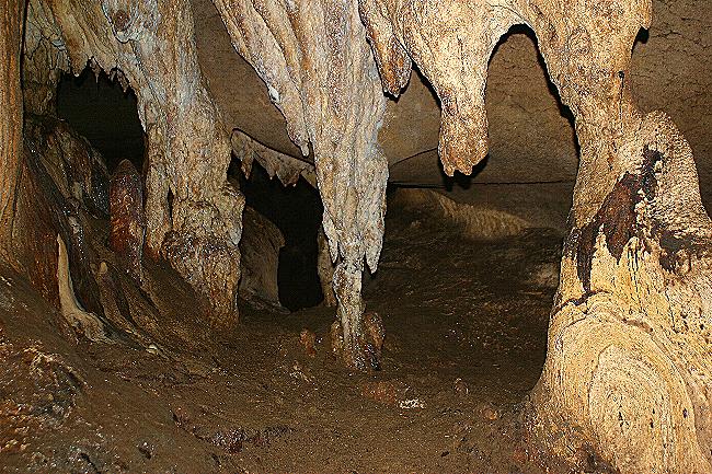
Subterranean streams and waterfalls in Yuyu Cavern. Ciales, central Puerto Rico.
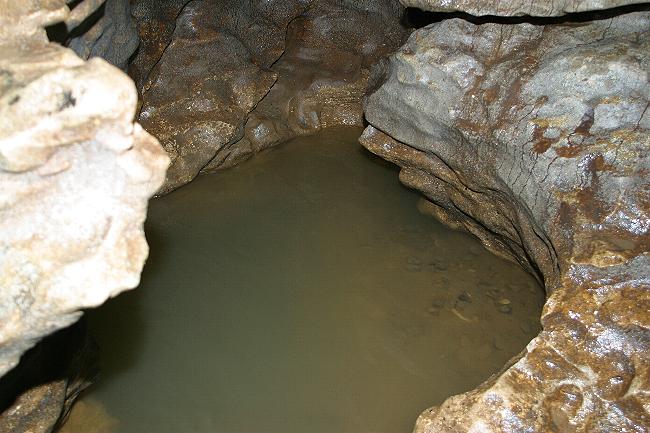
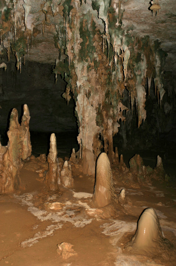
Water is the main builder of limestone caverns. Clara Cavern, Camuy Cavern Park, Camuy, north-western Puerto Rico.
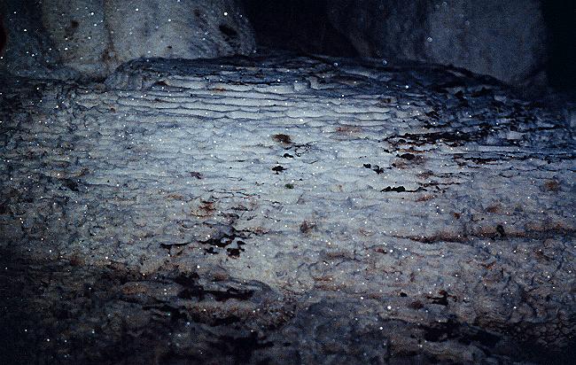
Dripping water leaves deposits of calcite in many limestone caverns. Isabela, north-western Puerto Rico.
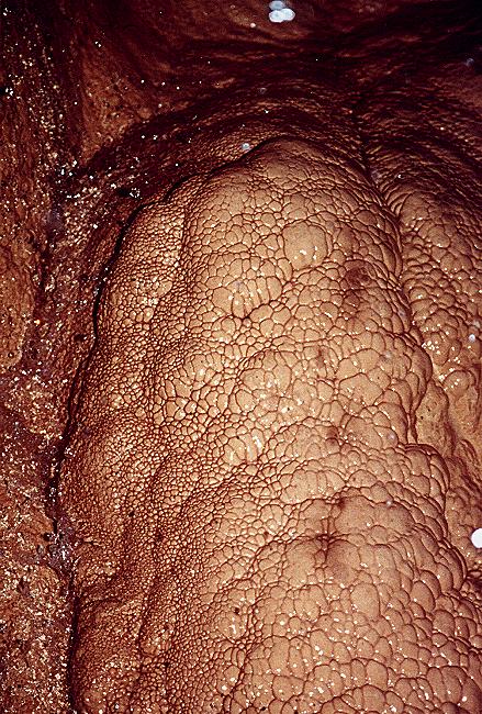
Some of the formations created by the action of water on rock have an almost organic appearance.
It is a strange sensation one gets when expecting some to be pliable and spongy,
and then realize they are rock-hard and abrasive to the touch.
Yuyú Cavern, Ciales, central Puerto Rico.
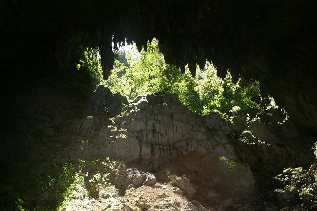
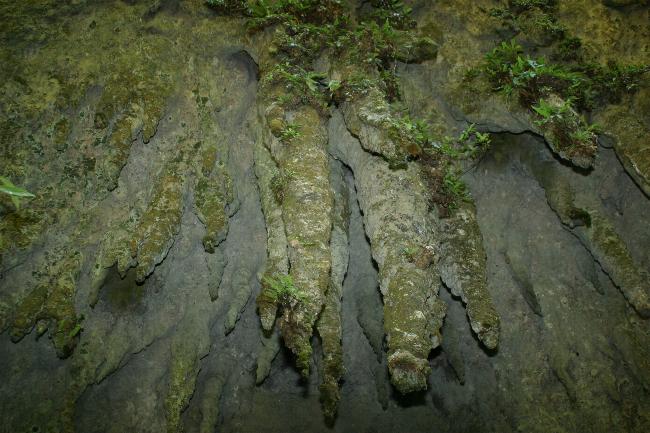
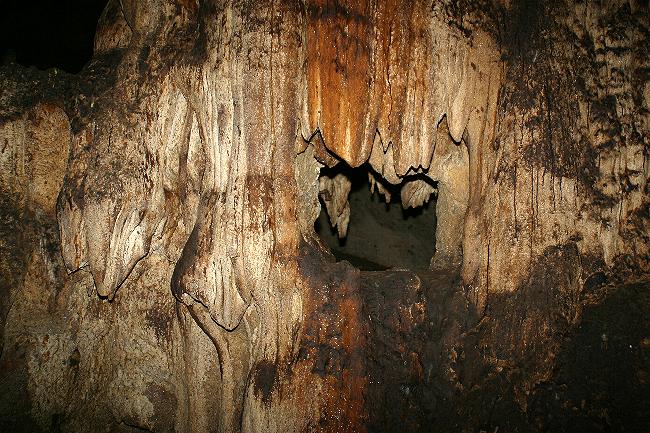
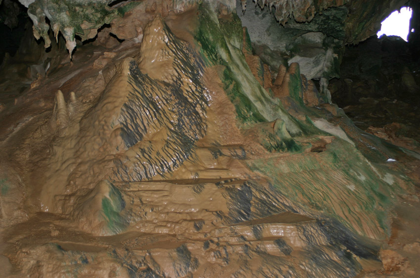
Near the entrance of caves and caverns, mosses and other organisms
adapted to low light levels can be found on the walls.
Cathedral Cavern, Camuy Caverns, Park, Camuy, north-western Puerto Rico.
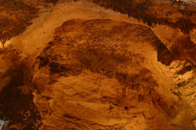
Clara Cavern, Camuy Caverns Park, north-western Puerto Rico.
The "boulder" in the fourth photograph from left to right is actually the largest stalagmite known to date.
A cavern in Cabo Rojo, south-western Puerto Rico. Locally known as "Cueva de la 22", it harbors tens of thousands of bats.
The brown stains on the rock faces are caused by bat guano.
Caverns, Mona Island.
Mona is a small island located between Puerto Rico and Hispaniola. Composed completely of limestone, it is hollowed-out by nummerous caverns.
(Photograph courtesy of Mr. Joseph Burgess).
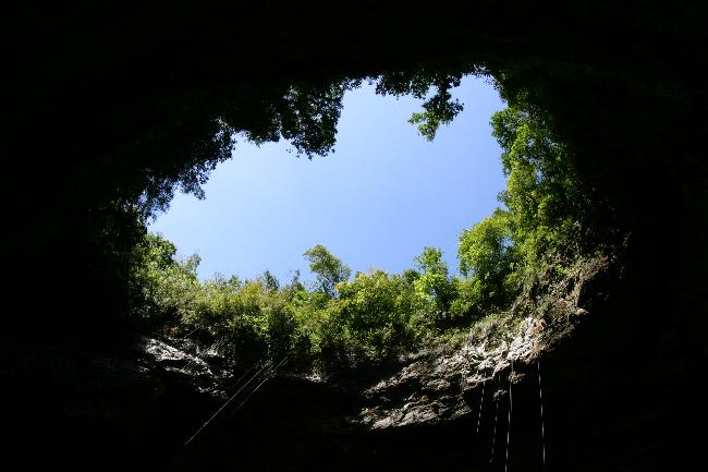
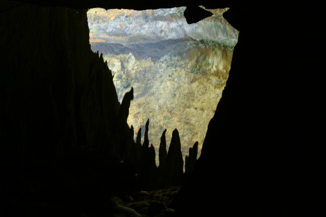
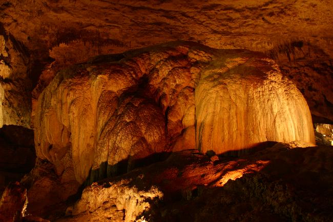
When the roof of a cavern collapses, a geological formation called a "sinkhole" is created.
This is the entrance to a sinkhole, seen from below.
Near Clara Cavern. Camuy Caverns Park, Camuy, north-western Puerto Rico.
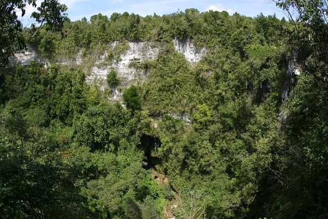
A view from the rim of Tres Pueblos sinkhole. Camuy Caverns Park, Camuy, north-western Puerto Rico.
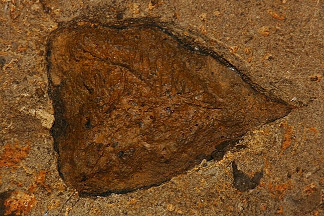
Snail fossils embedded in the limestone.
Cueva de la 22, Cabo Rojo, south-western Puerto Rico.
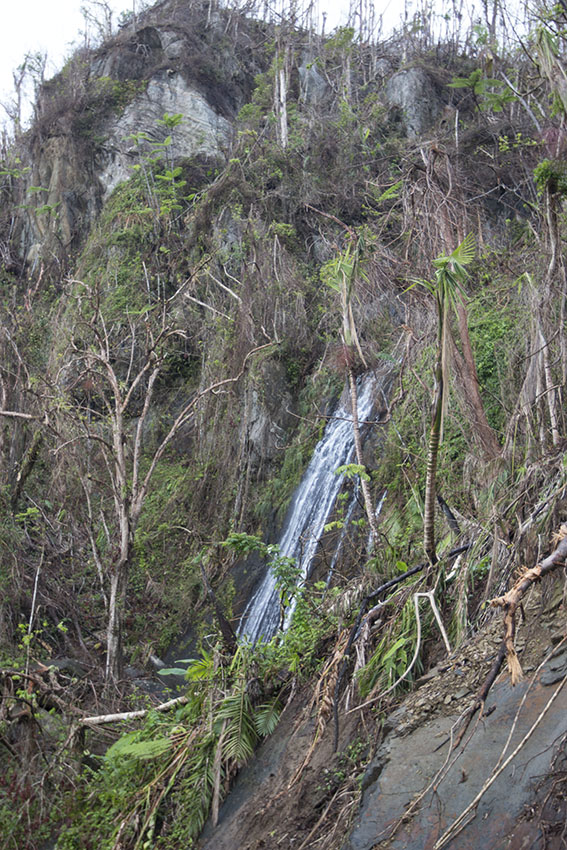
There is enough water on planet Earth to leave a faucet running for 336 trillion years. A large amount of this water falls on the Antilles as rain due to the abundance of steep terrain. The orographic ("caused by the mountains") rainfall typical of Antillean highlands contributes to the formation of streams and waterfalls, especially on the windward side of the mountain ranges. As the trade winds pass over the towering backbones of the islands, water vapor from the Atlantic Ocean and the Caribbean Sea condenses and the resulting clouds dump billions of liters of water every year. Some of the mountains in the Lesser Antillean islands of Guadeloupe, Dominica, and Martinique are among the wettest regions in the entire Western Hemisphere, receiving as much as 8 meters of rain in a year.
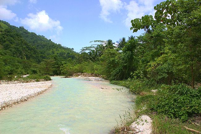
Streams are plentiful in the more mountainous of the West Indies. This one is near Marigot, north-eastern Dominica, Lesser Antilles.
The Luquillo Mountains, seen here from the coast, are located in eastern Puerto Rico.
They collect a lot of humidity from the Atlantic Ocean and are the wettest region in that Greater Antillean island.
Similar patterns of rainfall occur everywhere in the West Indies.
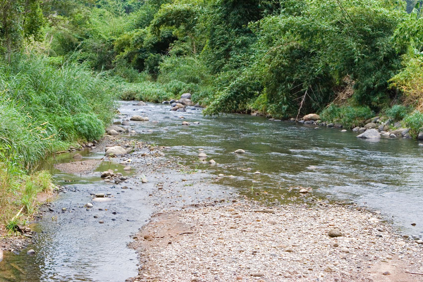
Stream. Near Grenvile, eastern Grenada, Lesser Antilles.

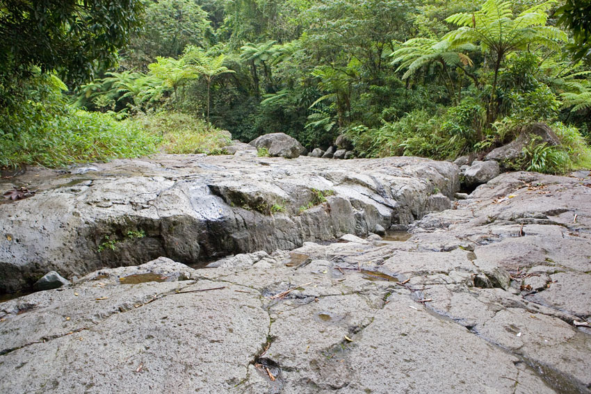
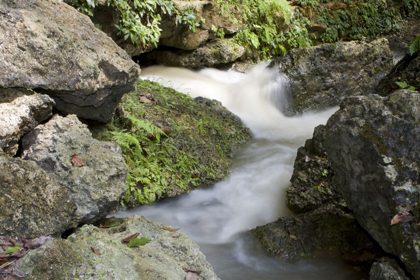
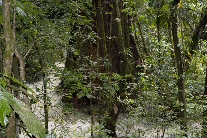
Rio Blanco. El Yunque National Forest, north-eastern Puerto Rico.
Small mountain streams like this one may become raging torrents during downpours of rain. Along their margins, the rain forest closes into a green wall on each side.
The first Europeans who reached the American tropics usually explored along navigable waterways, and thus thought at first that rain forests were impassable jungles.
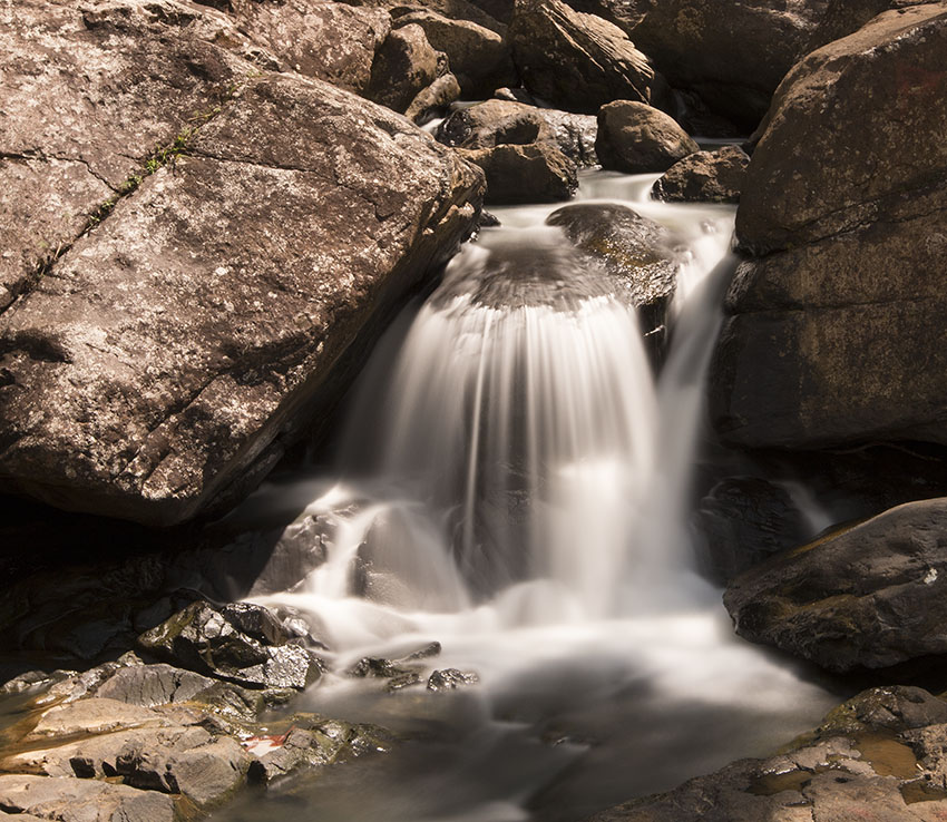
Waterfalls. El Yunque National Forest, north-eastern Puerto Rico.

La Mina Falls. El Yunque National Forest,
Luquillo Mountain Range, north-eastern Puerto Rico.
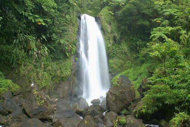
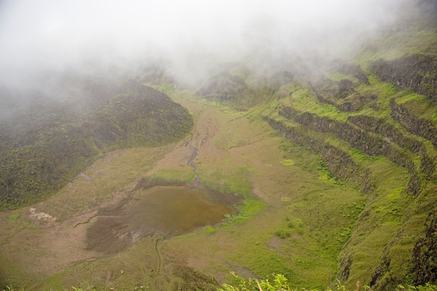
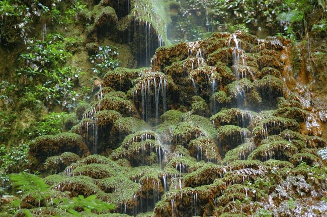
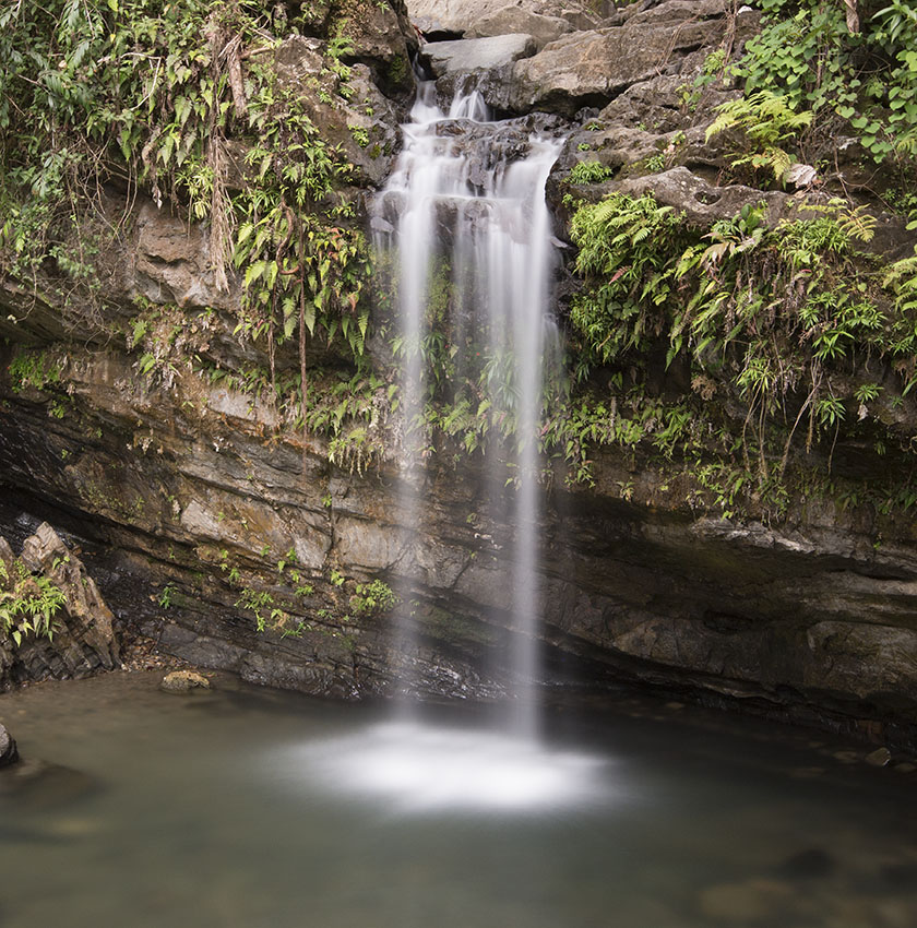
Trafalgar Falls. Morne Trois Pitons National Park, south-central Dominica, Lesser Antilles.
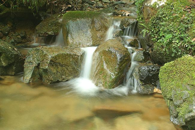
Stream pool in the lowland rain forest. Carite State Forest, east-central Puerto Rico.
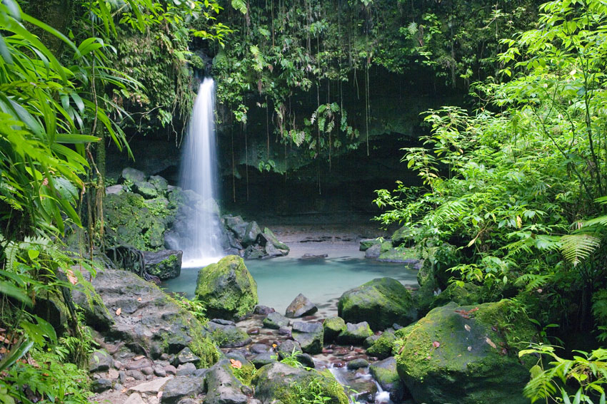
The Emerald Pool. Morne Trois Pitons National Park, south-central Dominica, Lesser Antilles.
Waterfall in the montane tropical rain
forest.
Ebano Verde Nature Reserve, Central Mountain Range of the Dominican Republic, Hispaniola.
Some streams and waterfalls dry out during periods of drought.
Near Reef Bay Trail, Virgin Islands National Park, Saint John, United States Virgin Islands.
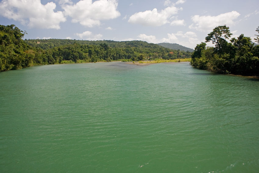
The Rio Grande's mouth, north-eastern Jamaica.
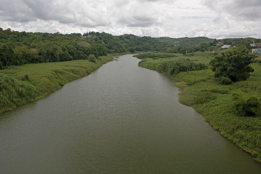
Rio
Grande de Loiza, north-eastern Puerto Rico.
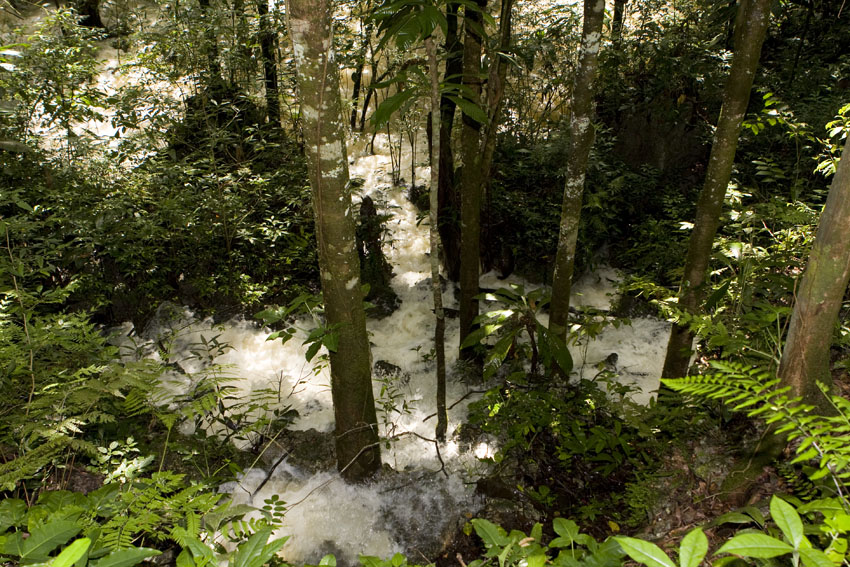
Even on porous grounds like those of karstic forests, seasonal
torrential can cause raging, temporary torrents to sweep
through the forest.
Windsor, north-central Jamaica.
Ecosystems
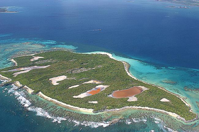
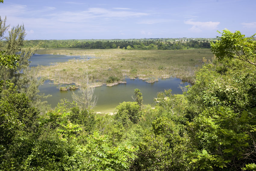
The lowlands of larger Antilles frequently have freshwater, brackish, and saline wetlands of diverse sizes which, like mountains and xeric regions, may have high concentrations of local endemics (organisms that live only in a given area: island, lake, mountain range, etc.). The Zapata Swamp of Cuba and the Enriquillo Lake of Hispaniola are the best examples of these ecosystems in the West Indies. A few natural lakes and ponds are found in the Antillean highlands, as well.
The West Indies do not have a complex freshwater fish fauna. There are a few dozen endemic fishes in Cuba, Hispaniola, Jamaica, and some of the Lesser Antilles. Among these species there are several blind troglodytes in Cuba. Aside from fish, several groups of organisms have evolved a number of endemic species in freshwater habitats. There are aquatic anoles in Cuba and Hispaniola, troglodyte amphipods and shrimp in Puerto Rico and Mona Island, freshwater clams in the Greater Antilles, and terrestrial rain frogs that have reverted to a life in water, at least partially, in all the Greater Antilles and in some of the Lesser.
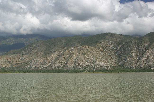
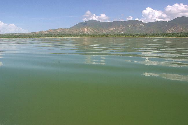
The "Dead Sea of the Caribbean": Lake Enriquillo. South-western
Dominican Republic, Hispaniola.
Although today it is found many kilometers away from the nearest
ocean, this hypersaline lake is a
remnant of a shallow sea that once separated the northern and
southern paleoislands of Hispaniola
In truth being neither as salty nor as "dead" as its Israeli
homologue, this unique West Indian
lake and its surroundings have a rich fauna and flora with a
high degree of local endemism, including
properly marine fish and mollusks.
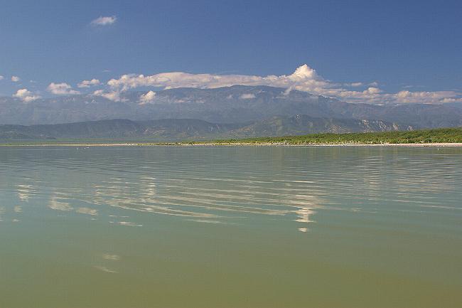
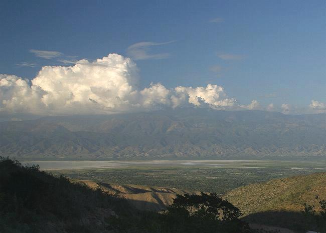
The Bahoruco Mountains seen from Lake Enriquillo.
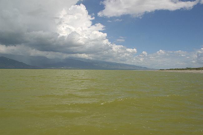
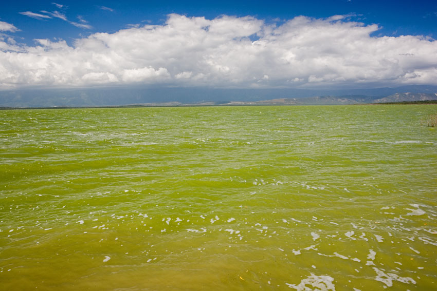
A storm hovers near Lake Enriquillo, as
wind churns its usually placid waters.
The Neiba Range is seen beyond it.
Cabritos Island, in the middle of Lake Enriquillo, is a xeric ecosystem filled with cacti and thorn brush.
A southward view of Lake Enriquillo at dusk, from the Neiba Mountain Range, in the northern Hispaniolan paleoisland.
In the distance, the foothills of the Bahoruco Mountains, in the southern paleoisland. The lake and the surrounding
lands are a jewel of biodiversity among the Caribbean islands. It is now a national park, enjoying protection of its biological treasures.
Part of Cabritos Island can be seen in the middle of the lake, in the upper-right quadrant of the photograph.
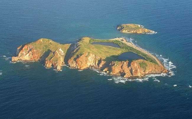
Grand Etang, central Grenada, Lesser Antilles.
This lake is located in the crater of an extinct volcano.
Tortuguero Lagoon and its surrounding sandy flats
contain several endemic species of plants not even found on the rest of the island.
Manatí,
northern
Puerto Rico.
Tortuguero Lagoon, northern Puerto Rico.
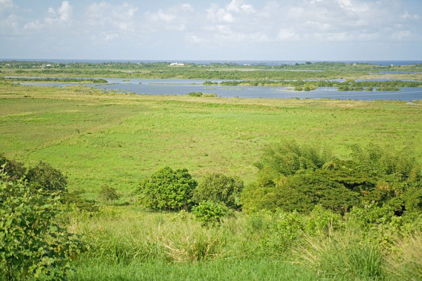
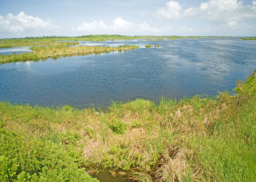
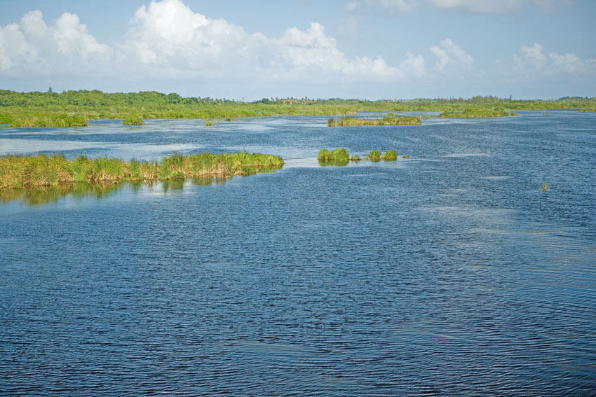
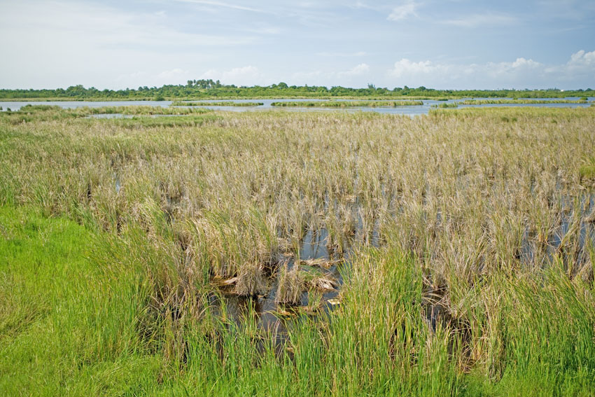
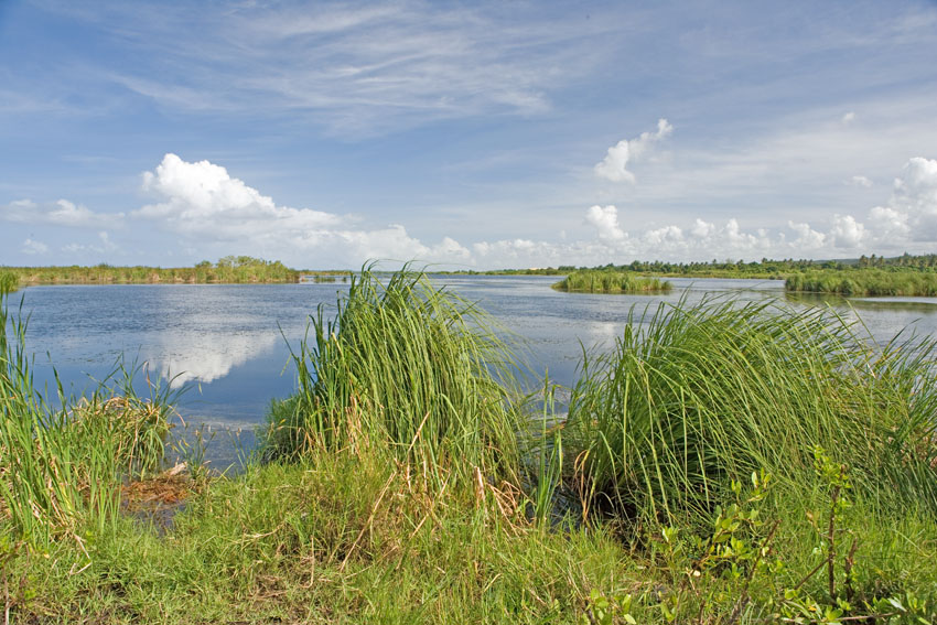
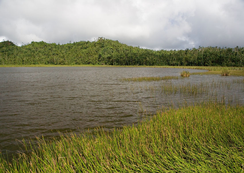
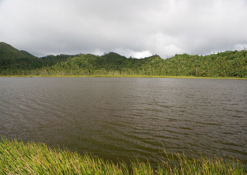
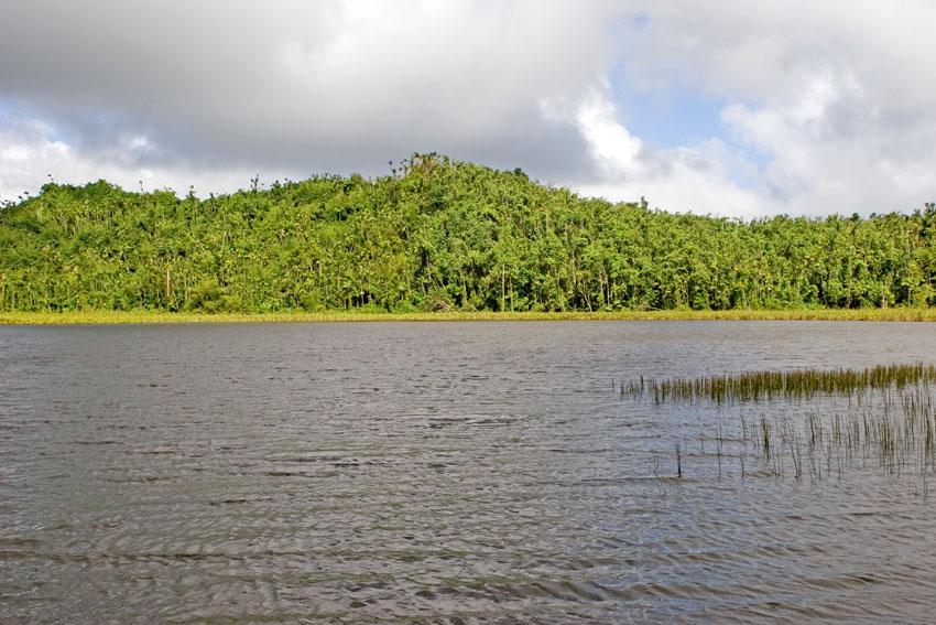
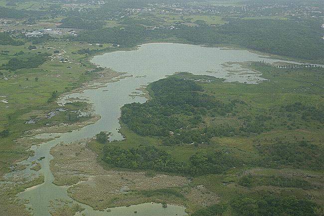
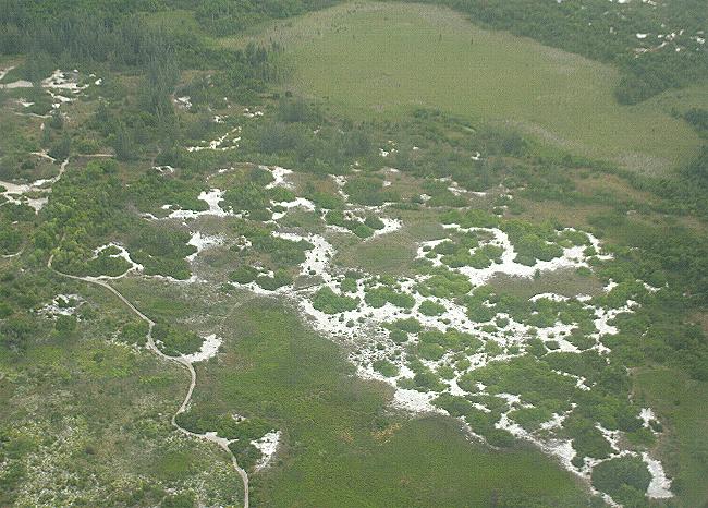
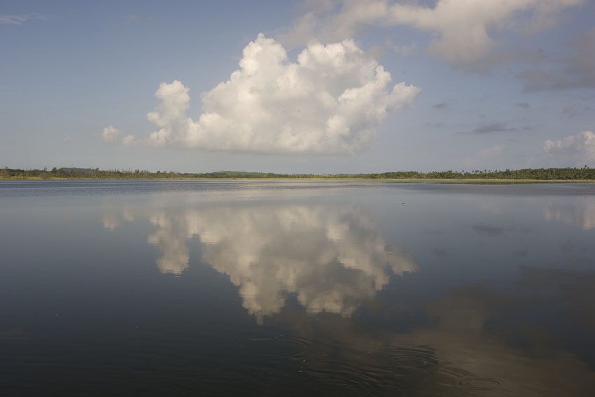
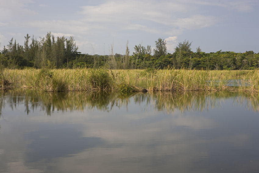
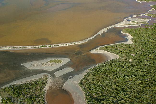
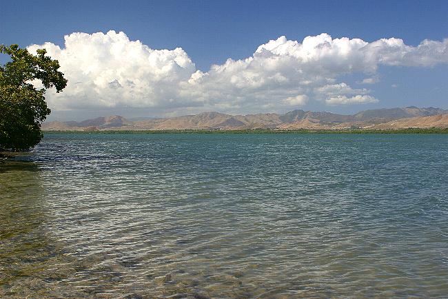
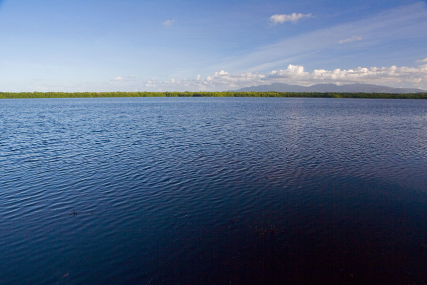
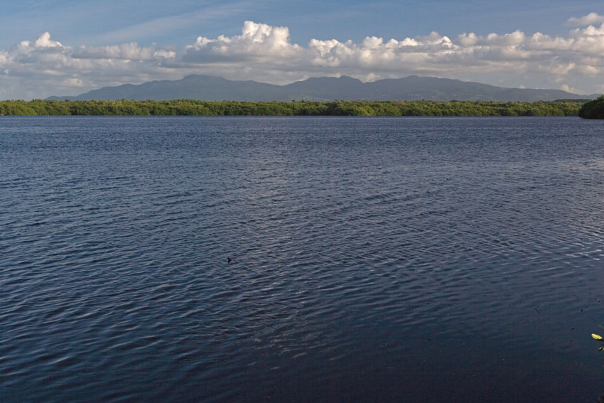
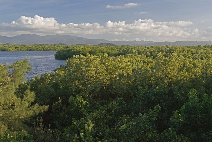
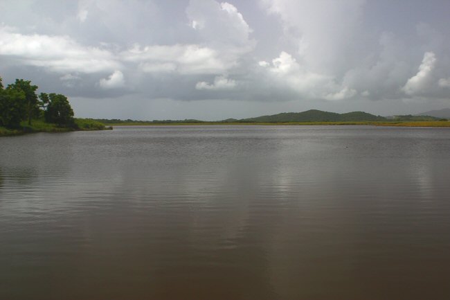
Swamplands are very important habitat for scores of native and seasonally migrant organisms in the West Indies.
Caño
Tiburones
Nature Reserve, northern Puerto Rico.
Freshwater lagoon. Near Monte Cristi, north-western
Dominican Republic, Hispaniola.
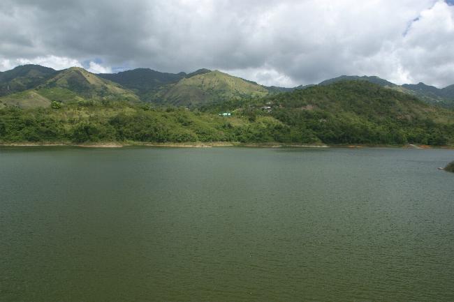
Luchetti Reservoir. Yauco, south-western Puerto Rico.
Artificial water deposits like these may offer habitats for a variety of wildlife to dwell in.
Dry waterhole. Gorda Peak National Park, Virgin Gorda, Britiah Virgin Islands.
The trees with the tangled roots are white figs, Ficus citrifolia.
Mary Point Pond. Virgin Islands National Park, Saint John, United States Virgin Islands.
Photographs taken during the dry and wet season.
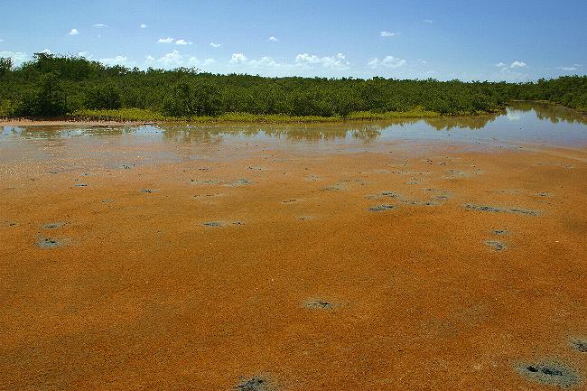
During the dry season, many salt ponds like this one dry up, leaving behind mats of salt crystals on the mud.
The dead snags are those of mangrove trees killed during the passage of a hurricane.
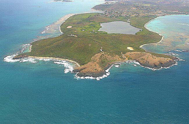
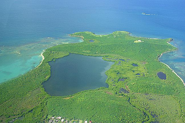
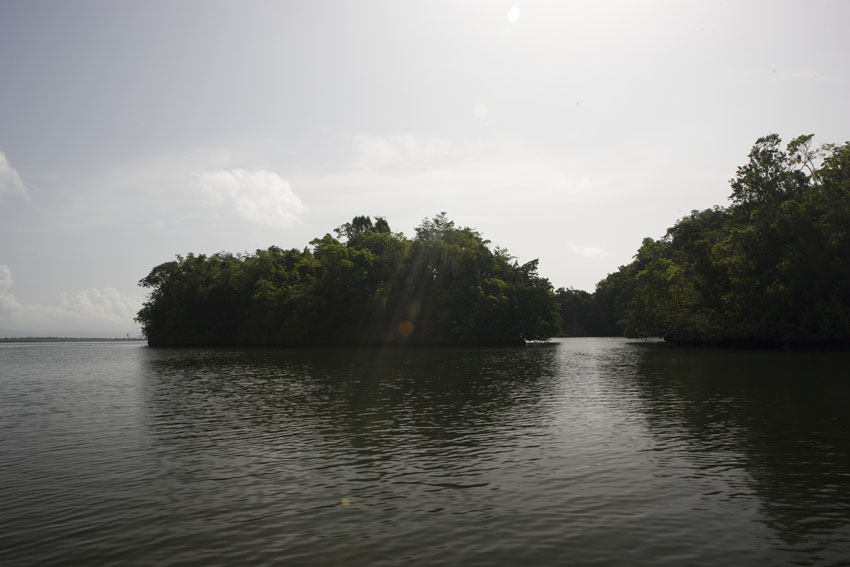
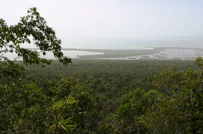
Mangrove lagoons like the one seen here from the air dot the coastal areas of the Antilles.
Cabezas de San Juan Nature Reserve, Fajardo, north-eastern Puerto Rico.
First picture taken during the Caribbean dry season, the second one during the rainy season.
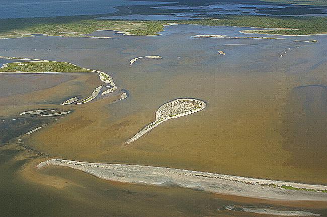
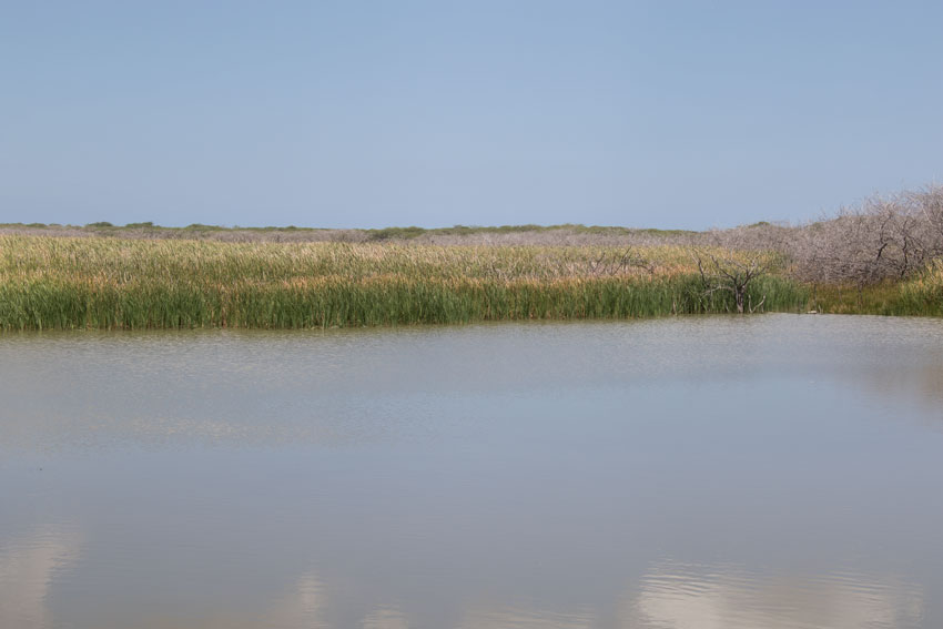
Extensive saline lagoons exist in some islands like Anegada.
These serve as feeding and breeding grounds for many species of birds and other organisms.
Saline
lagoons
and xeric forests.
First photograph: Ballast Bay, southern Saint Christopher,
Lesser Antilles.
Second photograph: Sandy Point National Wildlife Refuge, south-western Saint Croix, United States Virgin Islands.
The Salt Pond, south eastern Jamaica.
Oviedo Lagoon. Jaragua National Park, south-western Dominican Republic, Hispaniola.
Saline lagoons and coastal inlets can be seen in this aerial
view of Vieques Island, part of the Puerto Rican insular bank.
Estuaries like Jobos Bay, in south-eastern Puerto Rico are saltwater bodies that receive some amounts of freshwater from the surrounding lands.
The next two pictures show the tidal flats found in the lowlands adjacent to the bay.
An example of a tropical estuarine ecosystem: the Torrecilla Lagoon. Piñones State Forest, north-eastern Puerto Rico.
Estuaries are very rich in species, since they mingle biota of two ecosystems: fresh- and saltwater.
Humacao Nature Reserve, south-eastern Puerto Rico.
Over time, tidal flats like this become colonized by mangrove trees, which thus extend the land toward the sea.
Mangrove Lagoon, south-eastern Saint Thomas, United States Virgin Islands.
Tidal flats become flooded with sea water - and then dry up - every day as a result of the tides
In the second photograph, the tide slowly creeps onto the flat. In a few hours, the entire area would be under water.
Aguirre State Forest, south-eastern Puerto Rico.
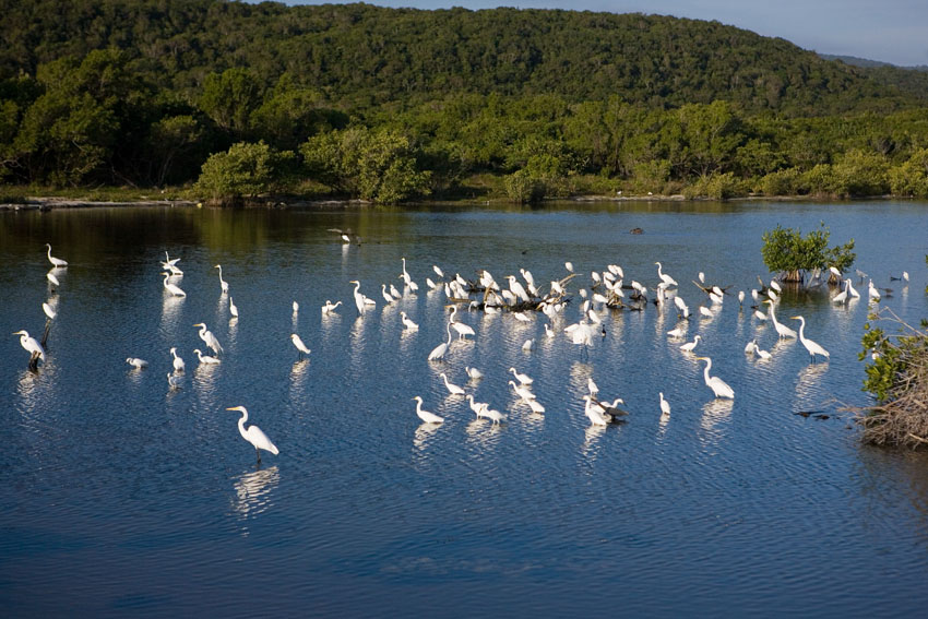
Water attracts animals of all sorts. These herons, pertaining to diverse species, enjoy to cool waters of a coastal lagoon.
North-western
Jamaica.
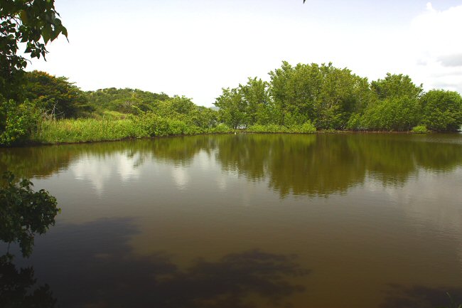
Cartagena Lagoon, one of the few natural freshwatwer areas in
Puerto Rico. Lajas, south-western Puerto Rico.
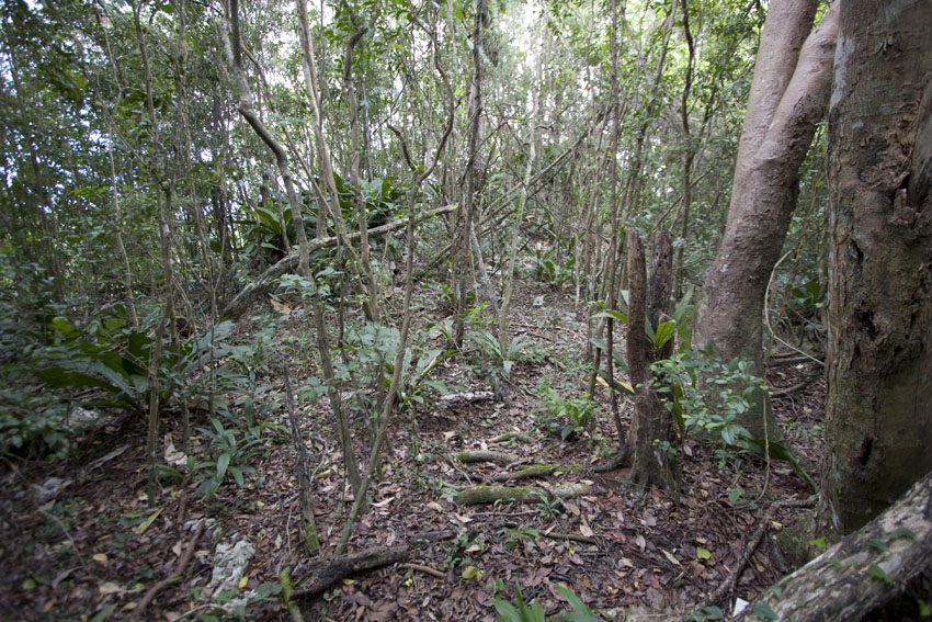
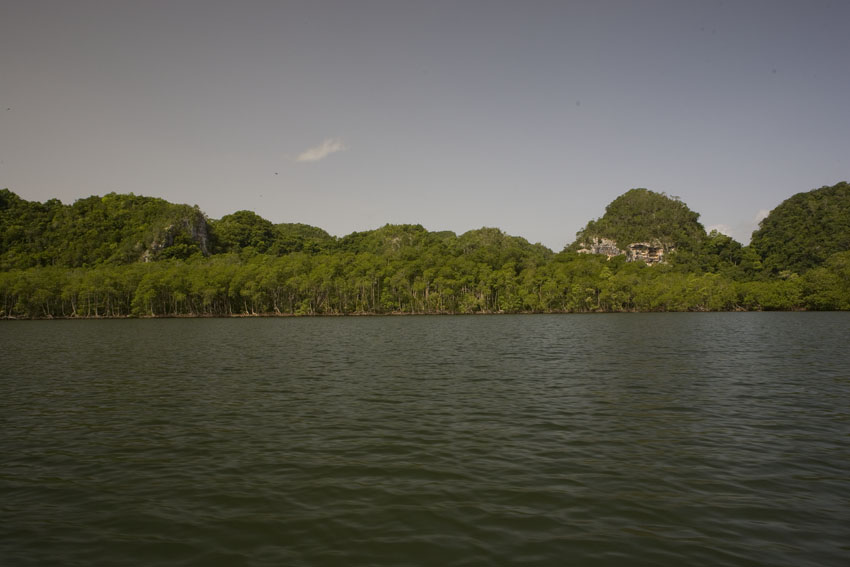
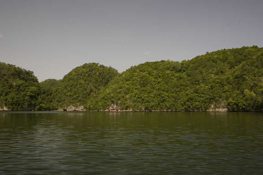
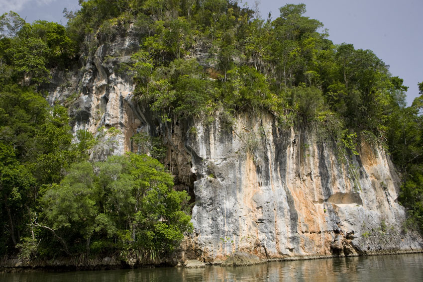
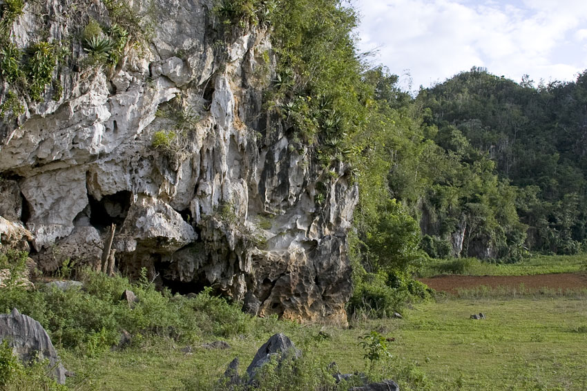
Worldwide, forests that grow on a base of limestone are called "karstic" forests. Among them, those growing in tropical humid areas may resemble rain forests in appearance. They are generally drier, though, since the porous limestone allows for much of the rain water to percolate beyond the reach of the trees' roots. However, in the Antilles, the absolute biodiversity in these forests is sometimes higher than that of the rain forests of the same islands. In fact, karstic regions in the Caribbean are centers of local endemism, and many West Indian animals (Puerto Rican giant anoles, Jamaican fruit bats, greater Puerto Rican boas, Hispaniolan parrots, Cuban hutias, and others) make them their favorite haunts.
In humid karstic forests, the tops of limestone hills often experience almost desert-like conditions because water percolates through the limestone so quickly.
That, together with wind, creates dry forests even if the valleys among those same hills are covered in very humid lowland forests.
Florida,
central
Puerto Rico.
The summits of karstic hills can experience very dry
conditions in the midst of very wet lowlands. Toa Alta,
north-eastern Puerto Rico.
Humid
karstic
forests.
First photograph: Barbecue Bottom, north-central Jamaica.
Second photograph: Windsor, north-central Jamaica.
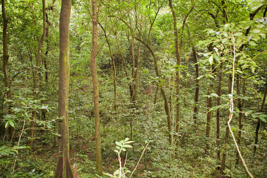
View
of the interior of a humid karstic forest. Florida, central
Puerto Rico.
Humid karstic forests close by the sea. Los Haitises National
Park, northern Dominican Republic, Hispaniola.
Karstic
hills.
Guajataca State Forest, north-western Puerto Rico.
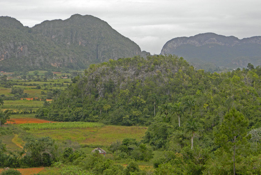
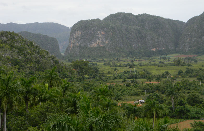
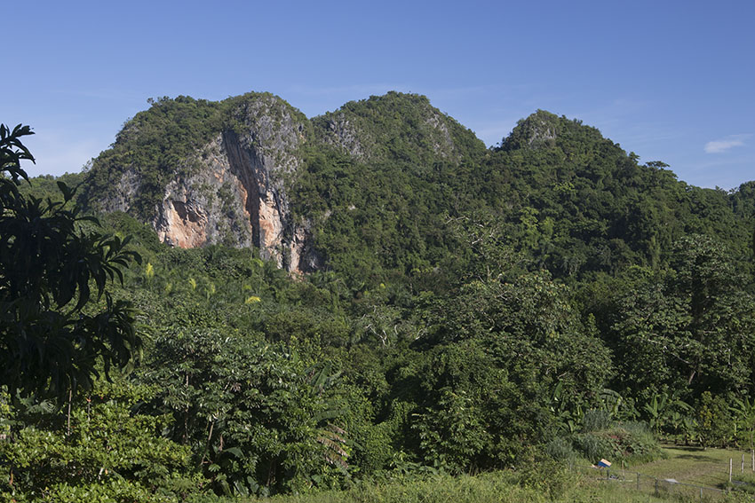
Karstic hills. Sierra de los Organos, western Cuba.
(First photograph courtesy of Mr. Joseph Burgess. Last two
photographs courtesy of Mr. Nathan Manwaring).
Karstic hills. El Rosario, south-western Puerto Rico.
Stream in a humid serpentine-karstic forest. El Rosario, south-western Puerto Rico.
Stream in the humid karstic forest. Bahoruco Mountains, south-western Dominican Republic, Hispaniola.
Minerals
dissolved
in the water give to it a bluish-white color.
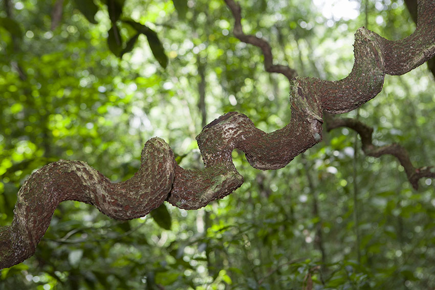
The branch around which this liana grew has since long died
and rotten away.
Los Haitises National Park, northern Dominican Republic,
Hispaniola.
View of the dense canopy of the humid karstic forest. Florida, central Puerto Rico.
El Yunque de Baracoa, an isolated limestone plateau in eastern Cuba.
(Photograph
courtesy
of Dr. David Ortiz Martinez).
Hoyo de Morlotte, a sinkhole in the Desembarco del Granma
National Park, south-eastern Cuba.
(Photograph courtesy of Dr. Julio Genaro).
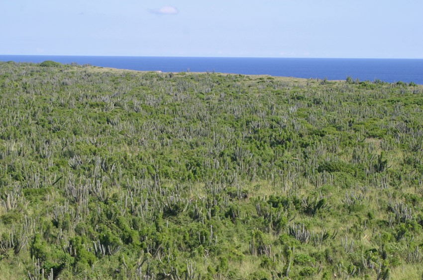
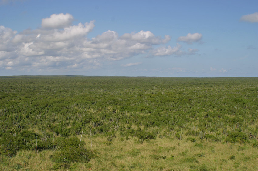
On the other hand, there are xeric karstic forests, also. Because of the aforementioned porous structure of limestone, xeric forests and grasslands that grow on a limestone base in arid regions tend to be the driest among the dry. In some areas, forest gives way altogether to grassland.
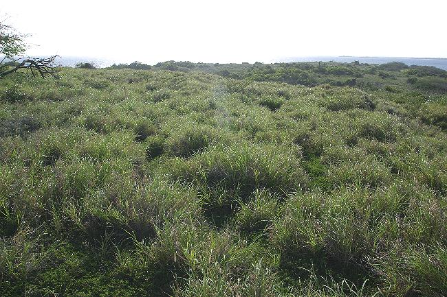
Coastal grassland. Cabo Rojo State Forest, south-western Puerto Rico.
Karstic xeric forest. Northern piedmont of the Bahoruco Mountains, south-western Dominican Republic, Hispaniola.
Karstic xeric forest. Pedernales, south-western Dominican Republic, Hispaniola.
View of the karstic xeric forests of the Hellshire Hills and
Manatee Bay, south-eastern Jamaica.
(Photograph courtesy of Mr. Joseph Burgess).
Some of the Lesser Antilles have karstic areas, albeit these are of lesser extension than their counterparts in the Greater Antilles and the Bahamas.
In some regions of the Greater Antilles, the substrate is formed by a rock called "serpentinite". Its parent mineral, "serpentine" is usually bluish-green in color, soft, and highly porous, and its name derives from the wavy, snake-like color patterns noticeable at close range. It is a metamorphic igneous rock composed of magnesium silicates, together with cobalt, chromium, manganese, and nickel. It erodes into soils that are highly alkaline and very poor in nutrients. Moreover, its chemical composition is toxic to many plants. The combination of lack of nutrients, toxicity and dry soils makes life difficult for many plants, and so the vegetative associations growing in these areas have relatively few species. This flora has a high proportion of slow-growing species adapted to the toxic and arid conditions, and many of them are endemic to these areas. Serpentine soils in humid regions are responsible for a paradoxical situation: that of "dry rain forests". The apparent oxymoron is not such, in reality, since indeed it might rain a lot there, but the water percolates very quickly, so the wet, even swampy, conditions of typical rain forest soils are not found in these regions. An example of this type of vegetation is found in the Maricao and Susua state forests, on the western end of the central highlands of Puerto Rico, and in several regions in Cuba.
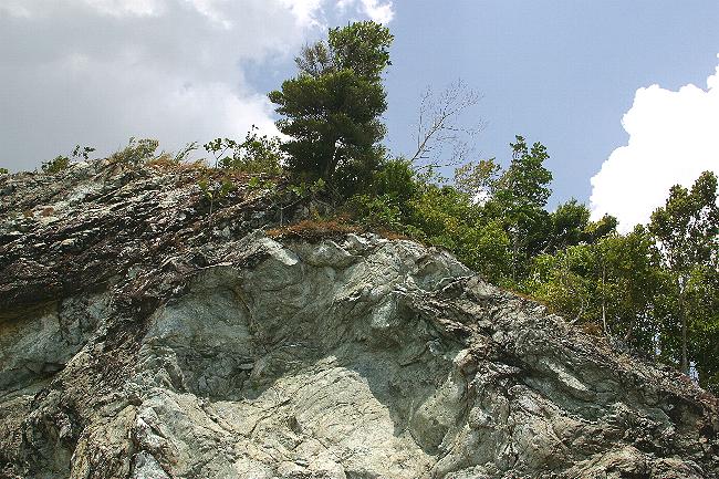
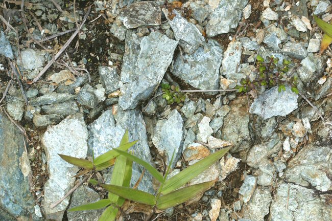
Serpentine is a blue-green (sometimes reddish or black) mineral superficially similar to marble and limestone. It forms the main substrate in some areas of the Greater Antilles.
Forests growing on it have a high level of endemism that compensates for their biotic poverty.
Maricao State Forest, western Puerto Rico.
![]()
This forest growing on a serpentine base represents a transition between xeric and montane rain forest.
Susua State Forest, south-western Puerto Rico.
View of the higher reaches of a montane tropical rain forest growing on serpentine soils. Maricao State Forest, western Puerto Rico.
Compare the almost scrubby vegetation of this region with those of more typical highland tropical rain forests shown elsewhere on this page.
Many of the plants growing on serpentine are adapted to dry conditions even when living in otherwise humid areas.
They often take the form of thorny, sclerophyllous trees and bushes, their leaves covered in wax to prevent water loss,
as is often the case with plants from xeric regions. Some trees have small leaves and flat crowns, resembling those of trees growing in savannas.
Maricao State Forest, western Puerto Rico.
Although soil types greatly determines what sort of vegetation will grow in a given area, there is one factor that weighs even more on this matter: water.
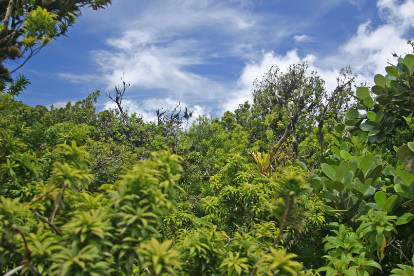
In the Antilles, where rainfall averages between 100 to 250 centimeters a year the lowlands of the Antilles are covered in tropical humid forests. These same associations are called "montane" humid forests if rainfall is still relatively low but the forests cover the slopes of mountain ranges to an altitude of about 500 meters.
Lowland humid forest. Creque Dam, north-western Saint Croix, United States Virgin Islands.
Montane humid forests cover the higher slopes of the Virgin Islands.
Sage Mountain National Park, west-central Tortola, British Virgin Islands.
Although
similar
to rain forests, humid forests like this one receive less
amount of rain, tend to be strongly seasonal,
(with marked dry and rainy seasons), and
are structurally simpler. Like their wetter counterparts they
are important reservoirs of biodiversity.
Montane humid forest. Near Eggleston, south-central Dominica, Lesser Antilles.
Montane wet forest. Gran Piedra National Park, Santiago de Cuba Province, south-eastern Cuba.
(Photograph
courtesy
of Dr. Richard C. West).
In a type of humid forest called "monsoon forest", some species of Tillansia bromeliads hang from the tree branches.
Puerto Escondido, south-western Dominican Republic, Hispaniola.
Montane humid forest. Cayey Mountains, east-central Puerto Rico.
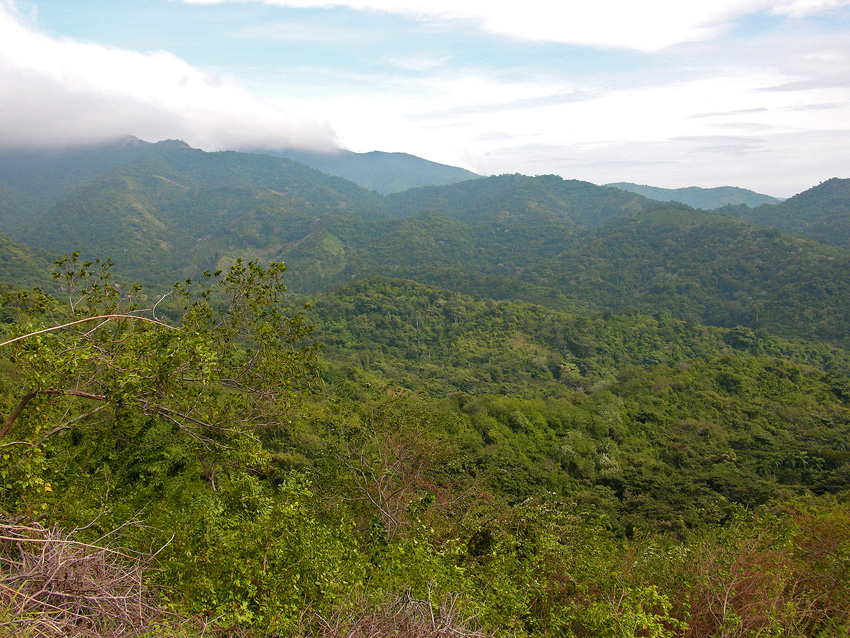
In West Indian regions where rainfall averages more than 250 centimeters in a year, tropical rain forests occur. It should be noted that, regarding "rain" (and "humid") forests in the Antilles, some authors consider them to be only "subtropical", since the average annual temperatures do not reach over 25 degres Celsius. Such authorities assign the characteristic of "tropicality" mostly to forests that experience hot continental climates, like those of South America close to the Equator. Whatever the case, the temperature differences between Neotropical continental and Antillean forests are quite small.
Tropical rain forests are a paradox: their soils are among the poorest on Earth, and yet sustain a breathtaking amount and variety of life forms. The reason for this is that 98% of such forests' biomass is found in the living vegetation. The soils, which to begin with are leached of minerals by the abundant rainfall, contain an array of decomposing organisms - fungi and bacteria - that quickly return available nutrients to the living plants. In a sense there is a correlation between tropical rain forests and tropical coral reefs. These last, most biodiverse marine ecosystems, are found in the midst of waters that are biological deserts, mostly devoid even of plankton. (Hence the alluring turquoise blue color of the waters that often surround these islands: there's little in the water to block the sunlight that bounces off the sandy bottoms).
Tropical forests have trees which are by far the largest in the region. Many species have enormous buttressed roots that anchor them firmly to the wet, thin soils of the forest. Towering giants, these trees are ecosystems all by themselves, offering substrate and shelter to many other species of plants and animals on their trunks, branches, and leaves.
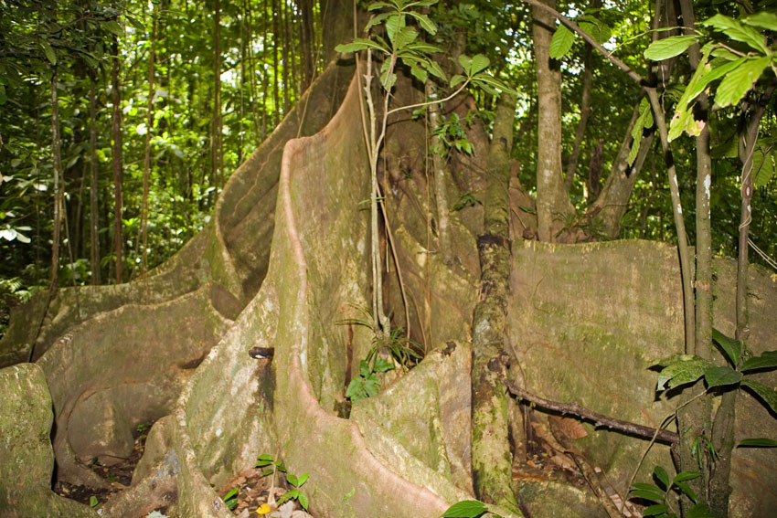
The buttressed roots of rain forest trees allow them to withstand the weight of the organism on the shallow soil.
Vermont nature Reserve, south-western Saint Vincent, Saint Vincent and the Grenadines, Lesser Antilles.
These forests contain extremes in size among animals. In general terms, the largest and smallest insects, millipedes, centipedes, snails, freshwater fish, amphibians, reptiles, birds, and mammals are found in them.
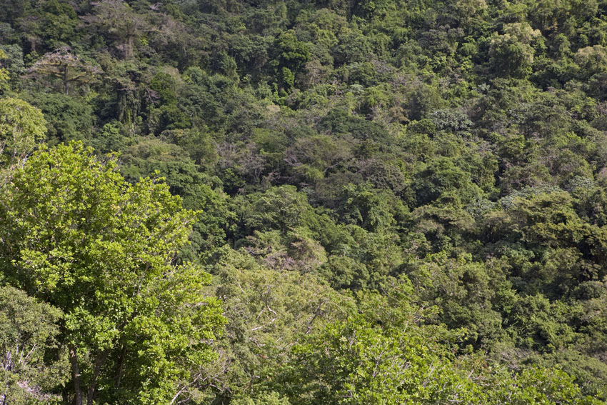
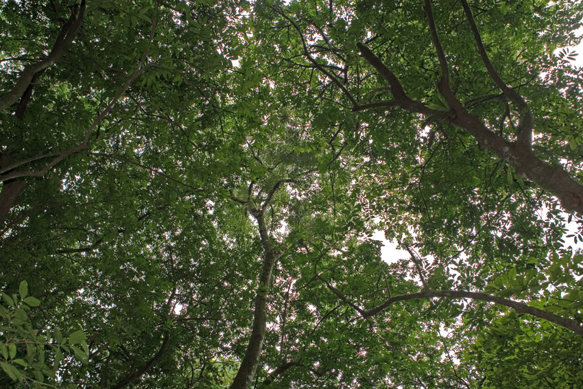
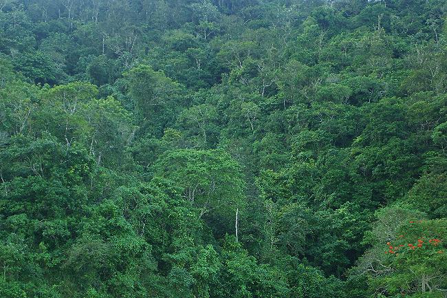
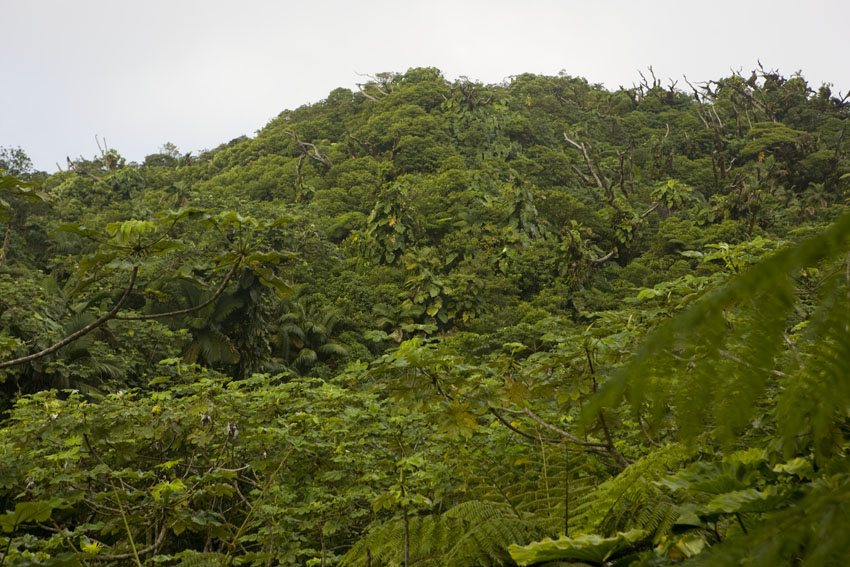
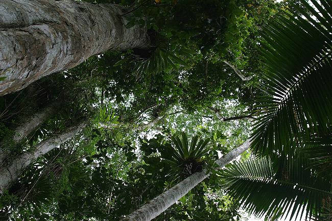
Lowland tropical rain forests, in particular, are the most complex ecosystems on Earth. They are rivaled in their biodiversity only by the largest living structures on planet Earth: coral reefs, which are also present in the Caribbean Sea, as well as in the Atlantic and Indo-Pacific oceans. It is now believed that most of the animal species in tropical rain forests (indeed, perhaps most species on Earth) inhabit their canopies, spending their entire lives between 20 and 60 meters above the ground. By far, most of these organisms are never seen by the casual visitor to these staggering pinnacles of life-form diversity.
In spite of a common misconception to the contrary, rain forests are seldom full of flowers at any given time, at least not at a person's eye level. Trees and other plants do bloom, sometimes spectacularly en masse, but since most of the flowers are in the canopy (ideal for being noticed by passing birds and insects) we humans seldom see them up close. For us, the overwhelming sensation is that of green.
Flowers of Tabebuia heterophylla. Carolina, north-eastern Puerto Rico.
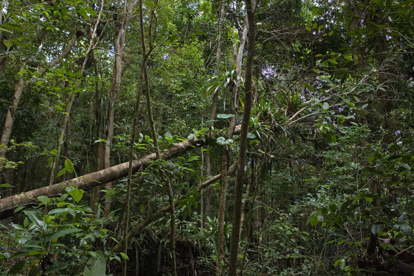
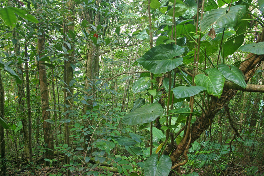
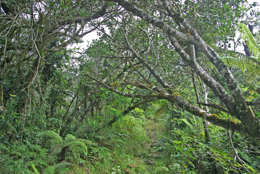
Another mistaken belief regarding rain forests is that they are impenetrable jungles. People walking along a trail or navigating through a rain forest river will often be confronted on each side by a seemingly solid wall of trees, saplings, and lianas. This is so because the higher amounts of sunlight in such open areas allows for a profusion of plant life to grow at a man's eye level. The same thing occurs when a fallen tree or man-made clearing creates a gap in the forest's canopy. Actually, virgin lowland rain forests are spacious affairs, easy to walk through, for the canopy allows very little direct sunlight to reach the ground, which in turn only permits the growth of a sparse layer of small herbs adapted to low levels of light.
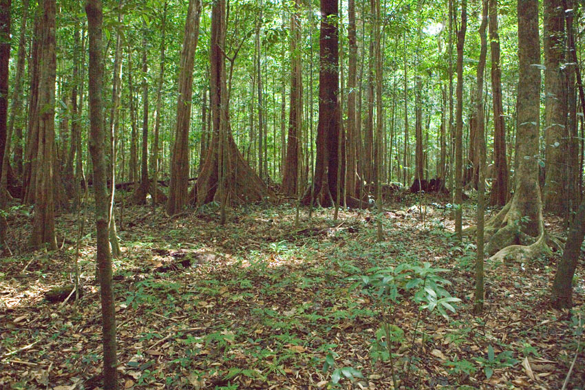
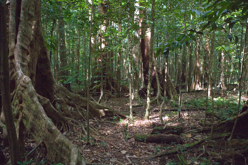
The canopies of lowland rain forests are dense and look impenetrable.
However, their ground levels are mostly open and free of obstacles other than boles themselves.
The low levels of sunlight that reach them do not allow much vegetation to grow. One walks rather easily among the enormous pillars that are the tree trunks.
First photograph, near Morne Anglais, southern Dominica.
Next three photographs: Northern Forest Reserve, Dominica, Lesser Antilles.

When a tree falls in the rain forest, the temporary influx of sunlight that reaches the
floor cause seedlings that have remained dormant, sometimes for years, to sprout.
The gap is quickly filled with shrubbery, until only one individual becomes a tree that takes the place of the fallen giant.
The frequent rains falling on the montane rain forests of the Caribbean often cause landslides.
These areas are soon colonized by pioneer organisms that cannot survive well under the canopy.
El Yunque National Forest, north-eastern Puerto Rico.
The leaf litter covering the ground in a rain forest is usually quite thin.
The high temperatures and humidity allow for a plethora of fungi, bacteria,
mites, and nematodes to make quick work of all available dead organic matter.
El Yunque National Forest, north-eastern Puerto Rico.
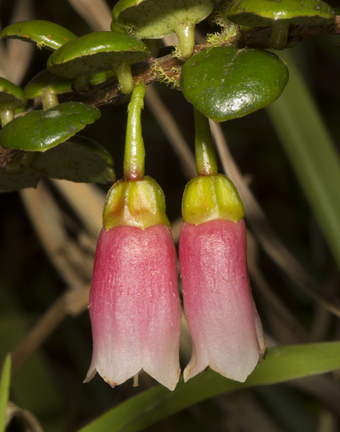
First photograph: Gonocalyx concolor. Carite State Forest, east-central Puerto Rico.
Second photograph: Vaccinium racemosum. El Yunque National Forest, north-eastern Puerto Rico.
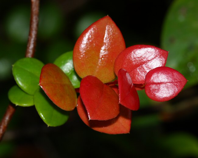
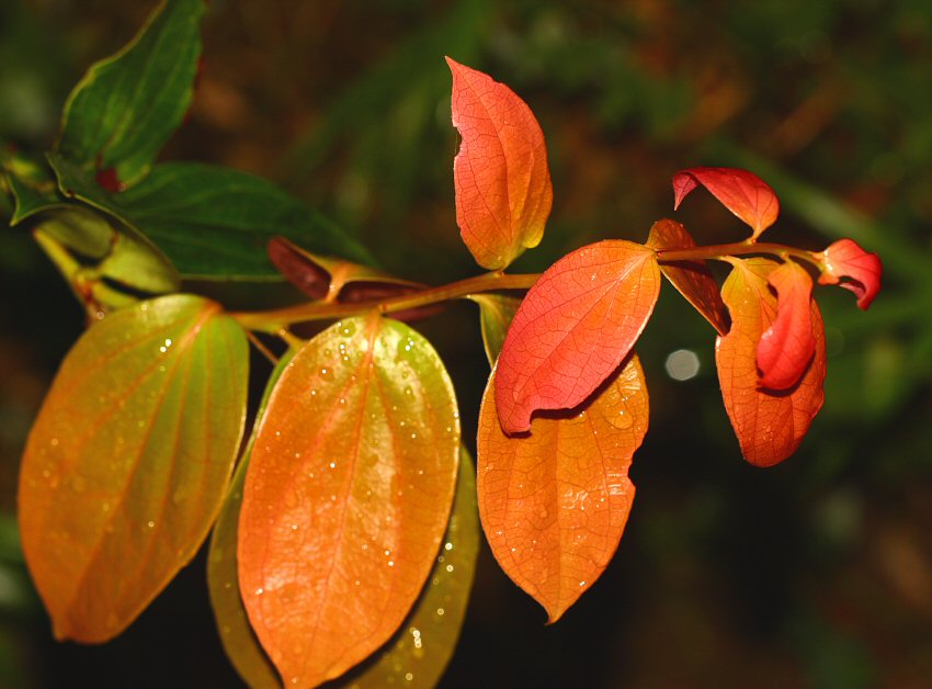
Many plants of mesic forests produce new leaves in groups, often colored different from mature leaves.
New shoot are avidly sought after by many herbivore animals, but since there are more leaves than they
can consume, some will always survive predation.
Lowland tropical rain forests are
rather clearly layered into three vertical strata of understory
shrubbery, and mid- and high-level tree crowns (the highest
being the canopy proper). The emergent layer, composed of the
tallest trees that rise above the canopy, and with is commonly
noticd in continental tropical forests, is basically nonexistent
in the Caribbean islands. This is due to the fact that
hurricanes do not allow this layer to even exist in this region.
Such trees would be the first to succumb to the force of the
raging winds of these storms.
Specific sets of animals occupy niches in each different forest level, each adapted to the conditions that pervade in their prefered structural layer.
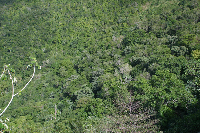
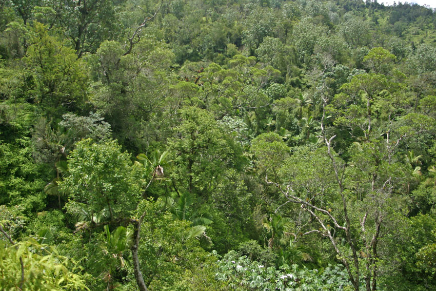
Lowland tropical rain forests. Morne Trois Pitons National Park, south-central Dominica, Lesser Antilles.
Lowland tropical rain forest. Near Eggleston Dominica, Lesser Antilles.
Interestingly, the lowland tropical rain forests in different biogeographic regions on Earth have their own peculiar characteristics each. In general, those of eastern Asia contain very high populations of dipterocarp trees, among the tallest in the World. Walking through them gives one the sensation of strolling through an immense cathedral, the boles of the trees being the pillars that sustain the far-above ceiling that is the canopy. Also in these Asian forests, one finds an unusually high number of mammals, lizards, snakes, and frogs that are adapted to move from tree to tree by gliding with the use of membranes or other bodily adaptations. Such ability comes especially handy when moving about in these tallest of rain forests. In Africa's forests, lianas abound like nowhere else on Earth - a fact that apparently did not escape the creators of Tarzan movies. In turn, the Neotropical rain forests are especially rich in palm trees and monkeys, lizards, and snakes with prehensile tails. Why some such traits are more common in some rain forests and not others is something that nobody knows.
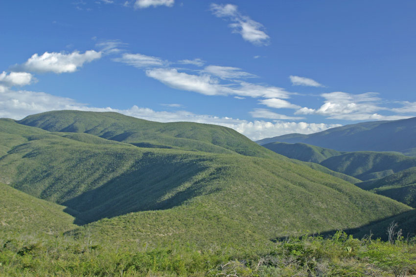
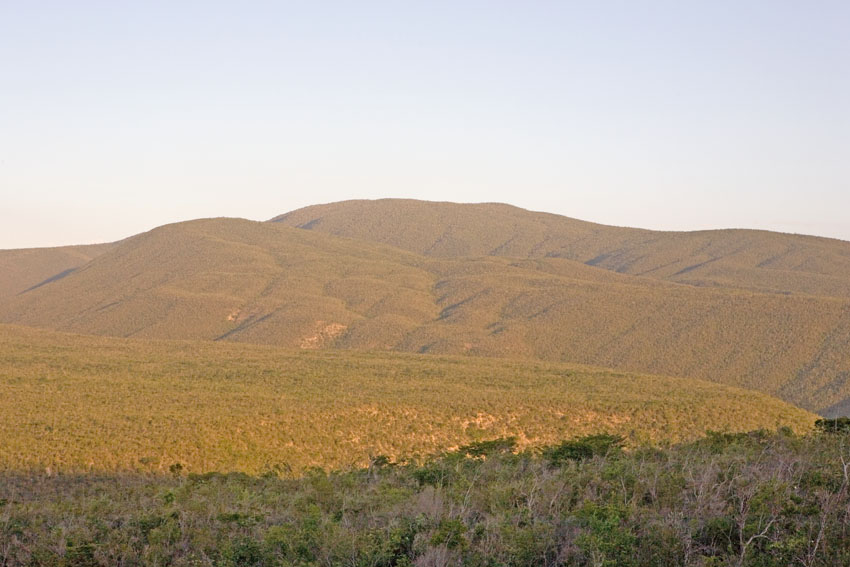
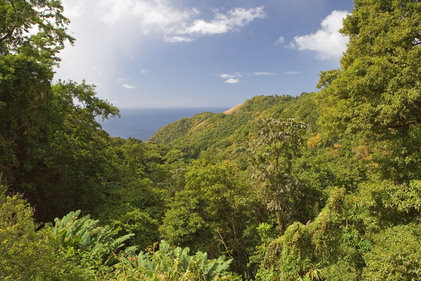
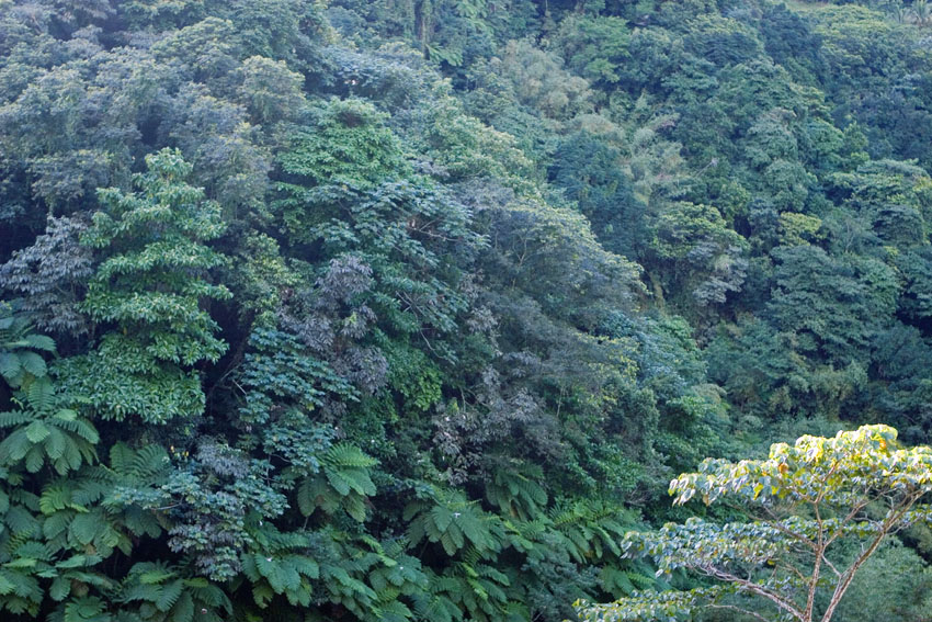
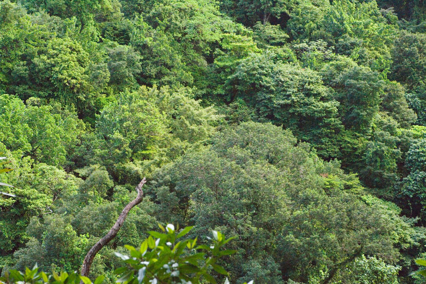
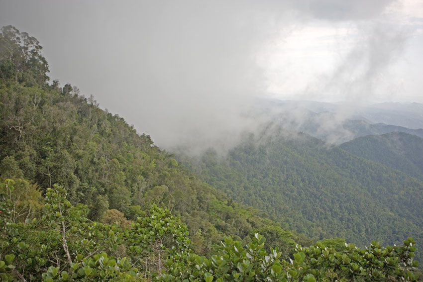
Higher up on the mountains' slopes, above the average vapor condensation altitudinal limit (which at this latitude is between 500 and 600 meters above sea level) are the montane tropical rain forests. These are somewhat cooler and more humid than their lowland counterparts. Their biodiversity is very high, as well, often with a wealth of endemic species. Unlike lowland rain forests, however, they are basically divided into two strata, namely understory and canopy. Emergent trees are still common in this kind of forest.
View of a montane tropical rain forest. Guilarte State Forest, west-central Puerto Rico.
Morne Anglais and its surrounding valleys, covered in
montane tropical rain forests. Southern Dominica, Lesser
Antilles.
Montane tropical rain forest. Mount Scenery, central Saba,
Lesser Antilles.
Emergent tree in the montane tropical rain forest. Cayey Mountains, east-central Puerto Rico.
Montane tropical rain forest. Blue and John Crow Mountains National Park, east-central Jamaica.
High above ground, the canopy of the montane rain forest allows little light to reach the floor.
The space under the mosaic of tree crowns is a humid, somber, perpetual twilight.
Above the tree tops temperatures soar and the ambient humidity might be quite low, at times.
Carite State Forest, east-central Puerto Rico.
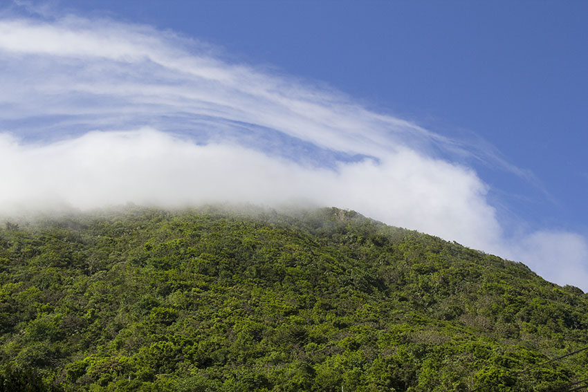
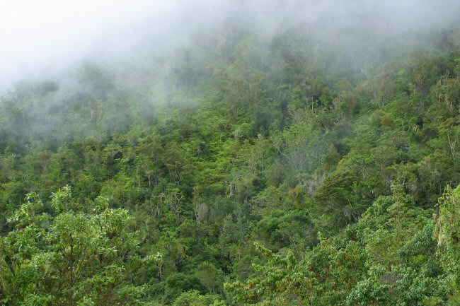
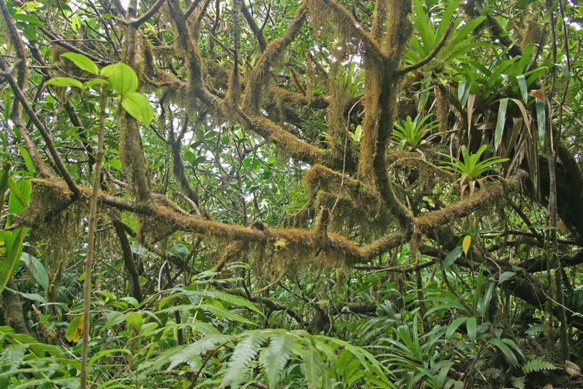
Continuing our ascend up the mountain ranges, we find the montane dwarf forests. These grow on the highest, most exposed, and windiest ridges of the mountains. These Antillean forests are the simplest in their physical structure, with no verifiable stratification, ground shrubbery almost merging into the usually low canopy. Where high atmospheric humidity prevails, montane dwarf forests receive the name of "cloud forests". Here, trees are as little as two meters tall and are heavily covered with epiphytes (liverworts, mosses, bromeliads, orchids, ferns, etc.). These natural bonsais are stunted and gnarled by excessive humidity, wind, and low temperature and light levels due to the almost permanent cloud cover. Many of the trees and plants are heavily attacked by nematodes, fungi, and other microscopic organisms that thrive on the wet soils and live as parasites or predators of their roots, branches, and leaves. (In quite real a sense, and for all the previously mentioned reasons, a cloud forest is nothing but a group of perpetually sick trees). Given the same basic conditions, montane dwarf and cloud forests are almost circumtropical in their distribution, but those of the Antilles are unique in their structure and species composition.
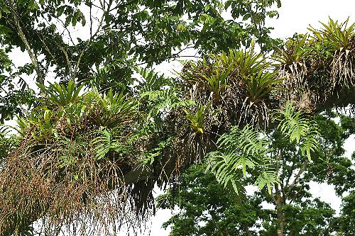
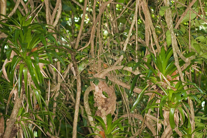
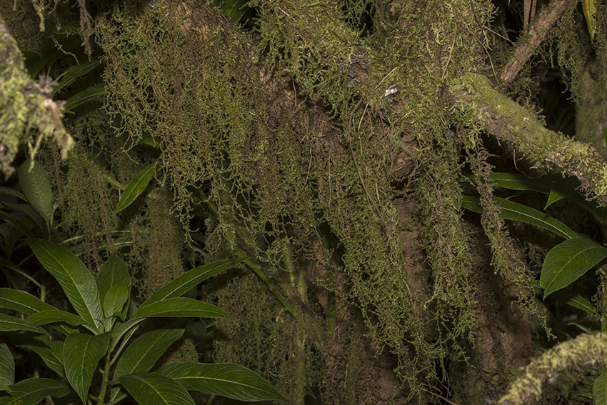
Highland rain and cloud forests are home to a complex array of epiphytic plants: those that live on other plants, especially on trees. Mosses, liverworts, orchids, and ferns are nowhere as abundant as in these areas. These organisms derive much of the humidity they need directly from the clouds that swirl over the forests. With each droplet of moisture that condenses on them, they also gain a speck of dust. Over thousands of years, this airborne soil accumulates in great quantities, adding slowly to the substrate on which the epiphytes live.
The weight of the mass of epiphytes growing on a single tree in a tropical rain forest can reach hundreds of kilograms. Some lichens, mosses and liverworts grow even on the leaves of their host plant. Although epiphytes are not parasites (since they do not derive their nutrients from the living tissue of the host) they occasionally damage the host trees by smothering them with their own volume and weight and by diminishing the amount of light that reaches their leaves. The symbiotic relationship between the host tree and its epiphytes is one of "comensalism". In such case one party, here the epiphyte, derives all the benefits (especially higher levels of sunlight) while the other (the tree) derives none. However, some trees have developed an interesting way of tapping into the nutrients accumulated in the mass of epiphytes lying on them: the send small roots upward, directly from their branches, into the rich organic soil formed by years-worth of dust and dead and decaying epiphytes. In these "gardens in the air" live organisms, like certain earthworms, that are more normally found on or in the forest's floor, and which have now adapted to live perpetually far above it.
Some rain forest trees send aerial roots directly from their branches. These serve sometimes to
tap into nutrients accumulated by the many epiphytes growing on the trees themselves.
El Yunque National Forest, north-eastern Puerto Rico.
Several species of epiphytes growing on a tree branch. Neiba Mountains, south-central Dominican Republic.
Bromeliads, species undetermined, growing on a vine tangle. Vermont Nature Reserve, south-western Saint Vincent, Saint Vincent and the Grenadines, Lesser Antilles.
Epiphytes on epiphytes: lichens covering the leaves of a Gonocalyx portoricensis growing on a tree.
El Yunque National Forest, north-eastern Puerto Rico.
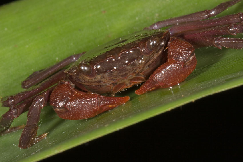
In the cloud forests of the Antilles the atmospheric humidity is so high, that much of the microfauna that lives among the epiphytes are more typical of a pond or stream. Hence, upon close examination one can find aquatic rotifers, leeches, nematodes, mosquito larvae, and other such organisms. Jamaica even has a species of sesarmid crab (Metopaulias depressus) that lives and breeds in epiphytic bromeliads.
In the rain forests of the Caribbean, many animals that at other latitudes are usually found at ground level have taken to a life in the trees.
The high precipitation and humidity of cloud forests allow water to collect in plants like bromeliads and arboreal mosses.
In turn, many kinds of animals find in them places to live and breed.
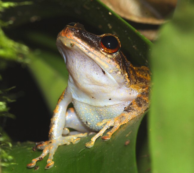
First photograph: female common Puerto Rican frog, Eleutherodactylus coqui. Carite State Forest, east-central Puerto Rico.
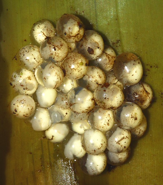
Second photograph: rain frog's eggs (Eleutherodactylus coqui). El Yunque National Forest, north-eastern Puerto Rico.
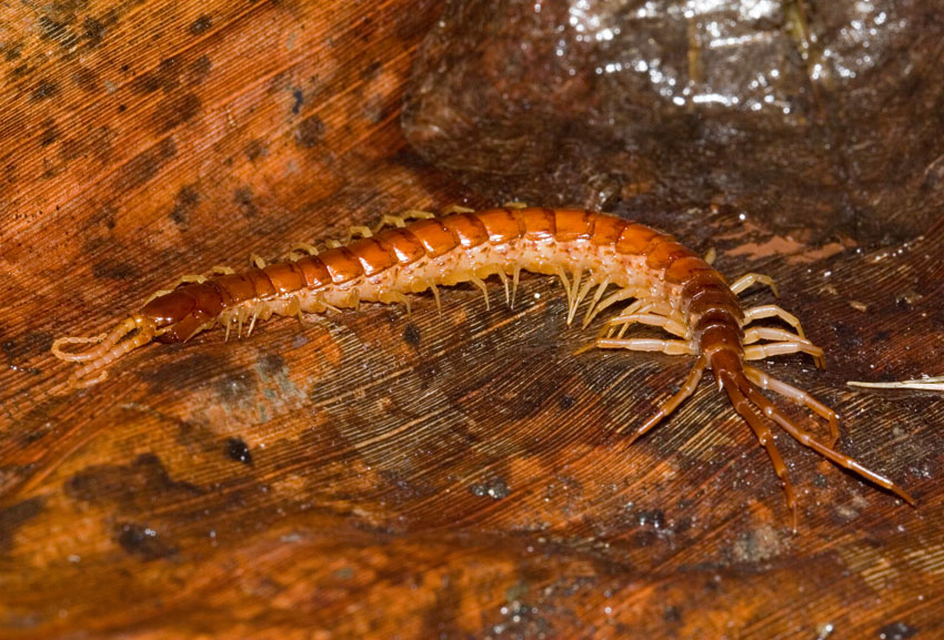
Third photograph: scolopendromorph centipede, Scolopocryptops sp. El Yunque National Forest, north-eastern Puerto Rico.
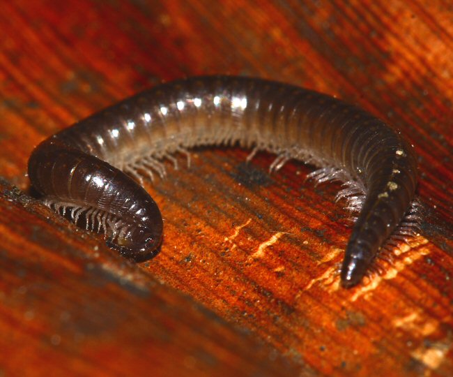
Fourth photograph: stemmiulid millipede (Prostemmiulus sp.). El Yunque National Forest, north-eastern Puerto Rico.
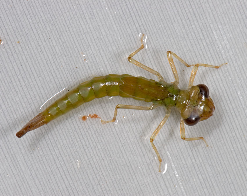
Fifth photograph: damselfly nymph, Diceratobasis macrogaster. Barbecue Bottom, north-central Jamaica.
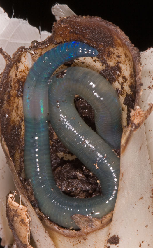
Sixth photograph: arboreal earthworm, species undetermined. Barbecue Bottom, north-central Jamaica.
Seventh photograph: arboreal crab, Metopaulias depressus, female. Barbecue Bottom, north-central Jamaica.
Because so much water collects in cloud forests, both as rain and as direct condensation upon the vegetation, they act like sponges. Sucking moisture from the atmosphere, this later finds its way down the mountains, supplying the surrounding lowlands and their rivers with water and nutrients, these last derived from rotting plants. Walking on the ground of a cloud forest often resembles doing the same on a bog. In fact the soils are so wet that they are basically swamps.
Sphagnum sp. These mosses, typical of swamps in temperate latitudes, cover much of the water-lodged soils of Antillean cloud forests.
El Yunque National Forest, north-eastern Puerto Rico.
Cloud forest. Maricao State Forest, western Puerto Rico.
View of a cloud
forest (on a relatively clear day).
Ebano Verde Nature Reserve, Central Mountain Range, Dominican republic, Hispaniola.
View of the
interior of a cloud forest (in transition to elfin woods).
Slopes of Morne Diablotin, Northern Forest Reserve,
Dominica, Lesser Antilles.
Notice the mosses and other epiphytes hanging from the branches of trees. Frequently, this kind of forest will have
a dense undergrowth, as can be seen here. The trees are too gnarled and twisted to be able to form a continuous canopy,
thus permitting smaller plants to use more of the little sunlight that the clouds allow to reach the forest's floor.
The soils of cloud forests
are so wet, most of the time, that the forests themselves are
actually a sort of highland swamps.
A view of the canopy of the same forest pictured above.
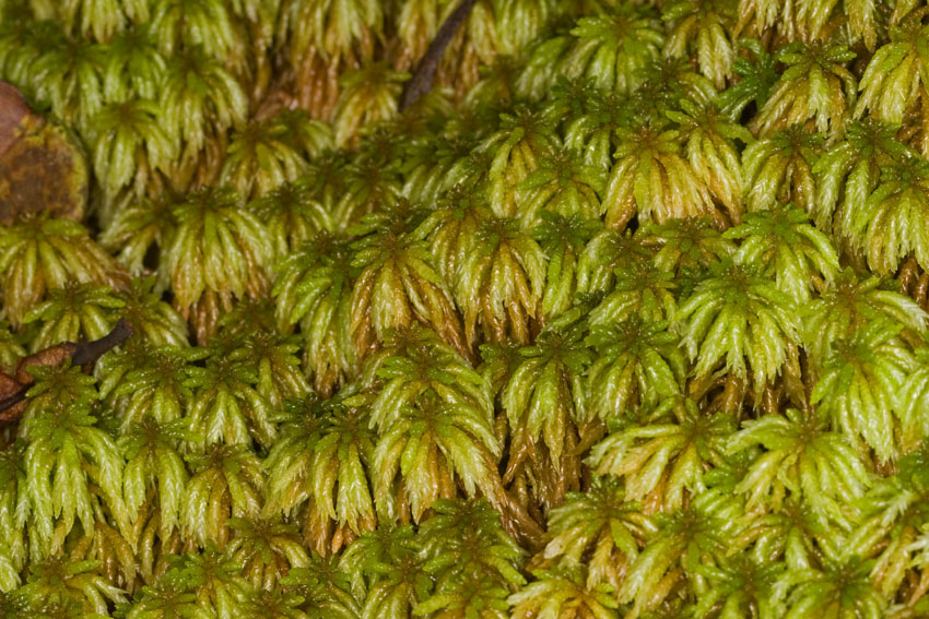
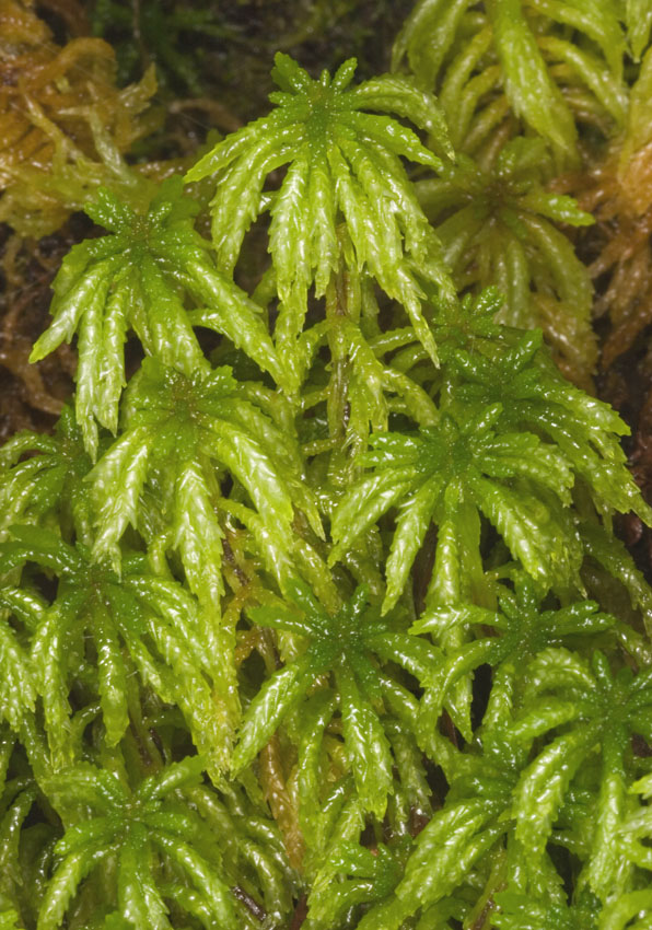
Mosses clinging to the roots of a trees in the cloud
forests.
First photograph:
slopes of Morne Diablotin, Northern Forest Reserve,
Dominica, Lesser Antilles.
Second photograph: El Yunque National Forest, north-eastern
Puerto Rico.
Elfin woods. El Yunque National Forest, north-eastern
Puerto Rico.
View of the interior of a cloud forest. El Yunque National Forest, north-eastern Puerto Rico.
Elfin woods on the ridges of Morne Diablotin. Northern Forest Reserve, Dominica, Lesser Antilles.
Wind seems to be the main factor in the formation of dwarf forests, at least in some areas of the West Indies. Often, the peaks need not reach very high altitudes above sea level - as long as the winds are strong and almost constant - for this vegetative association to exist on them. As an example, the summit of Mount Sage, in Tortola, British Virgin Islands, at a mere 570 meters above sea level, is covered by a dwarf forest whose canopy is much lower than that of the parallel ecosystem found on the peaks of the central mountain range of Puerto Rico, an island lying on the same bank and at the same latitude. In this last geological formation, summits attain far higher altitudes than any found in the Virgin Islands, yet they experience much less wind, on the average. The reason for that lies in that the very size of the mountain massif creates a turbulence in the prevalent trade winds that reduces their speed. Mount Sage, on the other hand, is a solitary mountain which higher reaches constantly receive the full impact of the wind, be it under the form of a strong breeze, or of a hurricane.
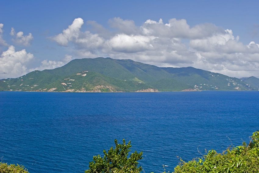
View of the island of Tortola, from Saint John. Highest of the Virgin Islands, its Mount Sage provides precious habitat
for some organisms not found anywhere else in the Puerto Rican insular bank, save for Puerto Rico itself.
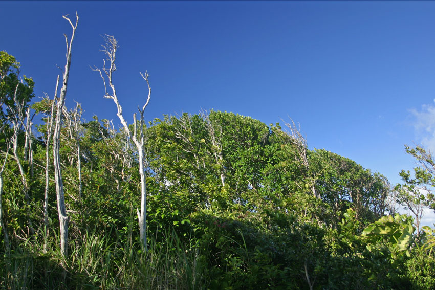
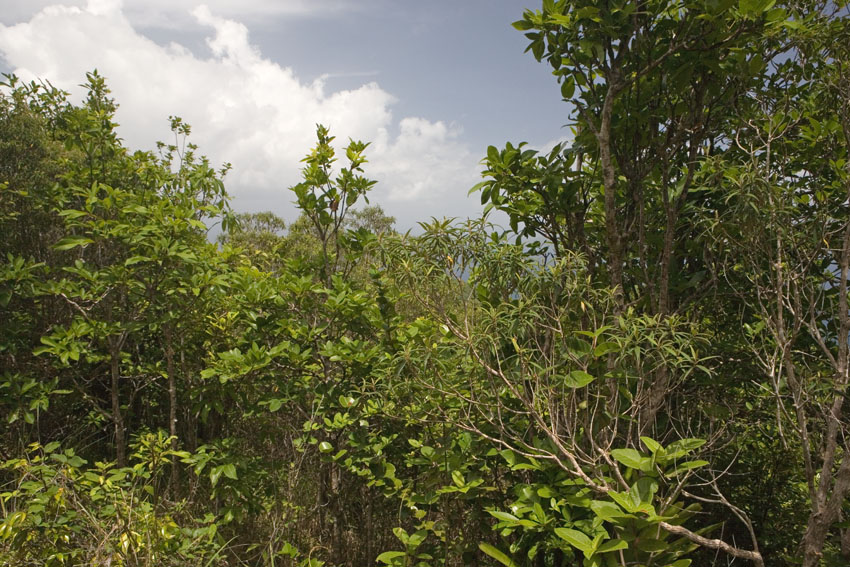
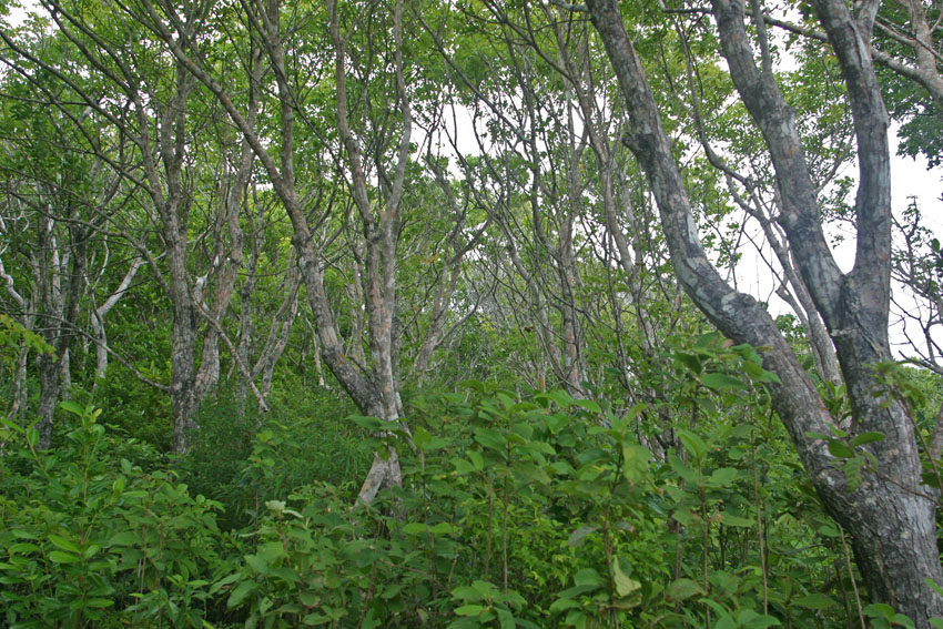
Montane dwarf forest. Mount
Sage, Sage Mountain National Park, west-central Tortola,
British Virgin Islands.
Much of the vegetation
shown here is composed of mature trees, between one to three
meters tall.
This forest is truly unique
among those of the Virgin Islands. Tortola's altitude is
only marginally greater than those of
the next higher Virgin
Islands, Saint Thomas and Virgin Gorda. However, such small
difference is enough to provide a habitat for
organisms whose closest
relatives are not found in the other two, but 100 kilometers
to the west, in the highlands of Puerto Rico.
Notice the wind-cropped vegetation
on an exposed ridge, in the photograph above.
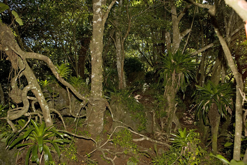
Montane dwarf forest. The Quill National Park, Saint
Eustatius, Lesser Antilles.
Because of their cool nocturnal temperatures (especially during the northern winter, when temperatures may occasionally drop below the freezing point in the highest mountains) Antillean montane dwarf and cloud forests do not have a flora and fauna as varied as those of the lowlands. However, since mountain ranges are climatologically - and, hence, biogeographically - islands within islands, they tend to be centers of endemism, with animals and plants often related to, but different from, those of the warmer lowlands. In other words, in them there might be less absolute variety, but there is a higher prevalence of endemics (exactly the same relationship that islands in general have toward continents: fewer species, but these tend to be all the more peculiar to their islands).
Fog swirling around moss-covered branches; water dripping from liverworts and leaves; fireflies and bats flying about; owls staring at you from the trees; the sounds of billions of insects and frogs: all those together make a nocturnal hike through the cloud forests of the West Indian highlands an eerie, beautiful experience. I highly recommend it. Little wonder some also call these regions of gnarled trees the "elfin woodlands". Let your mind wander and you will see them, too...
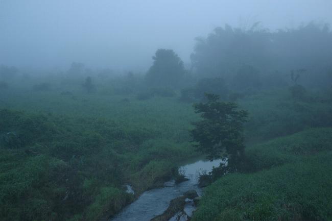
At night and in the early morning, dense fog frequently covers the high montane valleys of the Antilles.
Cayey, east-central Puerto Rico.
Seen from the air, humid and rain forests resemble a green carpet, broken here and there by emergent trees or by gaps wherever old, sick trees have fallen. Many of the insular endemic animals live in them, and on them they depend for their survival.
In some of the highest summits of West Indian mountain ranges trees give way altogether to grass. This happens especially where the wet soils are too acidic for many trees to survive, or where hurricanes have killed large number of trees. In some of the Lesser Antilles, periodic volcanic eruptions, accompanied by the same conditions that create dwarf forests in more stable terrain, prevent slow-growing, woody vegetation from taking hold in the higher slopes. In all such places, montane grasslands and bogs cover the ground.
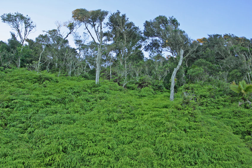
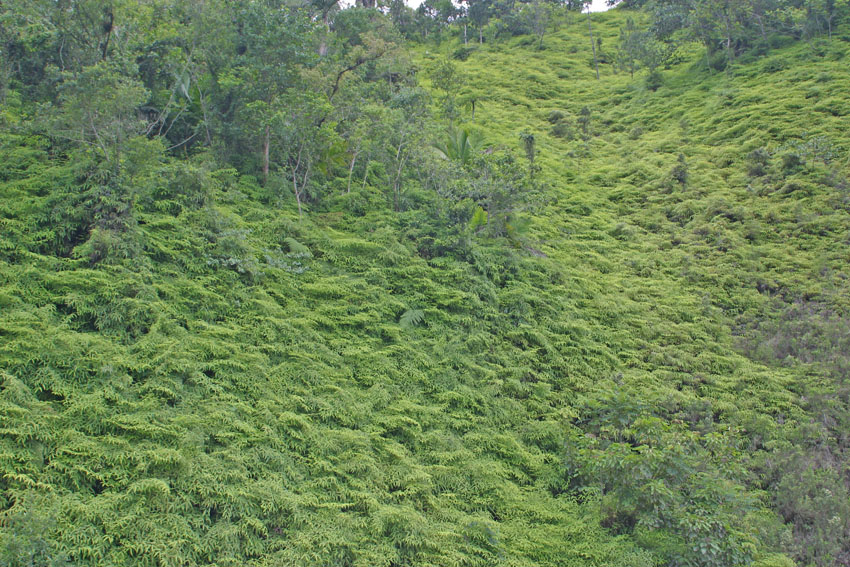
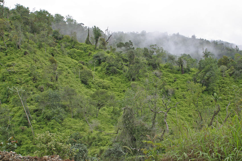
Sub-alpine fern meadows are found near the summits of the
Greater Antillean mountains.
These are often dominated by ferns like Dricanopteris pectinata and related species.
First
photograph:
Cayey Mountains, east-central Puerto Rico.
Next two photographs: Central Mountain Range of the Dominican
Republic, Hispaniola.
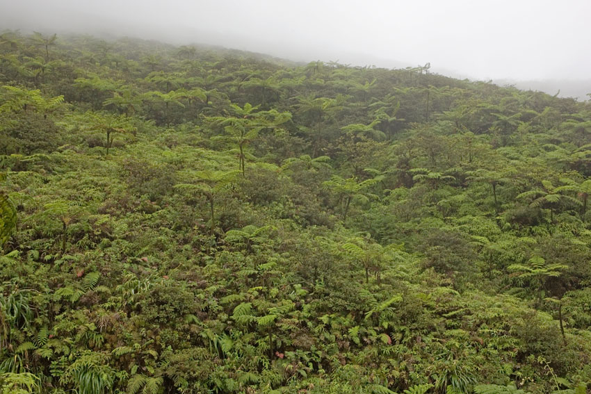
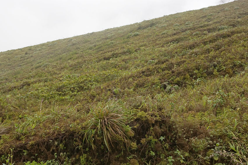
Sub-alpine ecosystem. Mount Soufriere, northern Saint Vincent, Saint Vincent and the Grenadines, Lesser Antilles.
Finally, in Cuba and Hispaniola, the highest mountain summits are often covered in temperate coniferous woods. Since pines are more adapted to cold temperatures in comparison with the more usual "tropical" vegetation of the region, and are better equipped to resist the conditions of alpine zones, these woods are generally taller than the montane cloud forests with which they merge in their lower reaches. In some areas, however, they are rendered rather open, especially where hurricanes have cut swaths in the vegetation.
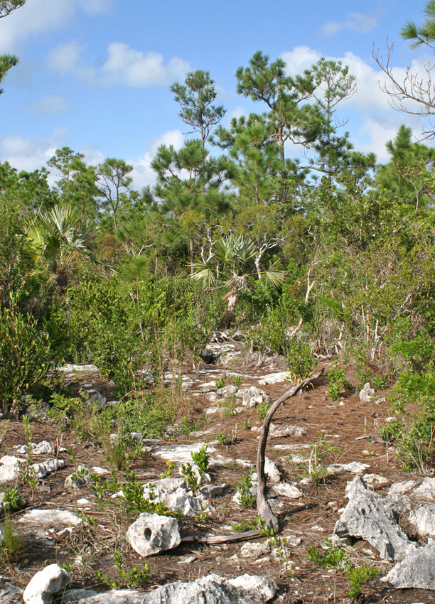
Pine barrens. Southern Andros Island. Bahamas.
(Photograph courtesy of Mr. Joseph Burgess).
Extensive
conifer woods exist in some areas of the more temperate Bahamas,
as well. However, true pines never colonized the Jamaican and
Puerto Rican insular banks, nor the Lesser Antilles. The
conifers and allies found in these other islands are cycads and
podocarps, and they never comprise the main elements of any
natural forests there.
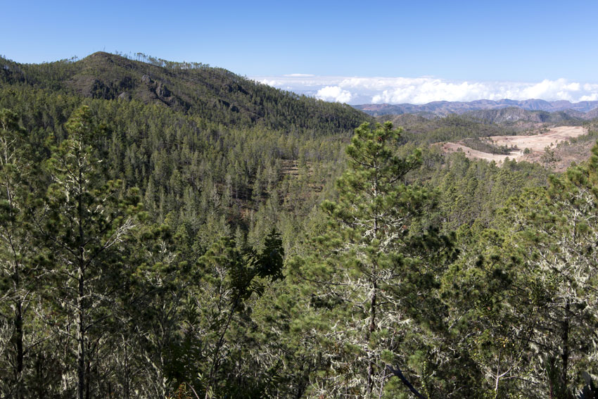
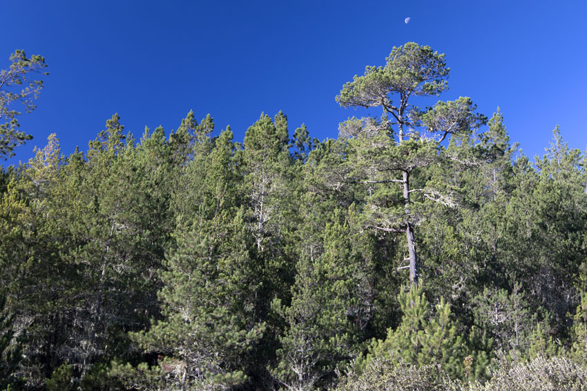
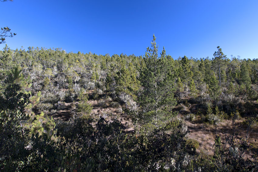
Due to the height of its mountains, Hispanoiola is the only Caribbean island with relict Neartic biomes.
Its tallest mountanious
ranges have extensive pinelands reminiscent of some on North
America, here dominated by Pinus occidentalis.
Valle Nuevo National Forest, central Dominican Republic,
Hispoaniola.
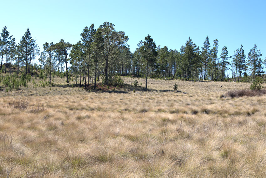
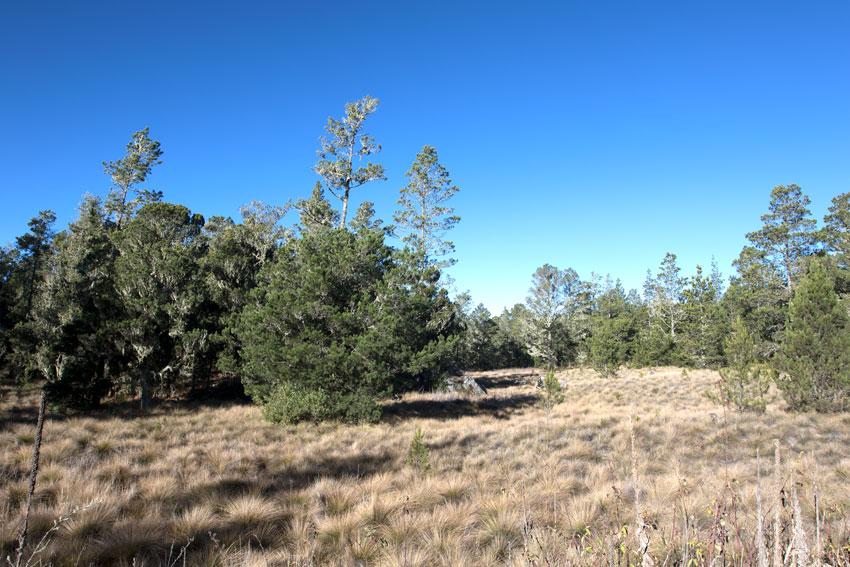
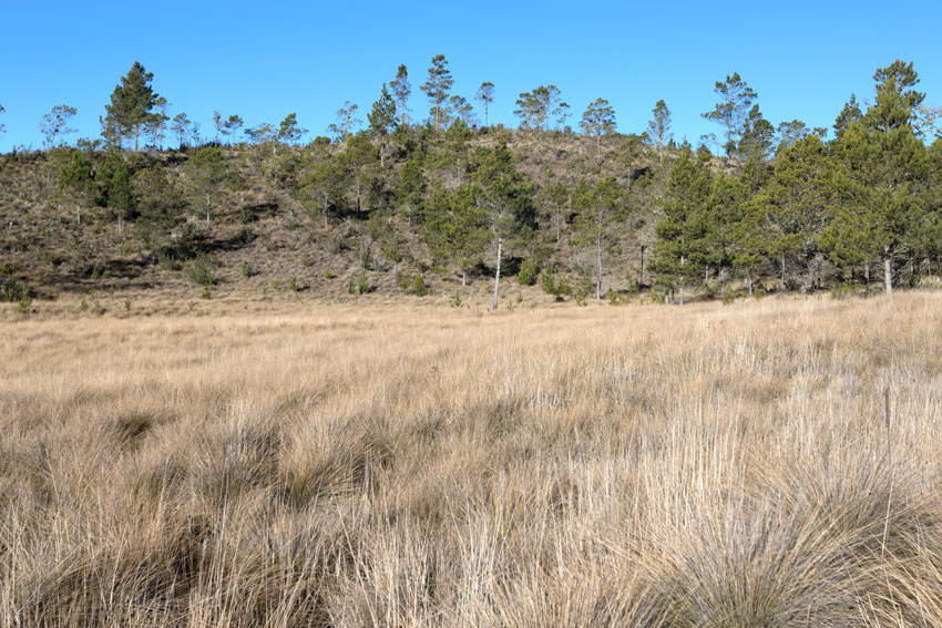
The valleys in the central
Dominican Republic were carved by glaciers that lasted until
about 11,000 ago.
They are now dominated by bogs and grasslands.
Of course, in most regions the gradation from one type of forest to another is usually very subtle: there is no clear line of separation that can be followed with the naked eye, even if the changes do sometimes occur within very short distances. For example, in the Luquillo Mountains of north-eastern Puerto Rico, four main types of forest cover the slopes, each one called by the name of its dominant tree species or physical characteristic. From the lowest to the highest elevation (roughly), these are: tabonuco forest (the only true tropical rain forest on these mountains, the other three being subtropical to almost temperate), palo colorado, sierra palm (or "palm brake"), and montane dwarf forests. As one observes the mountainscape from a vantage point at mid elevation, tabonuco and palo colorado forests gradate into each other at an altitude of about 600 meters, and with some difficulty can be told apart from a distance. However, one can see much more clearly where palo colorado and tabonuco forests suddenly change into sierra palm and, higher up, where this last gives way to dwarf forest.
As I said above, these are exceptions and most people are unable to tell the difference, for example, between a highland rain forest and a cloud forest.
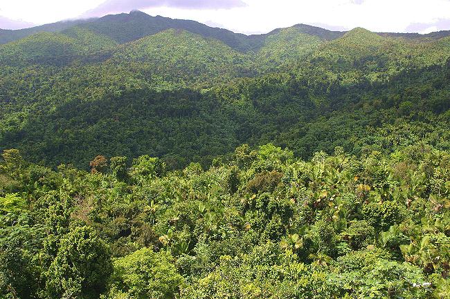
View
of tabonuco forest association. El Yunque National Forest,
northeastern Puerto Rico.
This is the true lowland tropical rain forest on that island.
The peaks and ridges in the distance are covered in palm brake
and montane dwarf forest.
At about 600 meters of altitude, tabonuco forest mingles with palo colorado forest.
The slopes and peaks in the distance are covered in palm brake and montane dwarf forests.
El Yunque National Forest, north-eastern Puerto Rico.
Palo colorado forest, seen here as the darker patches of the forest's canopy. El Yunque National Forest, north-eastern Puerto Rico.
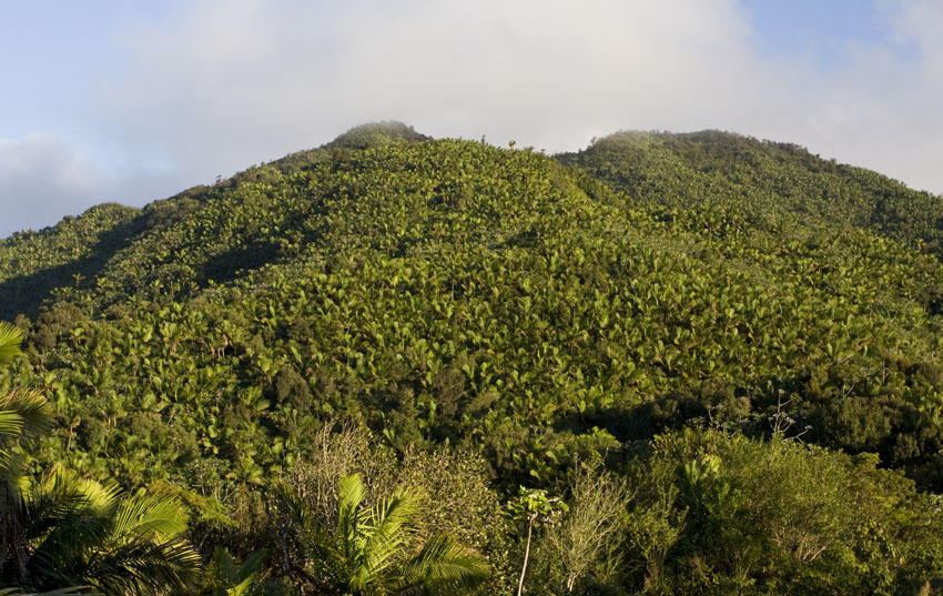
Palo colorado forest gives way to palm brake, or sierra palm forest, near the lower summits of the mountains in Puerto Rico.
El Yunque National Forest, north-eastern Puerto Rico.
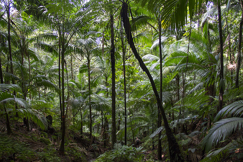
Palm brake. Mount Liamuiga, northern
Saint Christopher, Lesser Antilles.
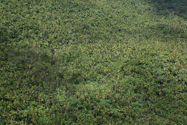
Seen from the air, sierra palm forest almost looks like a green carpet, an apparent monoculture composed of millions of palm trees.
The areas of darker vegetation are palo colorado forest.
El Yunque National Forest, north-eastern Puerto Rico.
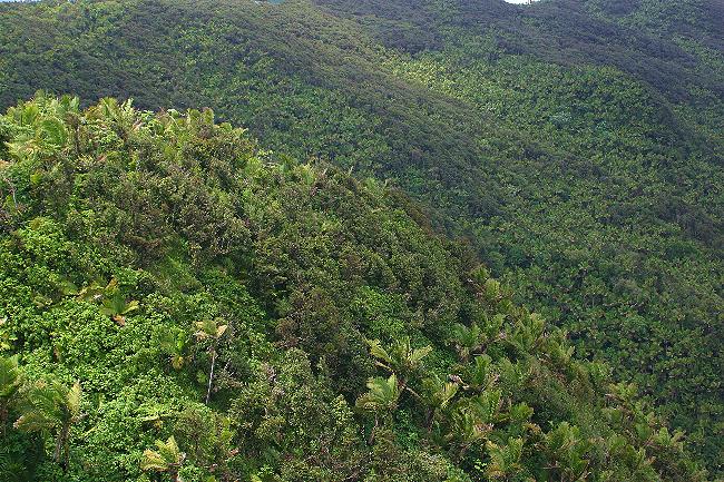
Near the highest mountain peaks and ridges of the Puerto Rican highland, palm break
gives way to montane dwarf forest, seen here as darker patches of vegetation among the palms.
El Yunque National Forest, north-eastern Puerto Rico.
Sometimes, however, the
gradation from one vegetative association into another occurs
literally within a few meters. The courses of rivers running
through arid regions can be noticed from great distances if one
looks at them from nearby hills, for along their margins a
vegetation grows that is much lusher than those on the
surrounding areas. This riverine, or "gallery", forests benefit
from the higher level of the water table close to the river and
might have plants and animals that, even in the middle of a
xeric (dry) plain, are typical of mesic (humid) or even hydric
(wet and rain) forests.
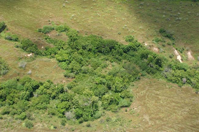
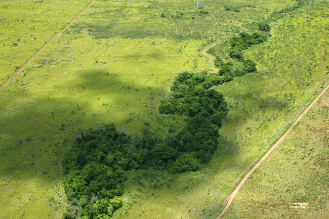
Riverine (or "gallery") forests are found along the margins of streams and rivers. Camp Santiago, south-eastern Puerto Rico.
Even as the surrounding lands might be xeric, these are
a sort of "micro rain forests" where many animals find refuge
from the surrounding areas.
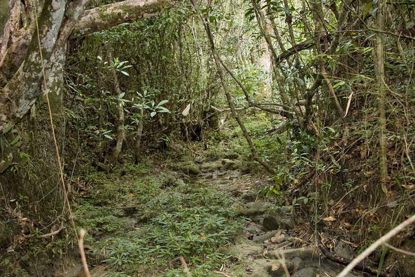
Gallery forest. Sierra del Rosario, western Cuba.
(Photograph courtesy of Mr. Joseph Burgess).
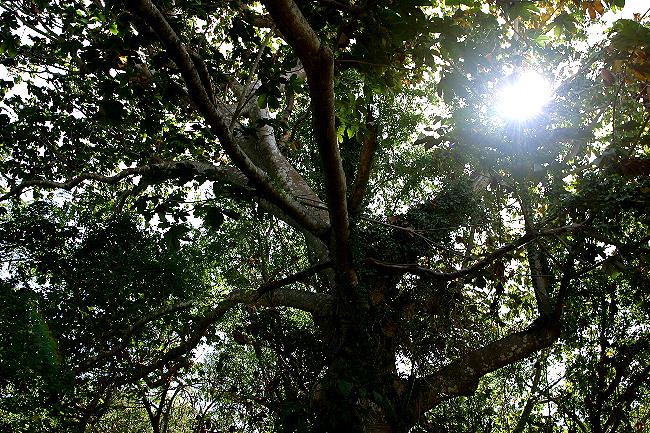
Inside the riverine forest. Camp Santiago, south-eastern Puerto Rico.
On certain West Indian regions, in the rain shadow of high mountain ranges, precipitation is scarce, averaging less than 100 centimeters per year. In these arid areas, xeric forests replace the mesic and hydric forests of the more humid windward lowlands and the mountains. Extensive thorny forests, scrublands, savannas and, in some places, deserts exist in the Greater Antilles. The Lesser Antilles also have areas of xeric forest, though such are more limited in extension, and are not as dry as their Greater Antillean counterparts.

The deserts of Hispaniola are among the driest regions in the West Indies. In the middle of the deserts of the Greater Antilles,
isolated mountain massifs like the Martín García range are climatologic and biogeographic islands.
Their
cool
and humid summits harbor relict populations of organisms
incapable of living in, or even crossing, the dry lowlands in
search of other mesic areas.
Thus, after countless generations of isolation, such
restricted populations often evolve into new species.
Azua Province, south-western Dominican Republic, Hispaniola.
Some small and low-lying islands can be very dry. Although lacking highlands of substantial elevation prevents them from condensing enough atmospheric humidity over themselves, their desert or semi-desert conditions arise not necessarily from receiving excessively low quantities of rain. Rather, their usually sandy and rocky substrate allows water to percolate very quickly. The strong tropical sun and almost constant breeze do the rest, quickly evaporating most of the remaining surface water. In the end, tiny islands like Marie Galant, Barbuda, Anegada, and many of the Bahamas may end up looking similar to the xeric areas of Cuba or Jamaica, but for rather different climatologic mechanisms: rain-shadow effect in the main Greater Antilles and the higher Lesser Antilles; low elevation, high heat, and wind desiccation in the others.
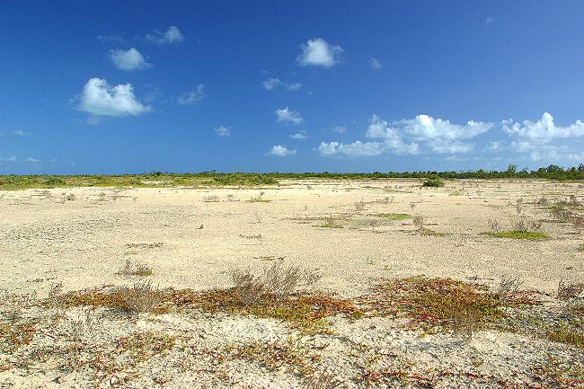
Small and flat islands like Anegada receive very little rain. They are deserts on a small scale.
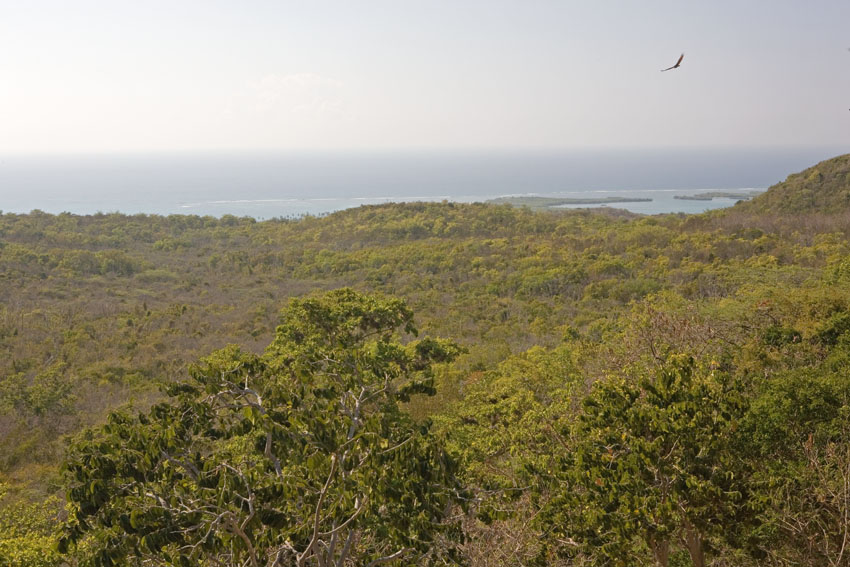
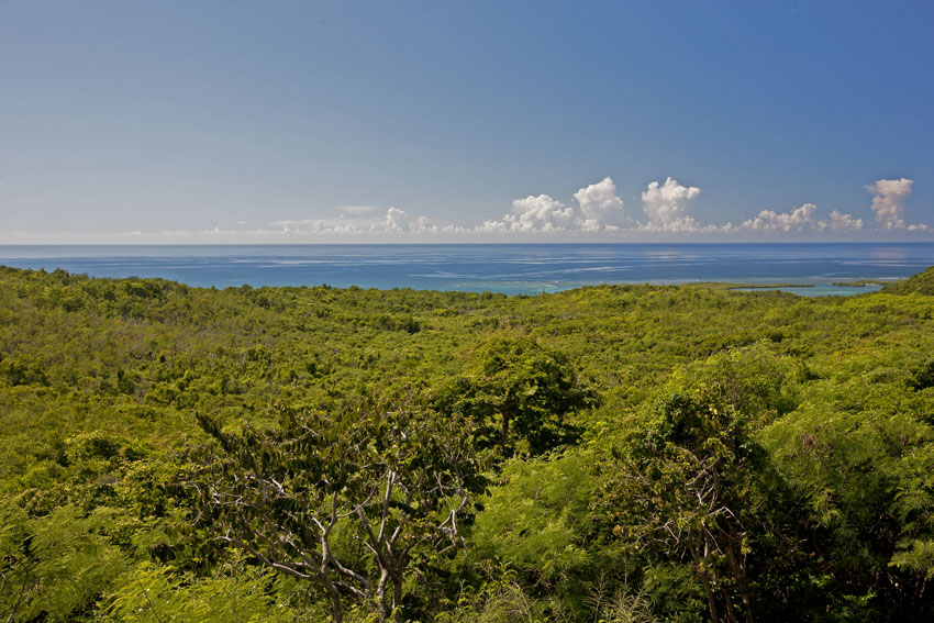
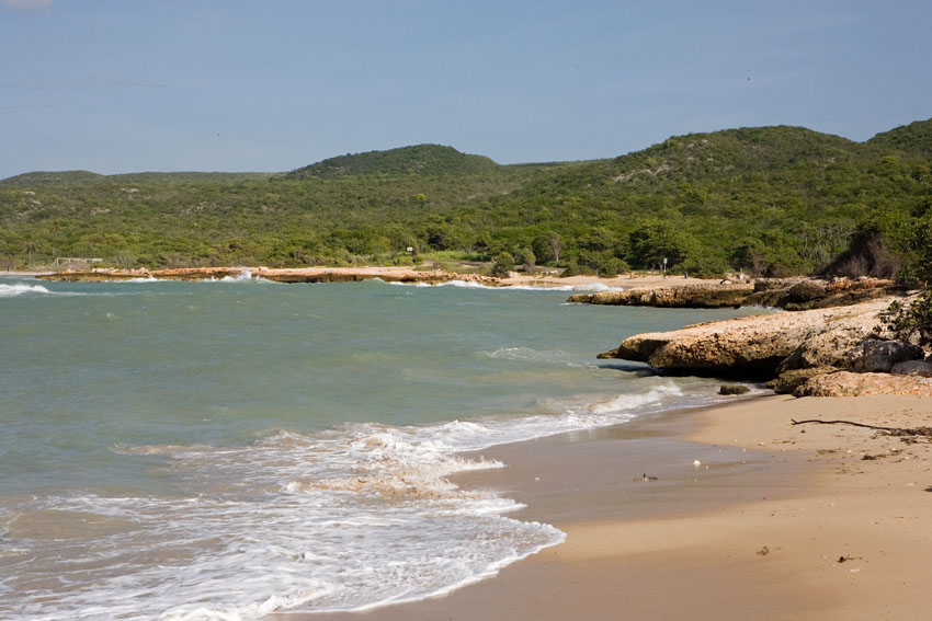
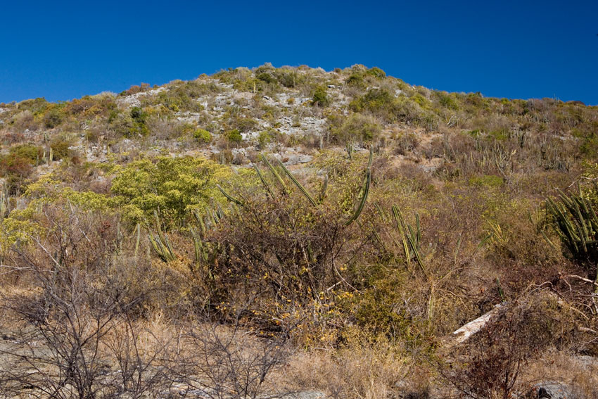
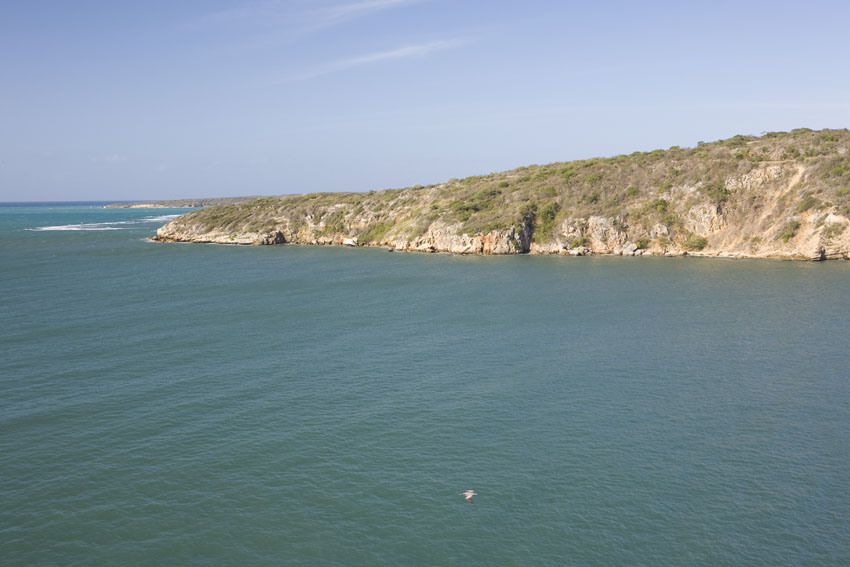
Coastal
xeric
forests. Guanica State Forest, south-western Puerto Rico.
The first two photographs show its change in appearance
between the dry and rainy seasons.
During very dry years, these ecosystems may be ravaged by fire.
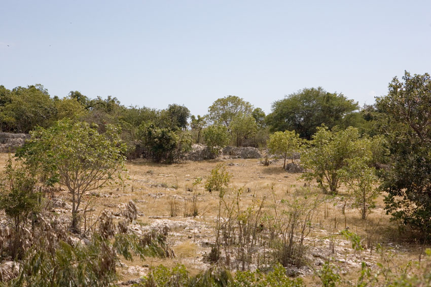
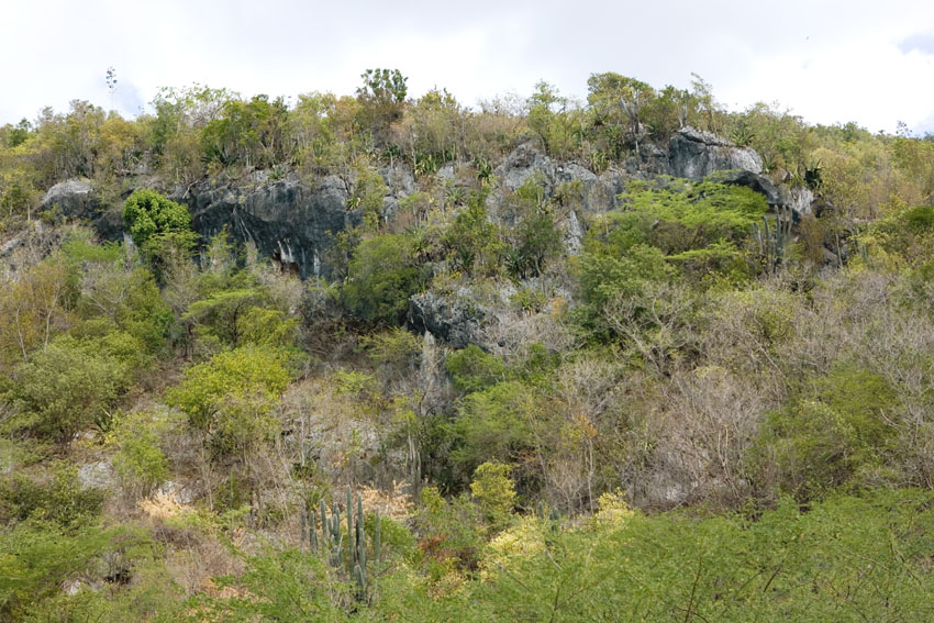
Structurally, coastal xeric forest all look the same from island to island.
First photograph: Treasure Beach, south-eastern Jamaica.
Second photograph: Alligator Pond, southern Jamaica.
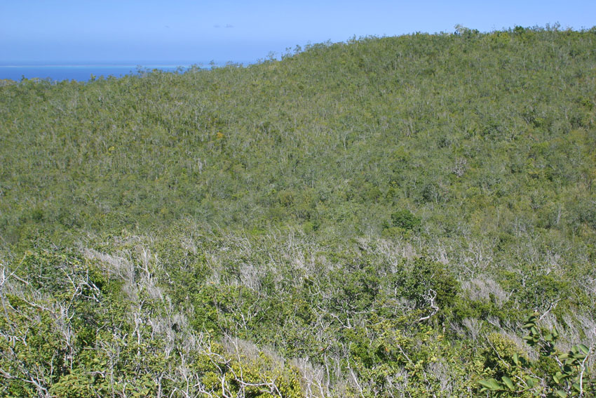
Highland xeric forest, at an altitude of about 400 meters. Gorda Peak National Park, Virgin Gorda, British Virgin Islands.
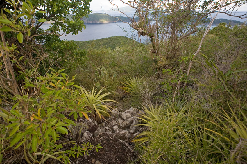
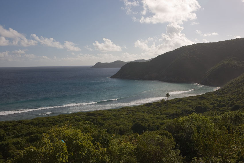
Coastal xeric forests. Guana Island, British Virgin Islands.
Although of course they are not as lush as humid regions, to think that the xeric scrublands and deserts of the Antilles are poor in life-forms would be a huge mistake. These regions are plethoric in their biota and, indeed, are immensely important as centers of local endemism, with entire families of plants and animals restricted to them. Additionally, they serve as wintering grounds for hosts of North American birds that spend the colder months of the Northern Hemisphere in them, feeding on the abundant insects.
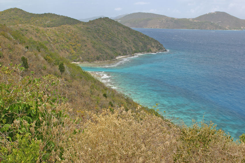
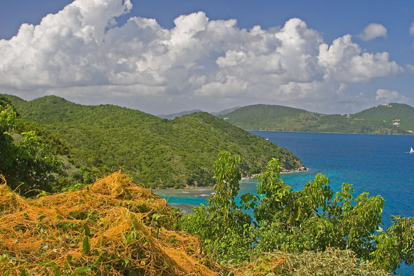
Coastal
xeric forest. Near Hurricane Hole, Virgin Islands National
Park, Saint John, United States Virgin Islands.
Shown in both the dry and rainy seasons.
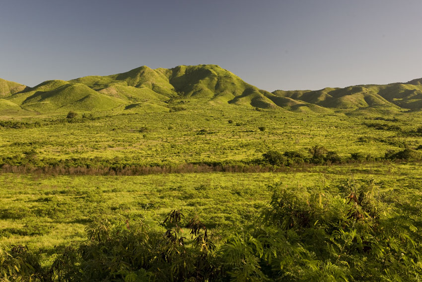
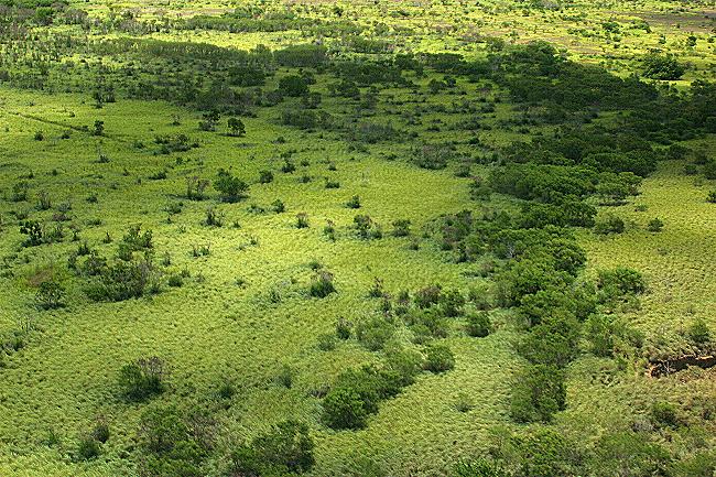
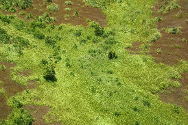

Tropical savannas.
Near Camp
Santiago, south-eastern Puerto Rico.
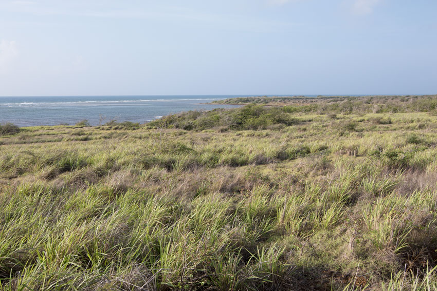
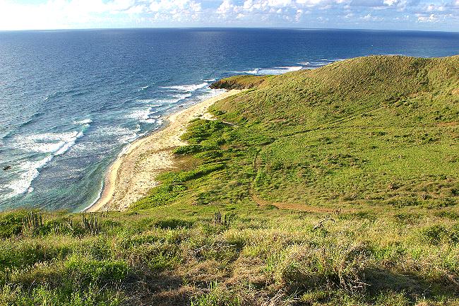
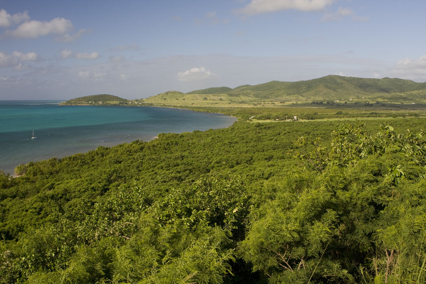
Littoral savannas. Southern Saint Croix, United States Virgin Islands.
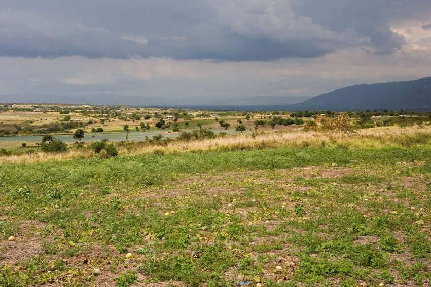
Littoral savanna. Near Treasure Beach, south-western Jamaica.
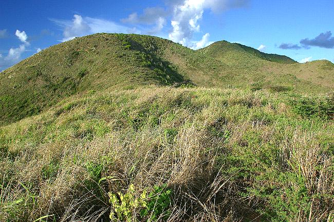
The xeric hills of Point Udall.
Eastern Saint Croix, United States Virgin Islands.
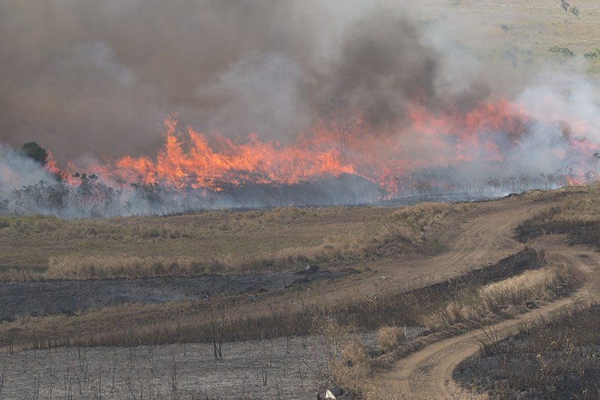
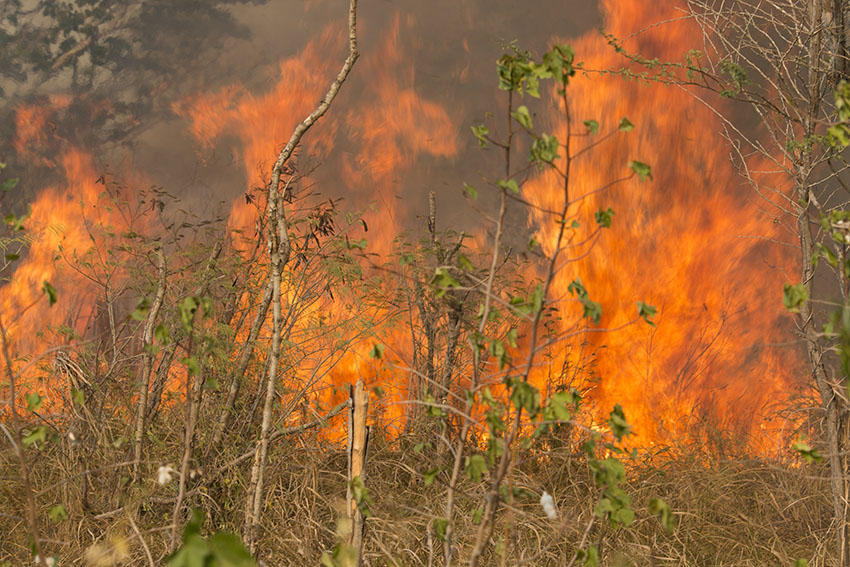
Fire spreads over a savanna in south-eastern Puerto Rico.
Some dry areas in the Antilles are prone to wildfires when lightning strikes.
These are not always a bad thing, since they open new areas for colonization by new organisms.
It must be noted that xeric areas in the Caribbean have expanded greatly and in an unnatural way, due to the extensive deforestation to which the region has been subjected during the last five centuries. With the destruction of the vegetation cover, the ground looses much of its capacity to retain moisture and water tables sink. The result is that areas once covered in lush forests are now occupied by scraggly brush. The situation is further compounded by feral grazing cattle and man-made fires, which prevent the forest to regenerate.
The flat coastal areas of the Caribbean islands are frequently covered by a natural association called "littoral forests". When located in areas that are wind-swept and exposed to salt spray, these coastal ecosystems develop as the other kind of dwarf forest in the Caribbean: littoral dwarf forest.
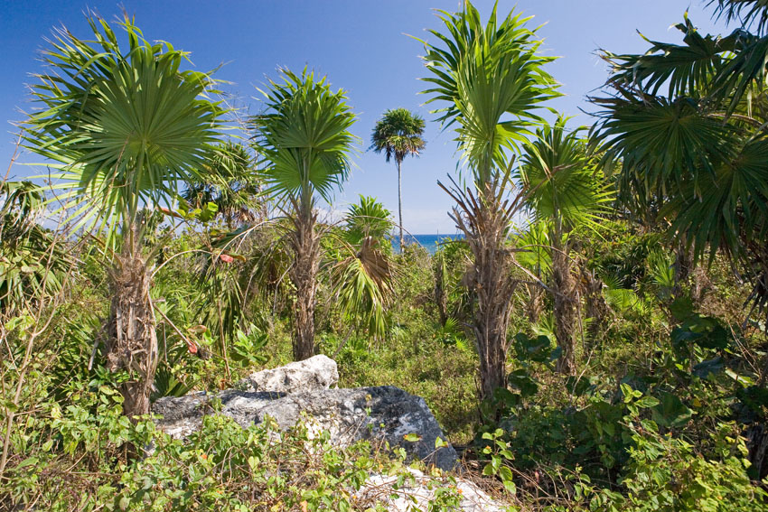
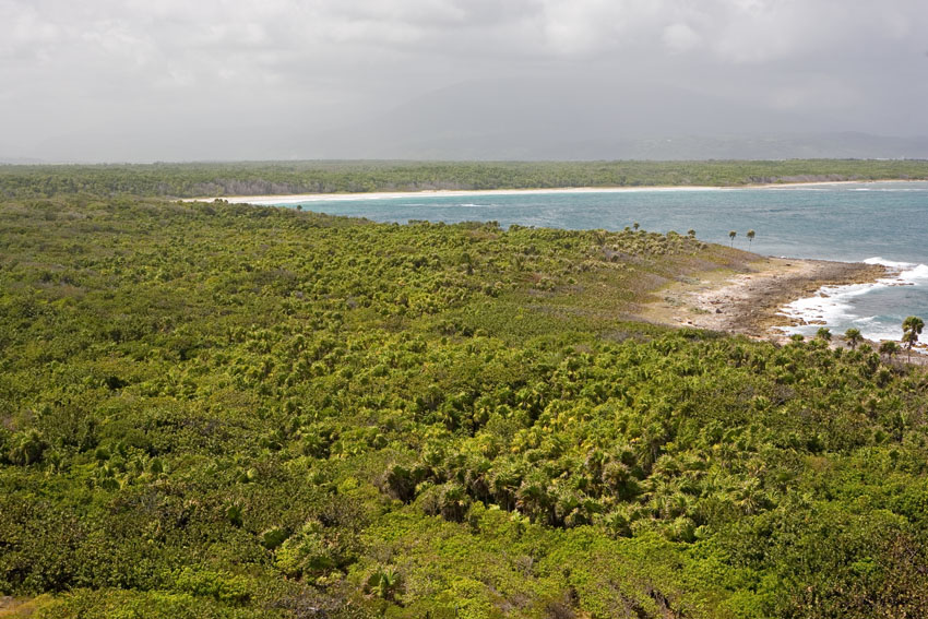
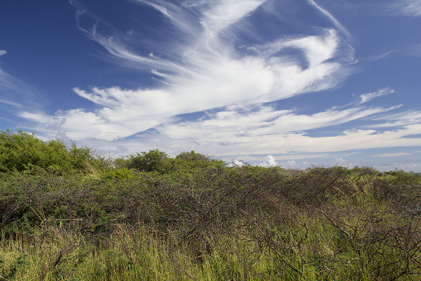
Littoral dwarf forests.
First
photograph:
near Negril, western Jamaica.
Second photograph: Point Morant, eastern Jamaica.
Third photograph: White House Bay, southern Saint Christopher,
Lesser Antilles.

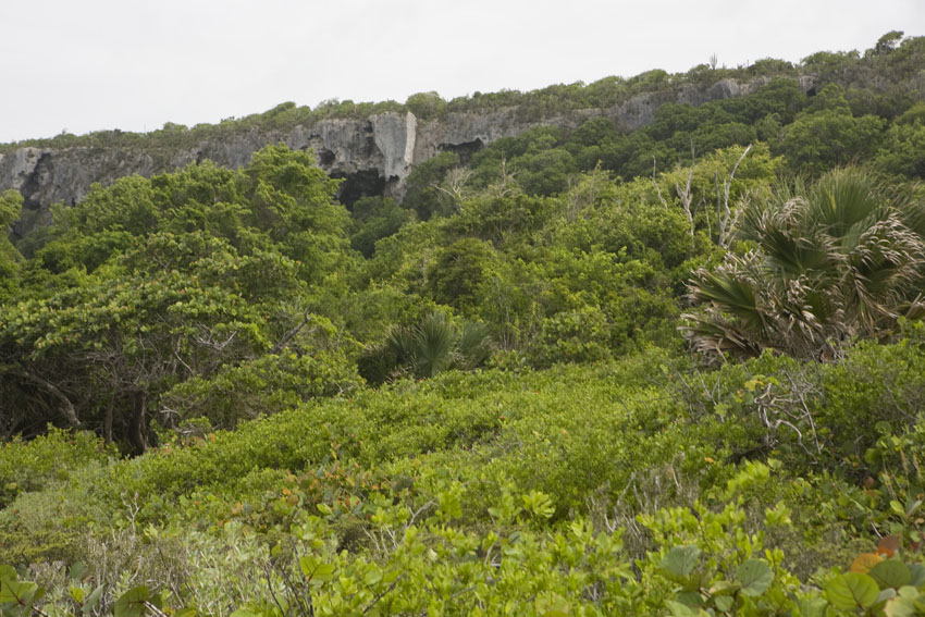
Littoral dwarf forssts. Parque Nacional del Este, eastern
Dominican Republic, Hispaniola.
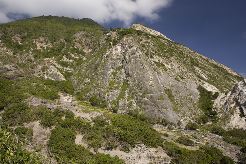
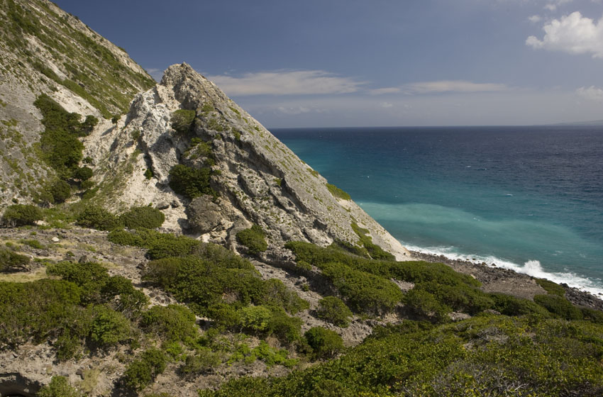
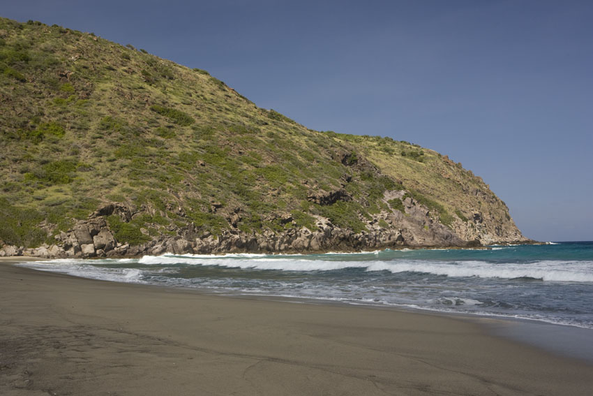
Littoral forests in Saint Eustatius, Lesser Antilles.
First two photographs: foothills of The Quill. Third
photograph: near Gilboa Hill.
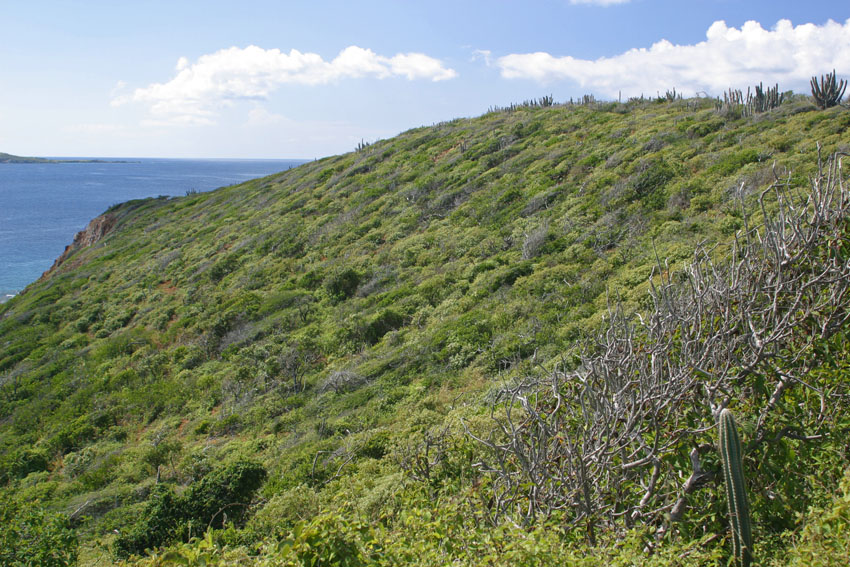
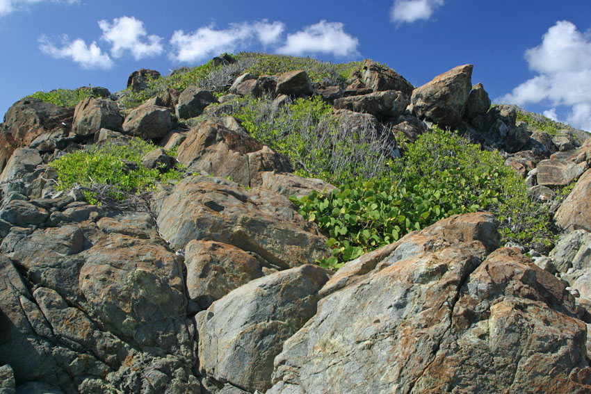
Littoral dwarf forest. South-eastern Saint Thomas, United States Virgin Islands.
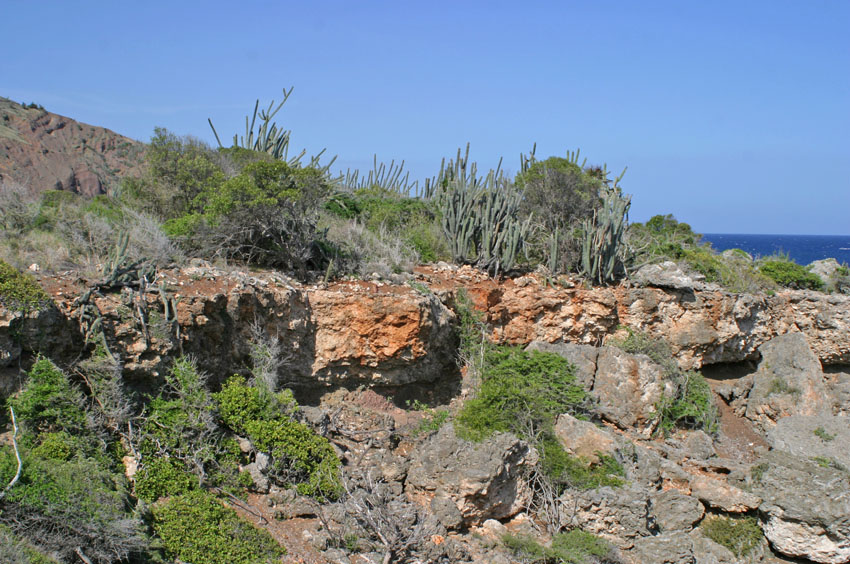
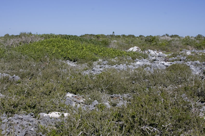
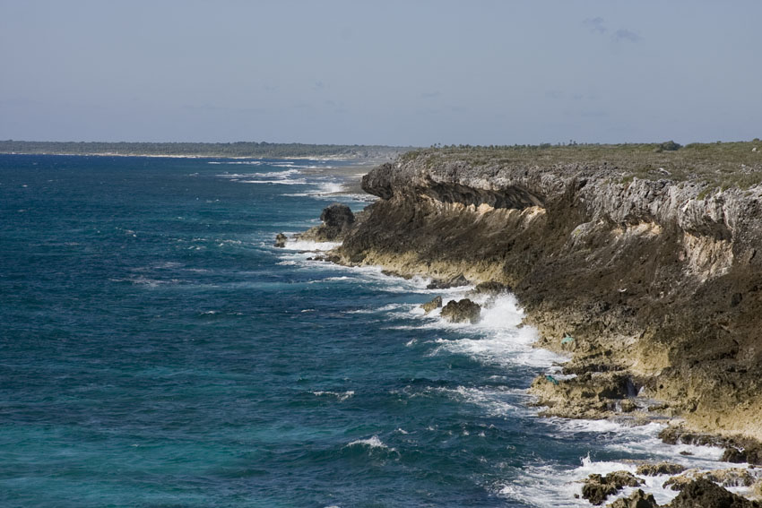
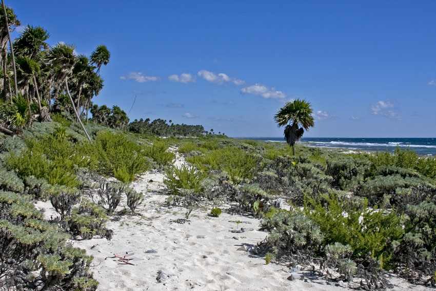
Littoral
dwarf
forests.
First photograph: Guantanamo Naval Base, Guantanamo,
south-eastern Cuba.
Last three photographs: Guanahacabibes Peninsula, western
Cuba.
(Photographs courtesy of Mr. Joseph Burgess).
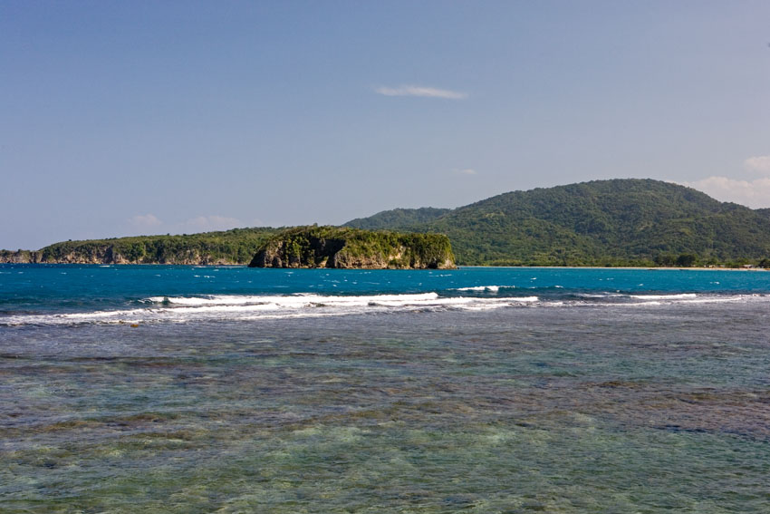
Port Maria Bay, north-eastern Jamaica. Small islets and peninsulas are often covered in littoral forests.
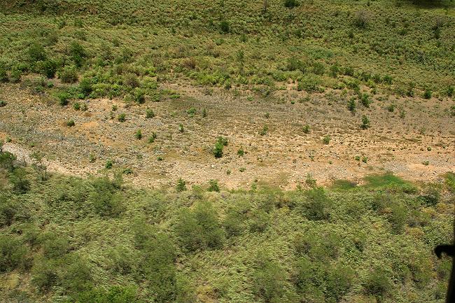
During dry seasons, streambeds in xeric regions might dry out, only to run again when the rainy seasons return.
Camp Santiago, south-eastern Puerto Rico.
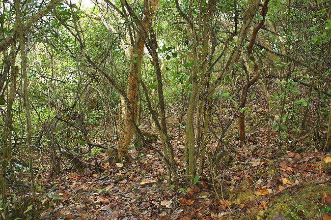
The interior of a littoral forest. Quebradillas, north-western Puerto Rico.
Where the forest has some protection from the winds it is more complex in its structure and species-richness.
Also, the trees will grow to enough height for one to walk under the low canopy.
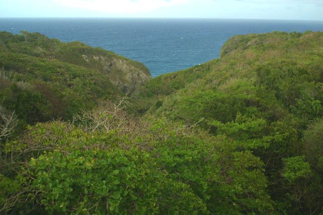
In some places littoral forest communities extend for a short distance inland. Camuy, north-western Puerto Rico.
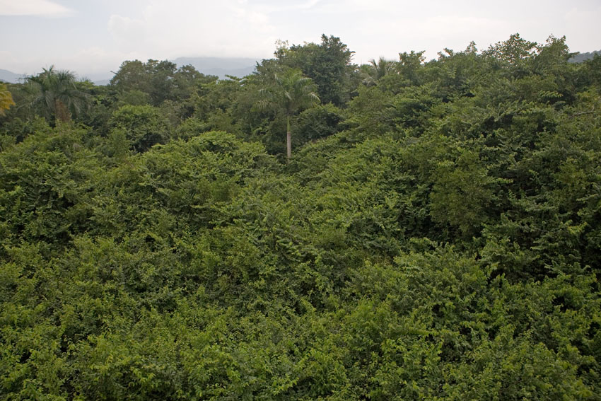
Littoral forest merging into lowland humid forest. Rio Grande, north-eastern Puerto Rico.
Where coastal forests find themselves sheltered from the wind in steep valleys near the seashore, particularly in the eastern and northern coasts of the islands, the conditions can be quite humid. There, trees are much taller than those in exposed areas and the vegetation can be quite lush, even amidst otherwise arid conditions.
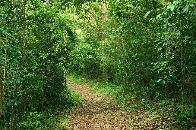
Lowland humid forest in the bottom of a valley, near sea level.
Nearby areas on more exposed ridges are xeric.
Virgin Islands National Park, Saint John, United States Virgin Islands.
Finally, where land meets sea, we find the last major type of forest in a the Caribbean, one that is unique to tropical areas around the planet: mangrove forests. These can take the form of dry land forests on the landward side, or shallow, tree-filled swamps that may extend several kilometers into the sea. The primary biotic components - especially the trees - of each of these two types of forest are quite different, though they gradate rather smoothly into one another.
Mangrove swamps are forests composed of only a few species of trees adapted in different degrees to saline conditions. Smaller plants live among the roots and trunks of the mangrove trees, especially in the drier parts of the swamp. Closer to the sea, aerial root systems that prop the trees over brackish or saltwater are nurseries for many species of fish that, as adults, live in open sea or in coral reefs. This lattice of roots also for the physical foundation of a multitudinous community of algae and invertebrate animals including clams, oysters, corals, sea anemones, starfish, sea urchins, crabs and shrimp. Among these roots also lurk many species of wading birds, reptiles, and rodents, and the tree crowns often serve as nurseries for colonies of herons, storks, frigate birds, and pelicans.
These ecosystems are also primary wintering grounds for a number of North American migrant birds. Some of these bird species winter almost exclusively in the Caribbean and their populations have been reduced not because of adverse conditions in the continent, but because of the destruction of their wintering grounds in the West Indies.
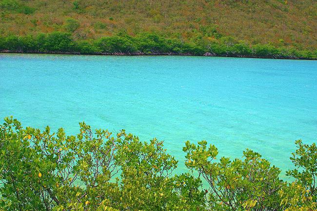
Mangrove
forests border Caribbean shores, inlets, channels, and bays.
This
ecosystem has suffered greatly due to "development", and has
even disappeared completely from many areas.
Mary
Point, Virgin Islands National Park, Saint John, United States
Virgin Islands.
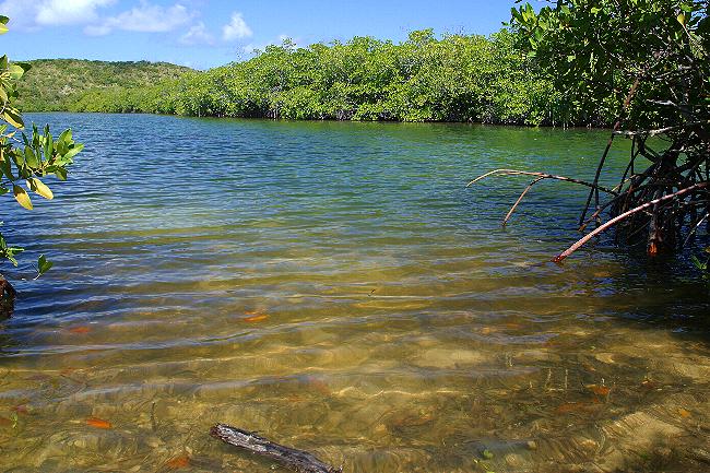
Mangrove forest. Mangrove Lagoon, south-eastern Saint Thomas, United States Virgin Islands.
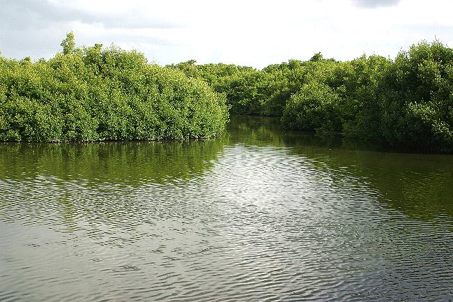
Mangrove forest. Enrique Martí Coll Park, San Juan, north-eastern Puerto Rico.
Although having a relatively low terrestrial biodiversity (lower than that other tropical forests, anyway) mangrove swamps are immensely important as breeding and living grounds for terrestrial and marine organisms. They also filter and retain sediments washed from land and, over time, extend the land itself seaward, thus creating yet more terrestrial lowland habitats.
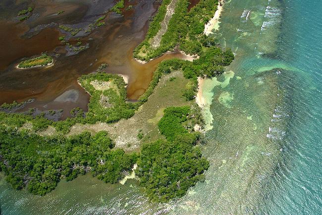
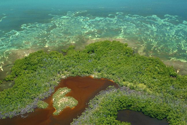
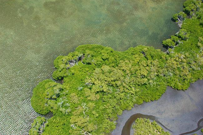
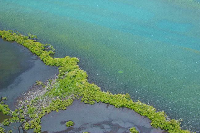
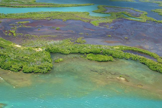
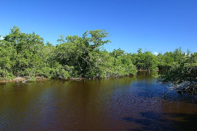
"Barrier" mangrove forests separating an inner lagoon from open sea. Jobos Bay Nature Reserve, Guayama, south-eastern Puerto Rico.
The reddish-brown color of the lagoons is due to the presence of high concentration of tannins in the water. The tannins themselves
make the water highly acidic, and are released by de
decomposition of vegetable material over eons of time.
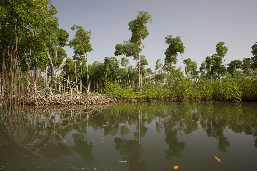
Mangrove forest. Los Haitises National Park, northern Dominican
Republic, Hispaniola.
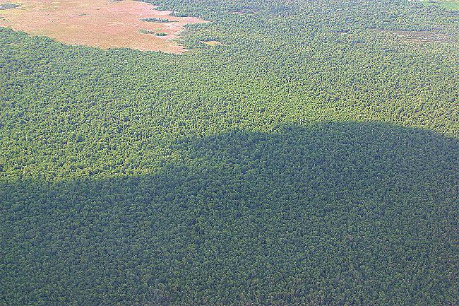
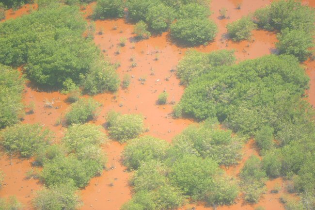
In a few of the West Indies, mangrove forests still cover vast extensions.
Piñones State Forest, Loíza, north-eastern Puerto Rico.
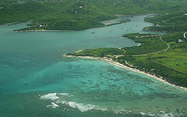
Salt River Bay National Historic Park and Ecological Preserve. Northern Saint Croix, United States Virgin Islands.
This reserve protects one of the few mangrove and estuarine ecosystems remaining in Saint Croix.
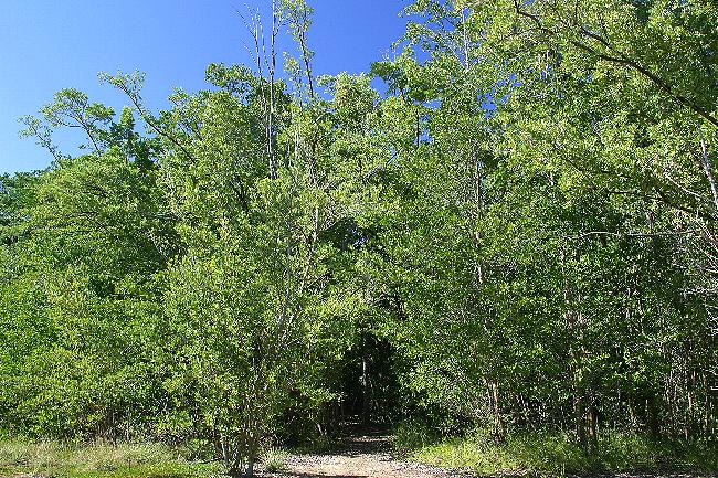
On the landward side of West Indian mangrove forests grow stands of buttonwood mangrove, Conocarpus erectus.
In spite of its common name, this is not a true mangrove tree. This species can endure high salinity in the soil, but not waterlogged conditions.
Aguirre State Forest, south-eastern Puerto Rico.
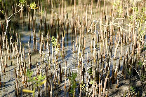
The roots of Avicennia germinans and some other
mangroves send up projections called "pneumatophores"
which exchange gasses with the air and keep the trees healthy in
their waterlogged soils.
Aguirre State Forest, south-eastern Puerto Rico.
Toward the sea, beyond many Antillean mangrove swamps, submarine prairies of turtle grass, Thalassia testudinum, extend sometimes as far as the edge of the insular platform itself, as long as the water is shallow and well illuminated. These are prime foraging and breeding grounds for yet other hosts of marine organisms, like Caribbean queen conchs, West Indies manatees, and several species of sea turtles. Thalassia and their kin are not algae, but relatives of grasses that have adapted to live under saltwater.
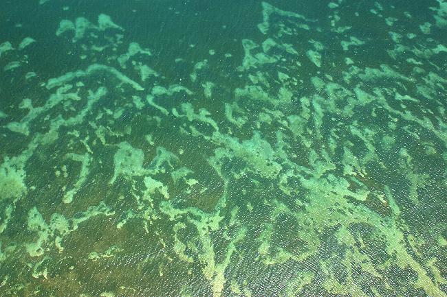
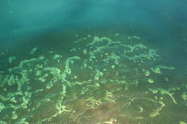
Underwater prairies of turtle grass, Thalassia testudinum.
Jobos Bay Nature Reserve, Guayama, south-eastern Puerto Rico.