HWY 62/180 / Guadalupe Mountains
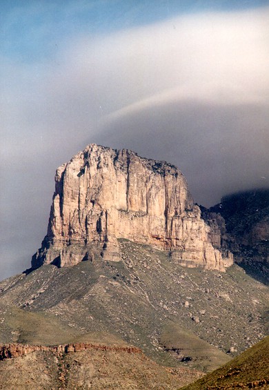
Although most of the collectable Habitat is in Culberson County, there are locations in Hudspeth County for collecting as well. There is usually fairly heavy traffic on this road so walking the cuts is usually the best way to hunt. The pic above is of El Capitan (in Guadalupe Mountains National Park) the highest point in Texas and just a 1 hour drive North of Van Horn, Texas.
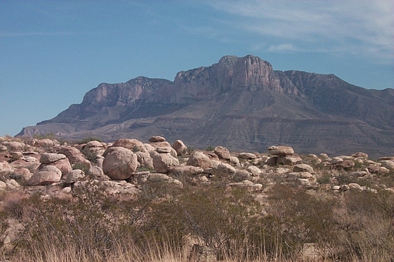
The fauna in this area is characteristic of that of the Chihuahuan Desert but with more trees. The trees along the road way in this area consists of One-seeded, Alligator and other Junipers, Pinon Pine, Ponderosa Pine, Scrub and Live Oaks. There are actually Douglas Fir in the higher elevations. Hwy. 62/180 runs through the middle of these mountains. The mountains themselves are actually an old Corral Reef dating from back when this area was under the ocean. Therefore the majority of the rock in this area is fragmented limestone. There have been a few Grey-Banded King Snakes (Alterna) and Big Bend Milk Snakes (Celeonops) and other notable species collected in this area. Collectable habitat exists in this area just South and North of the park, just be sure NOT to collect in the park itself. Remember, you are going to be near the New Mexico state line as you travel North and L. Alterna and C. lepidus are protected species in that state.
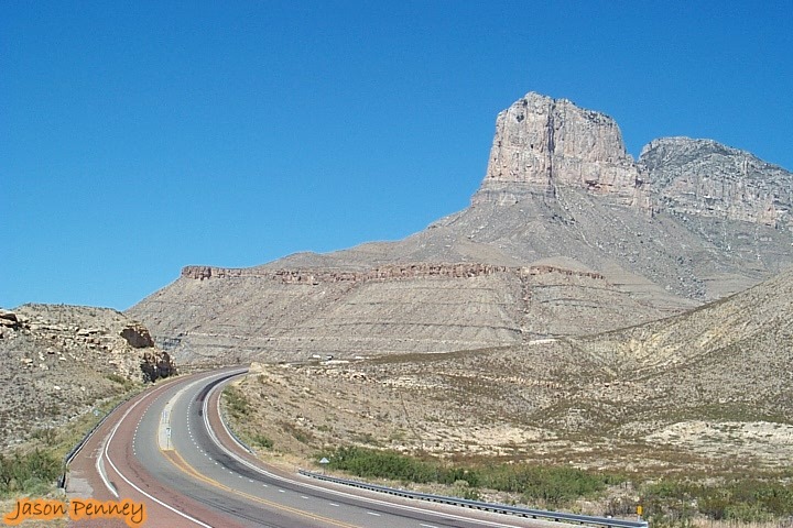
I highly recommend a hike through McKittrick Canyon ( in the park) during the last two weeks in October through the first two weeks in November. During this time of the year trees such a Big-Tooth Maple, Western Soapberry, Ash and others turn varying shades of bright red, orange, and yellow. This area has been described in Magazines such as Texas Highways and Texas Parks and Wildlife as "The Prettiest Spot in Texas". I am assuming that they mean during this time of year. There is also a creek running most of the length of the canyon. The creek is home to the only native breeding rainbow trout population in the state of Texas. You have too look pretty hard in some spots to actually see them. I'll include some pictures of this when I get them. The first thumbnail below is a view from Hwy 62/180 in Hudspeth County looking towards the Guadalupe Mountains. The second thumbnail is the beginning of where I usually start looking by walking rock cuts. Click on either thumbnail to enlarge.
Other links to Guadalupe Mountains info: