
|
Text by Troy Hibbitts Edited by Robert T. Haase |
 click to enlarge |
|
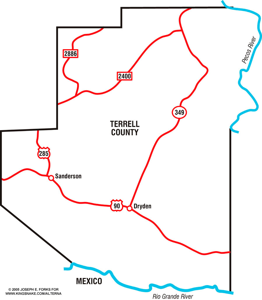
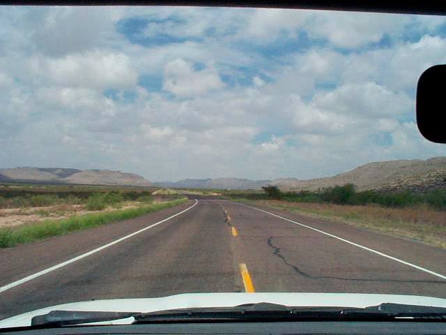
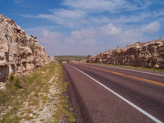
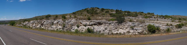
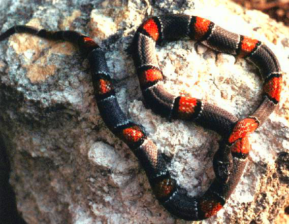
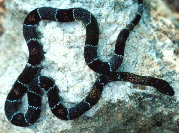
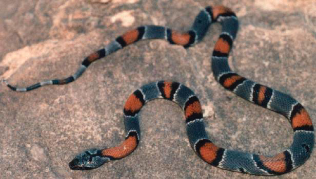
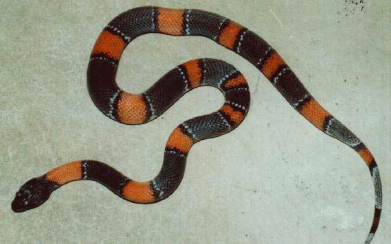
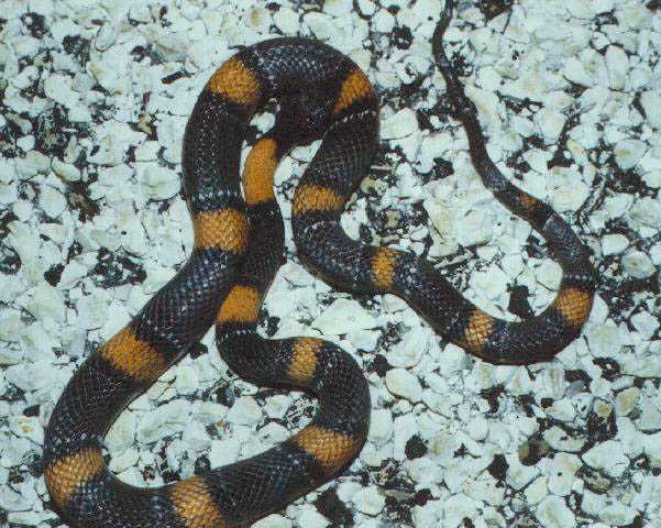
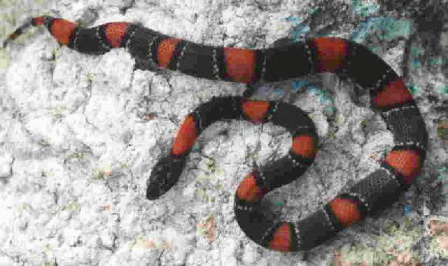
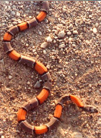
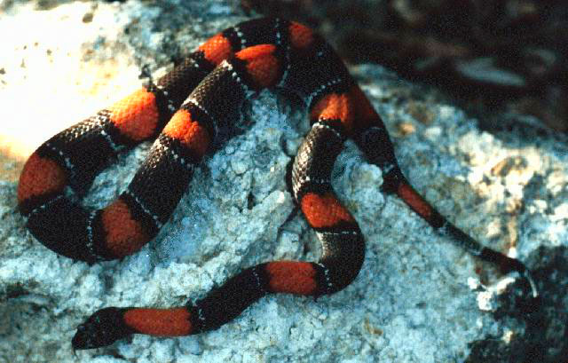
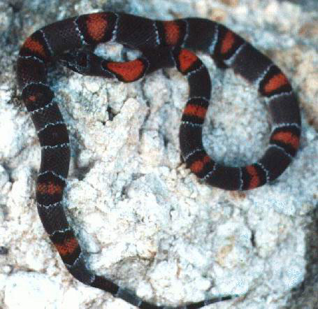
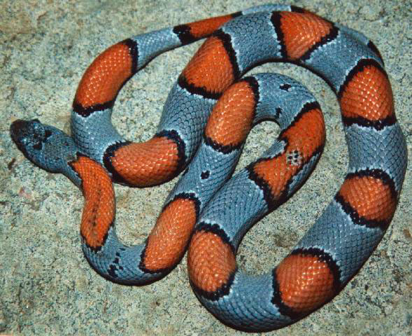
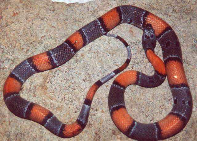
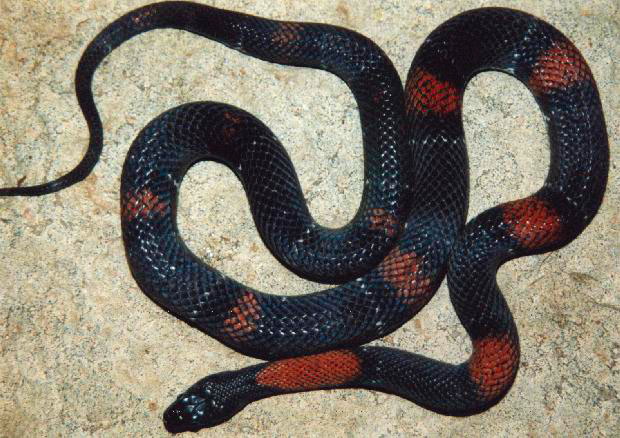
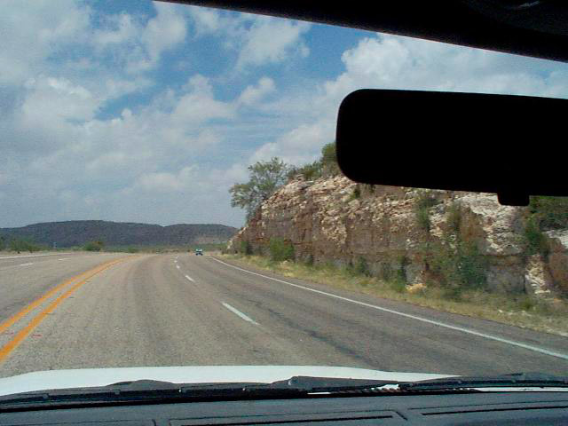
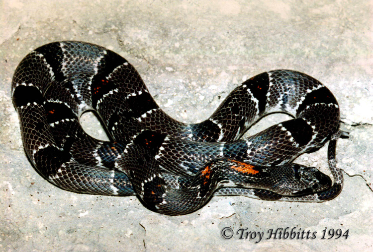
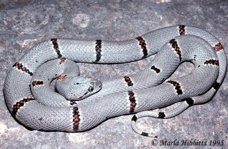
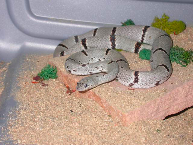
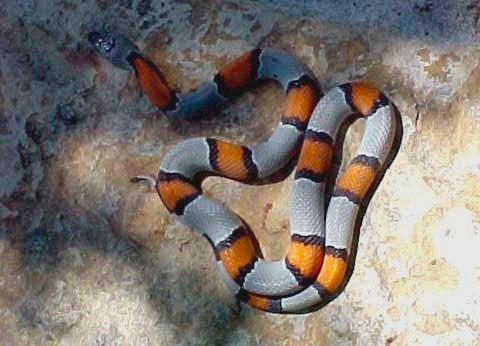
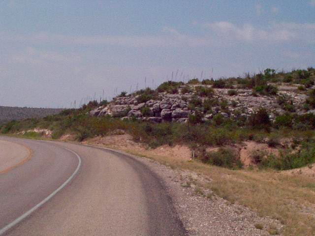
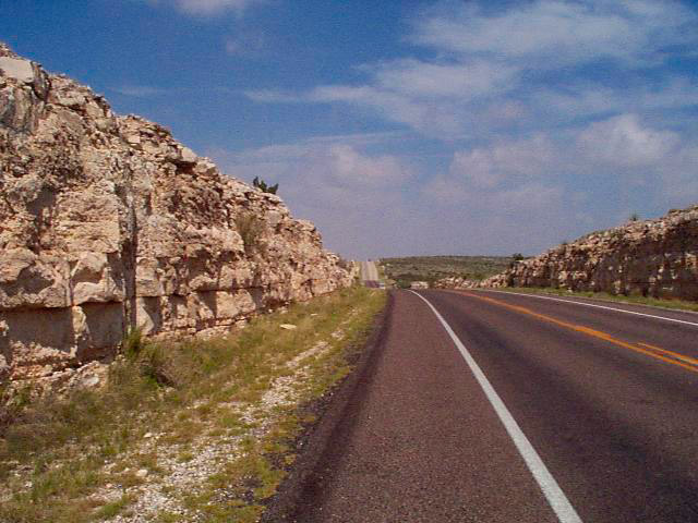
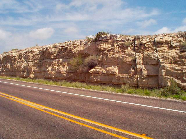
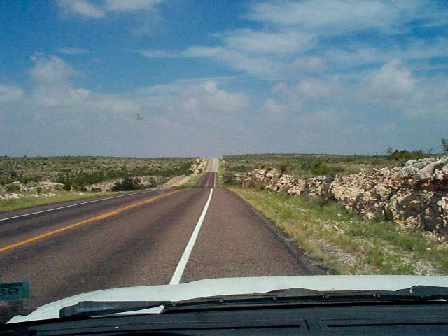
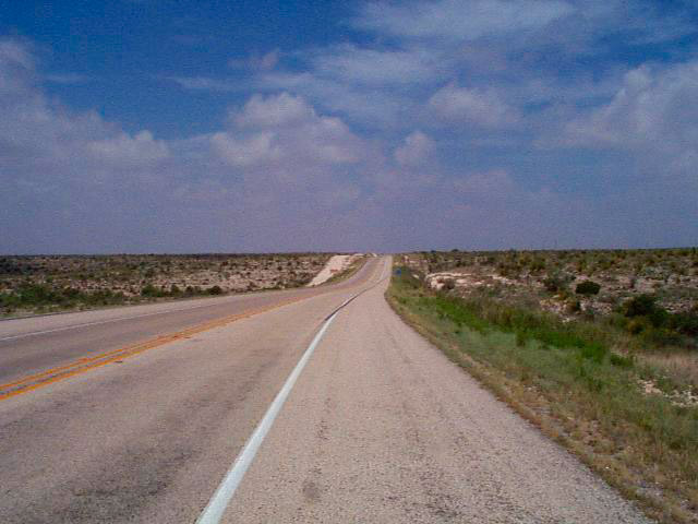
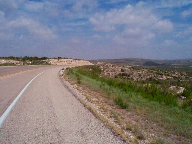
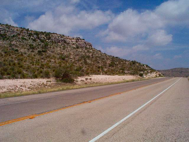
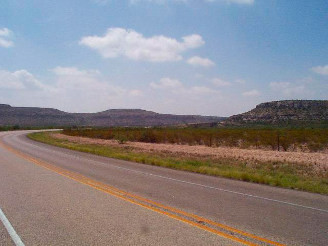
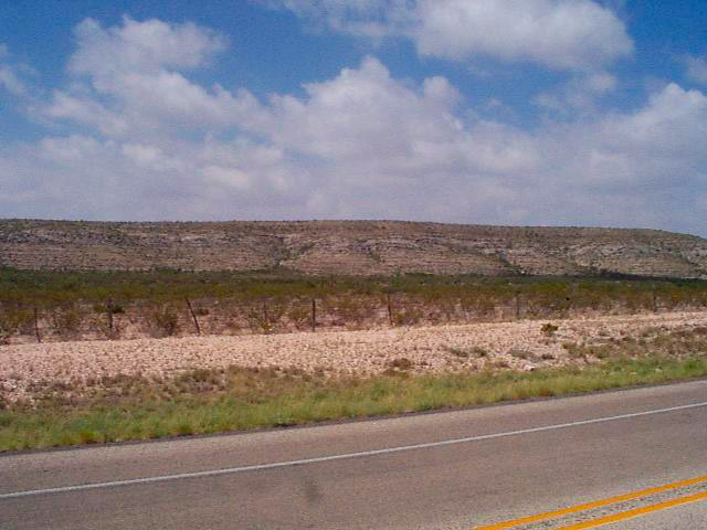
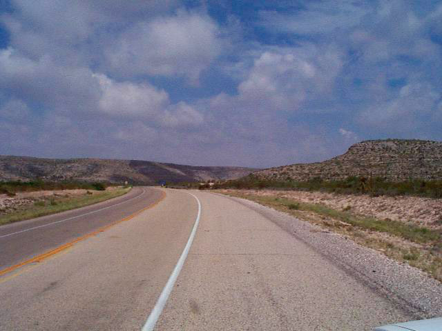
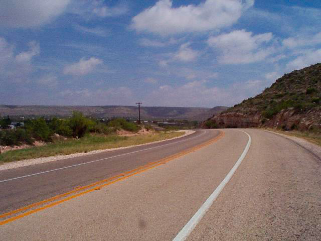
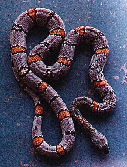
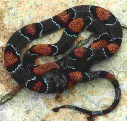
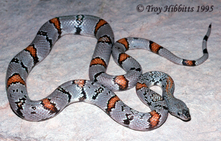
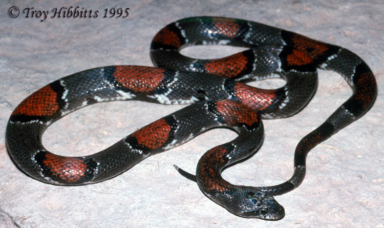
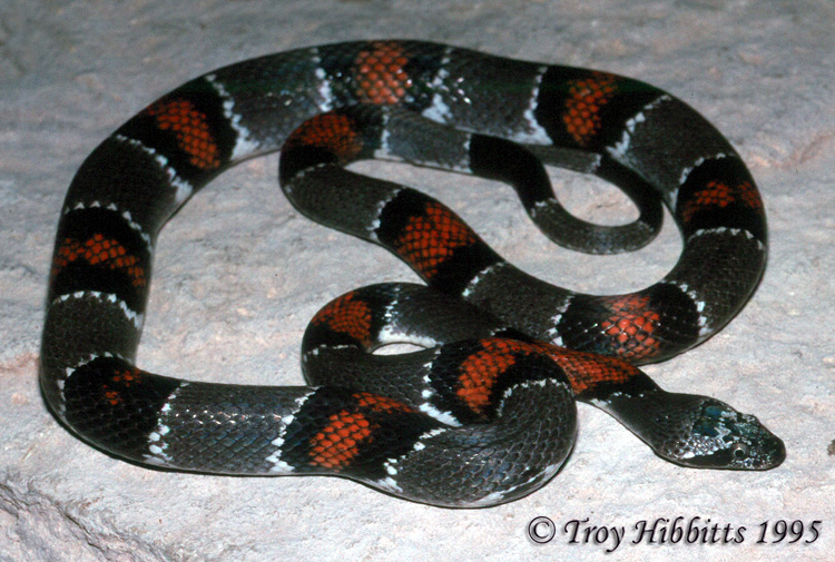
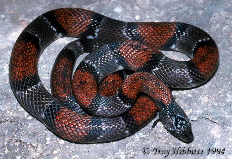
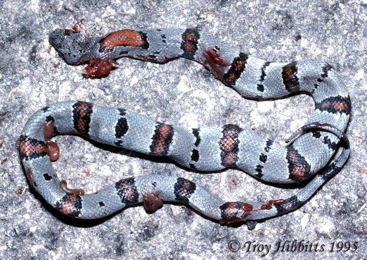
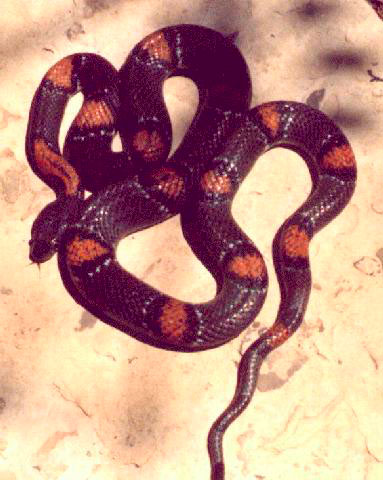
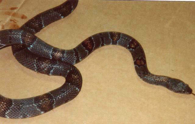
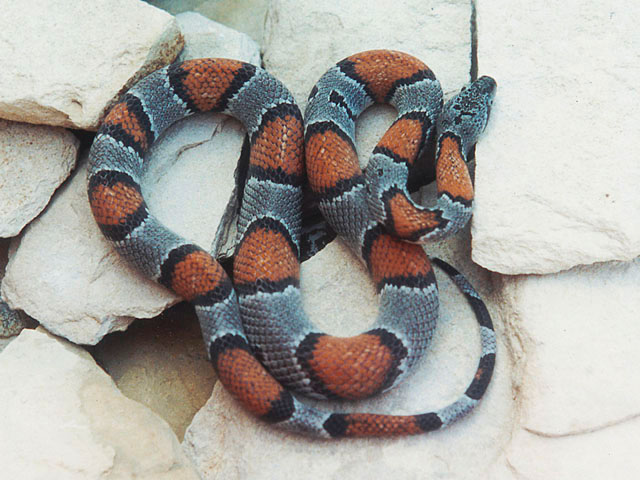
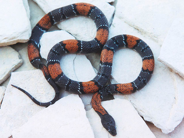
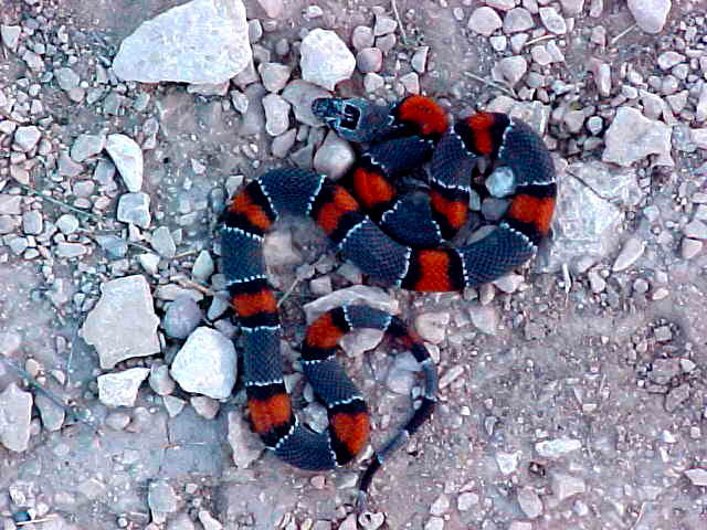
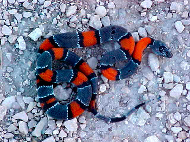
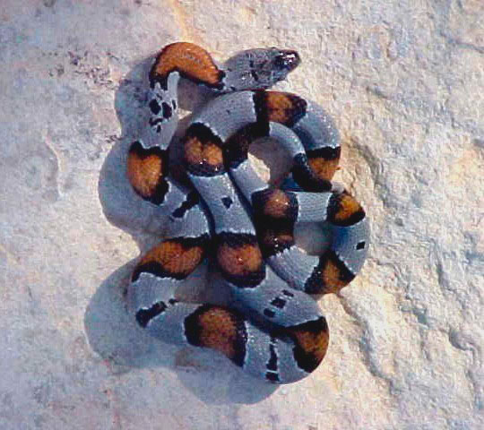
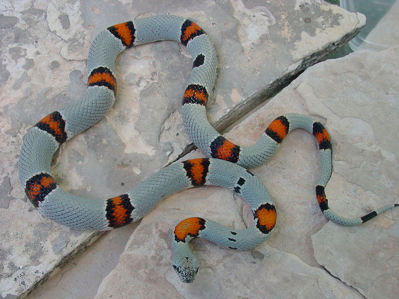
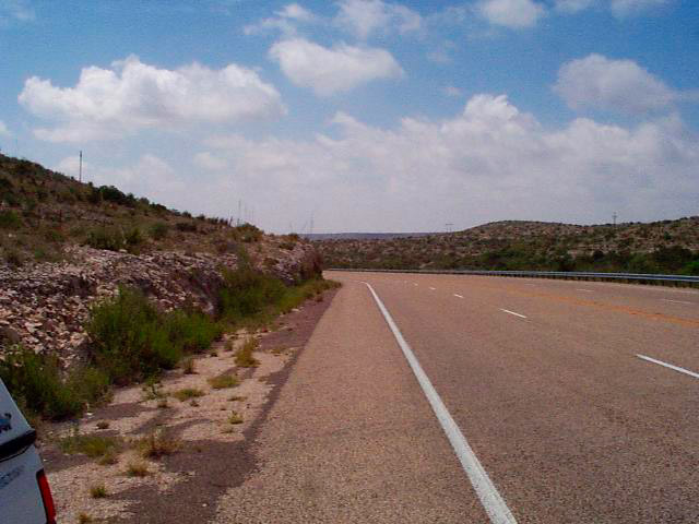
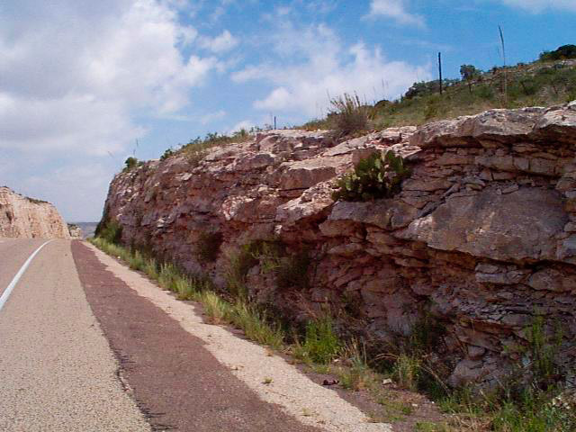
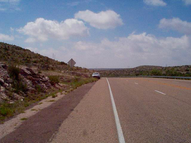
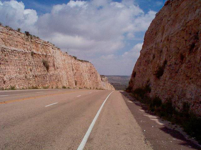
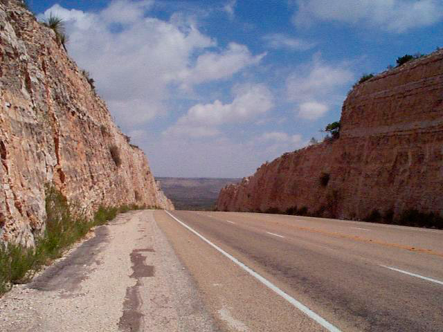
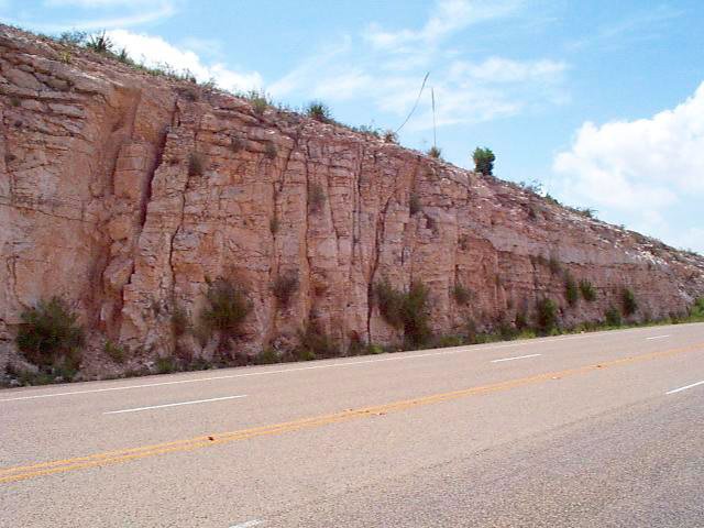
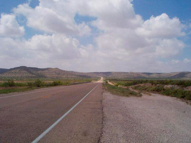
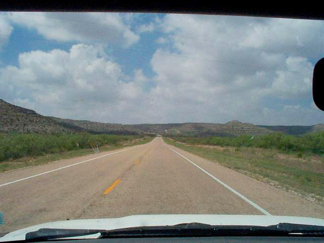
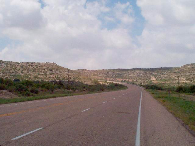
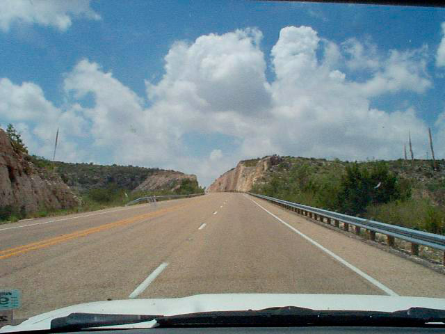
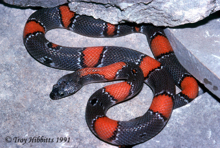
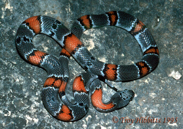
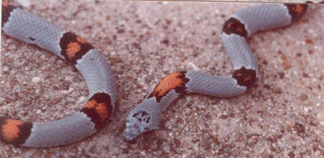
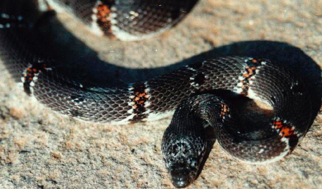
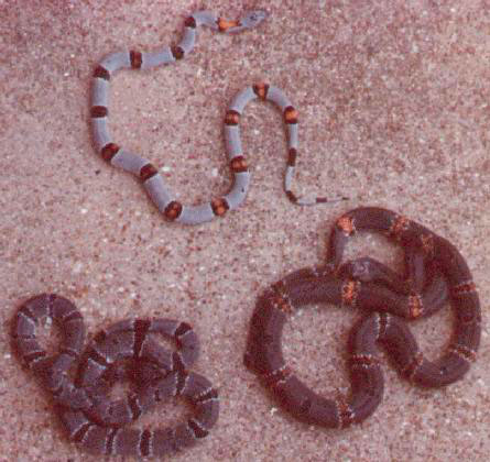
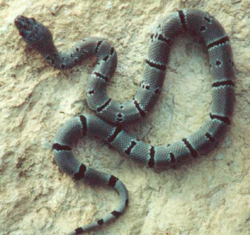
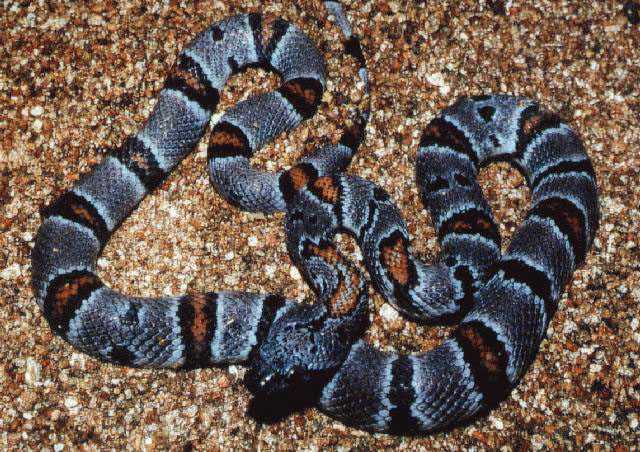
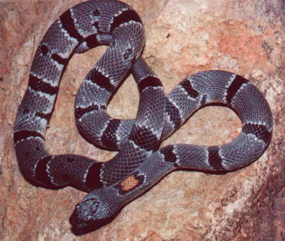
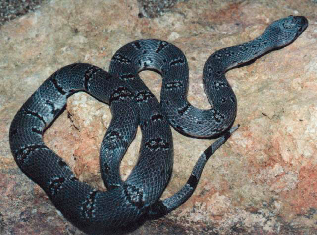
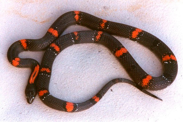
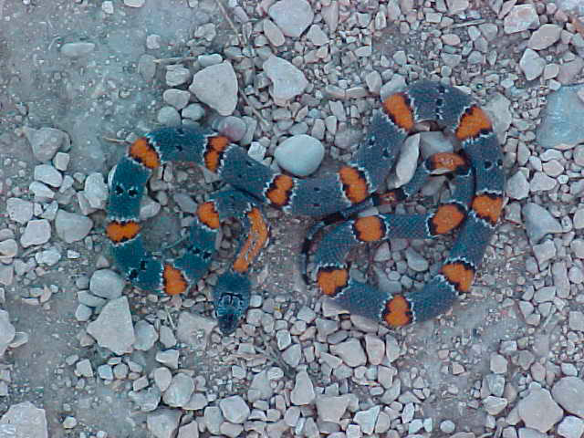
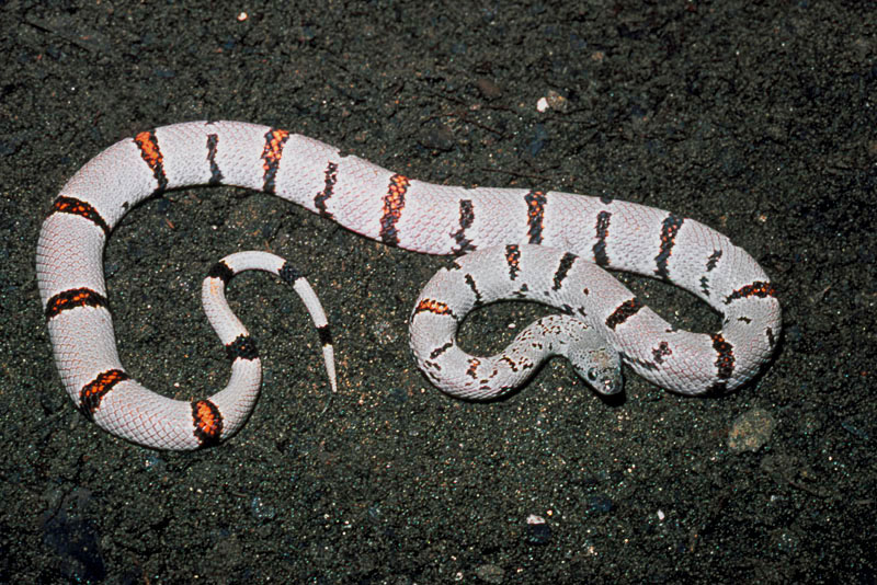
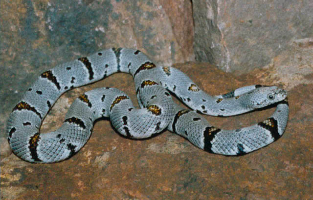
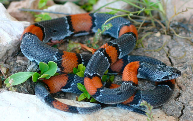
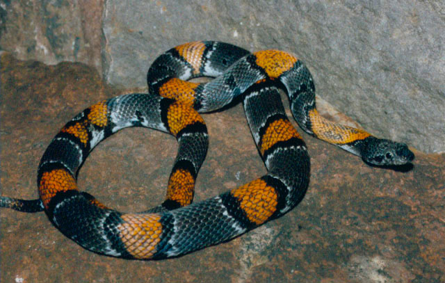
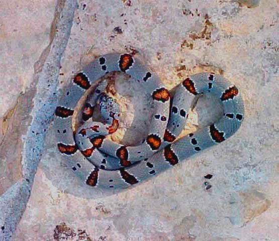
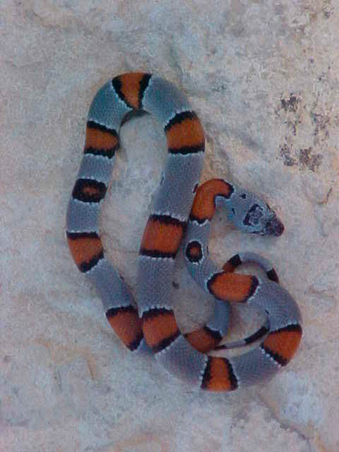
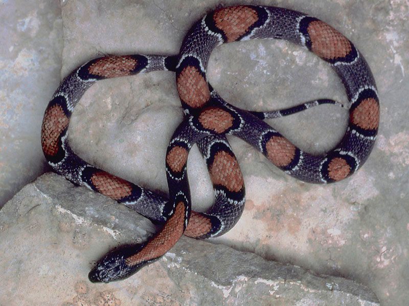
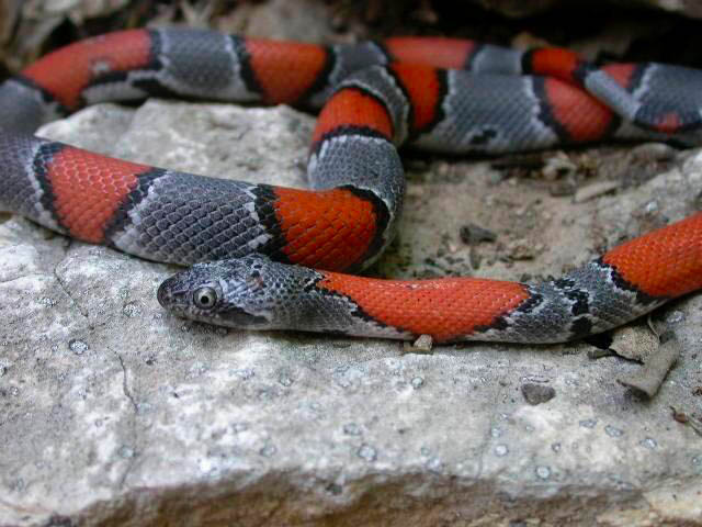
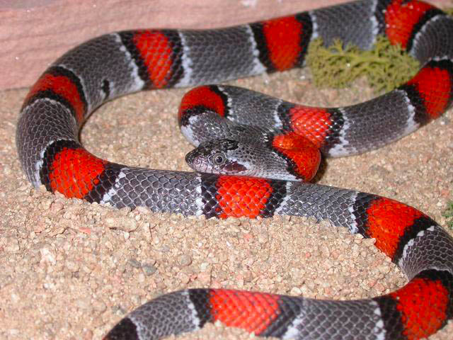
PHYSICAL GEOGRAPHY Terrell County is a rural county consisting of 2,391 square miles located on the western edge of the Stockton Plateau. Its landscape is predominated by Limestone Plateaus dissected by numerous canyons and intermittent streams. The exposed limestone layers within Terrell county are almost universally of Cretaceous origin. In the southeastern portion of the County, areas of underlying Cretaceous sandstones have also been exposed. CLIMATE Terrell County is typified by desert grassland that includes a variety of grasses along with cacti, sotol, lecheguilla, and desert shrubs such as juniper, mesquite, creosote, and acacia. Oaks and cottonwoods occur along permanent or semi-permanent streams with scrub oaks on higher slopes of the plateaus. POPULATION Terrell County is dedicated ranching country with a local economy dominated primarily by the sheep and goat industry and is accordingly sparsely populated. Most of the county population resides in Sanderson, which is the county seat. A few hardy individuals also live in the county's only other town of Dryden, which is nearly a ghost town at present. POPULAR LOCALITIES Palma Draw and Lozier Canyon Lozier Canyon - US 90 Specimens
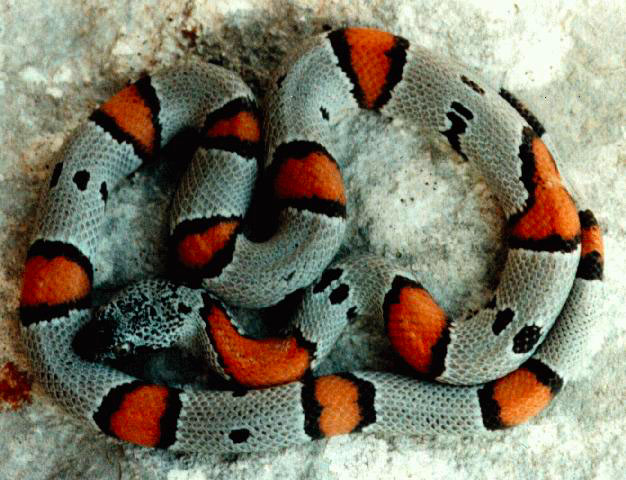
Palma Draw - US 90 Specimens Sanderson Sanderson - in Town
Specimens Sanderson - US 90 West
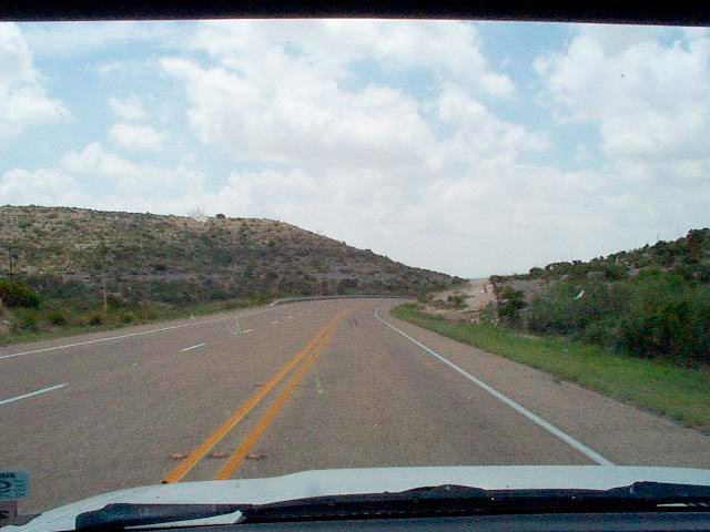
Habitat
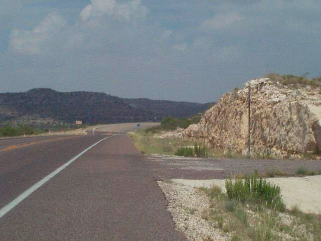
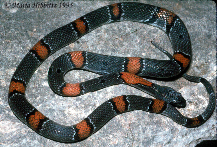
Sanderson - US 90 East
Habitat Sanderson - US 285 North
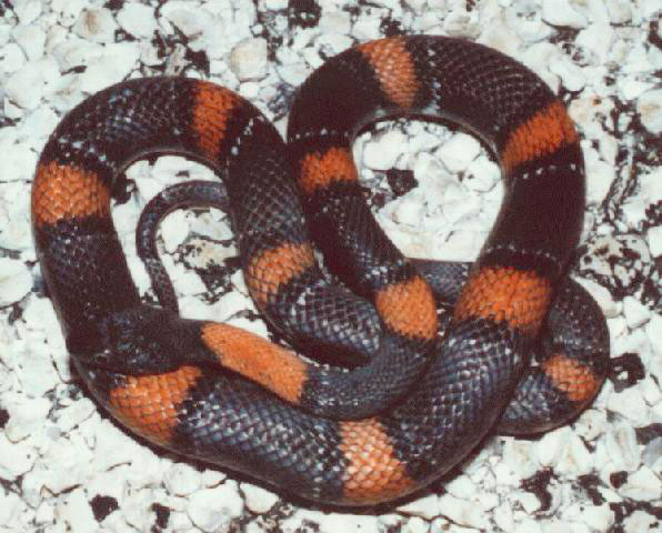
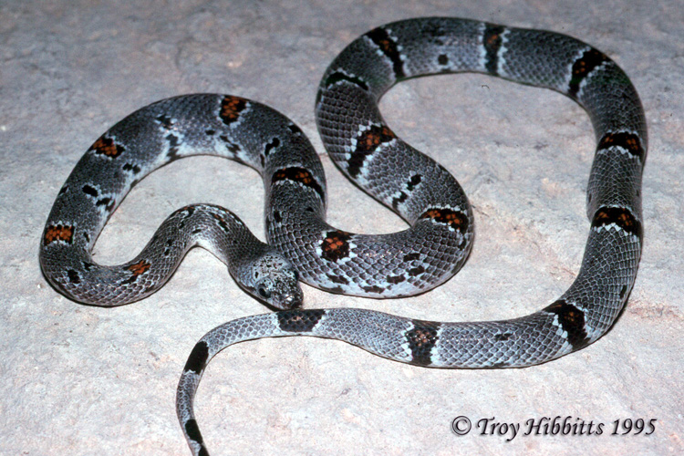
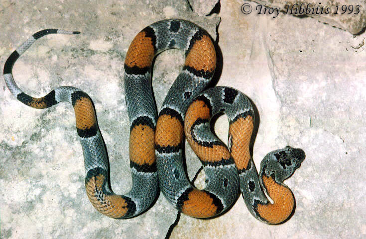
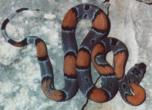
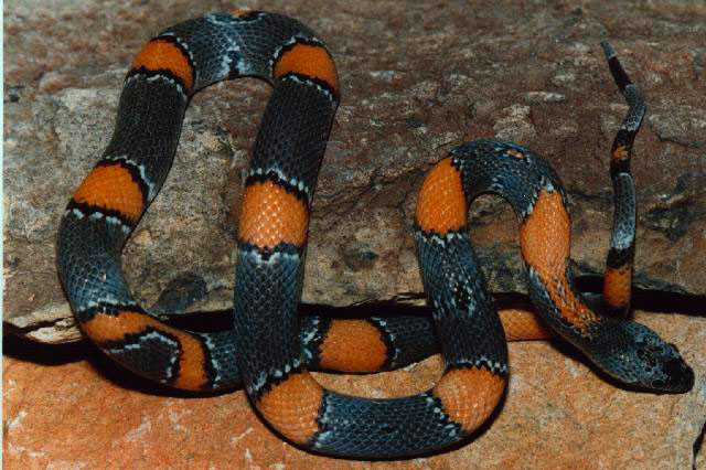
Habitat Dryden - US Hwy 90 Habitat Specimens
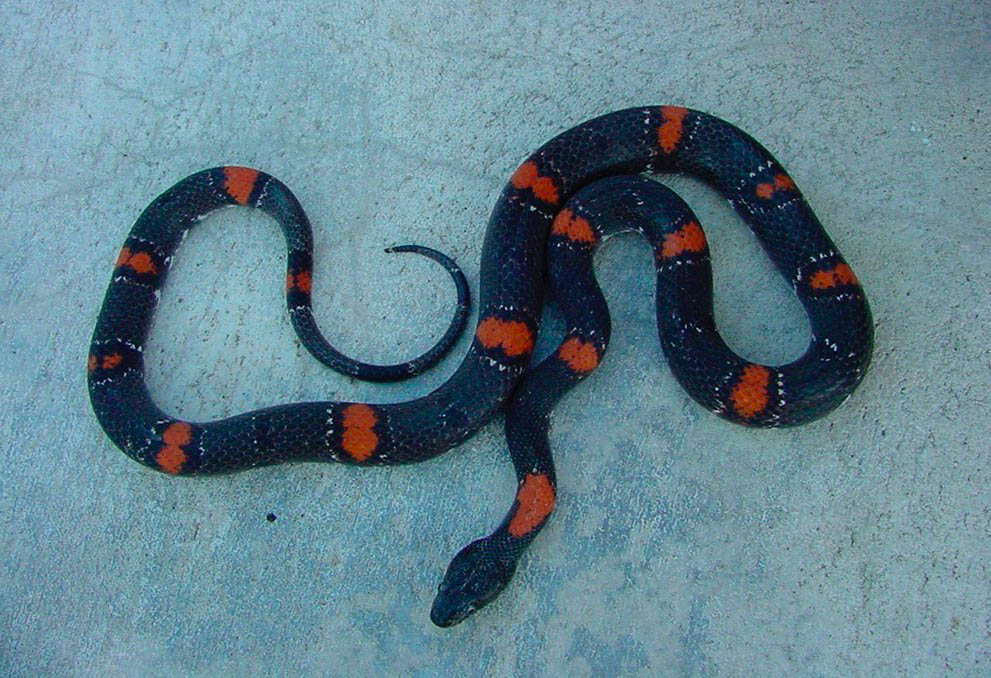
Tx 349 - extending from Dryden north to Sheffield
(in Pecos County) Habitat Specimens
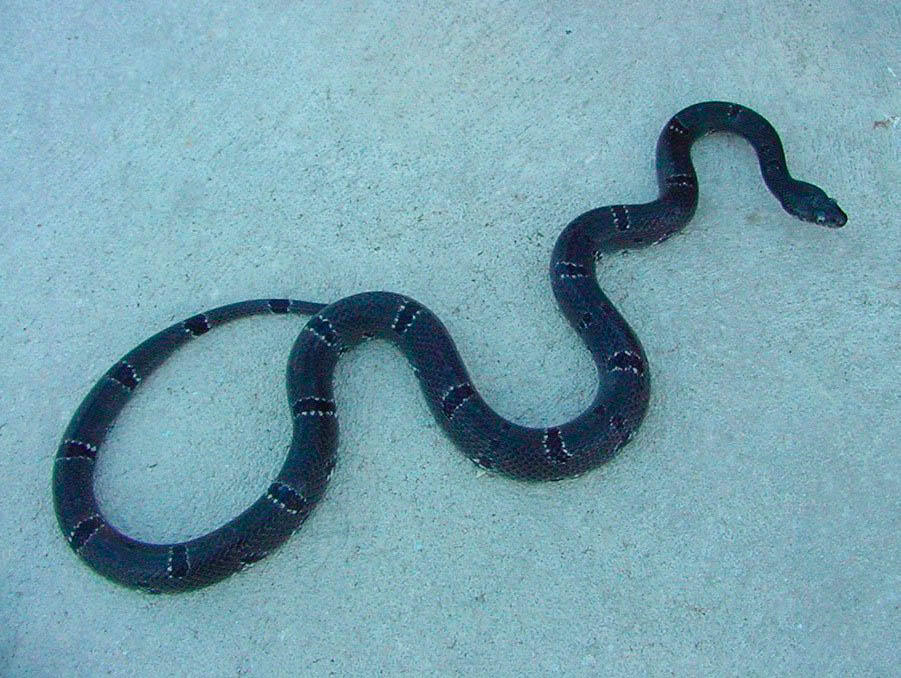
FM 2400 - extending from the Tx 349
west to US 285 (in Pecos County) Habitat Specimens FM 2886 |
