
|
Text by Troy Hibbitts |
 click to enlarge |
|
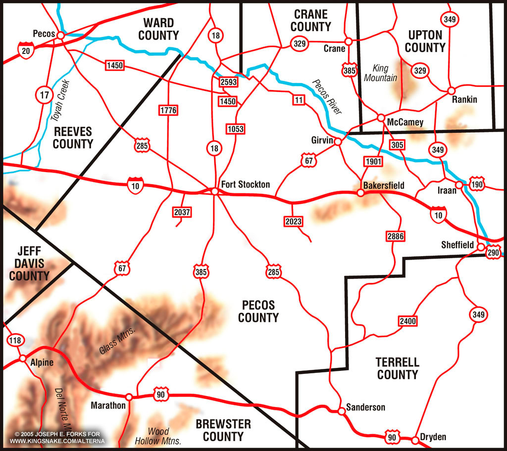
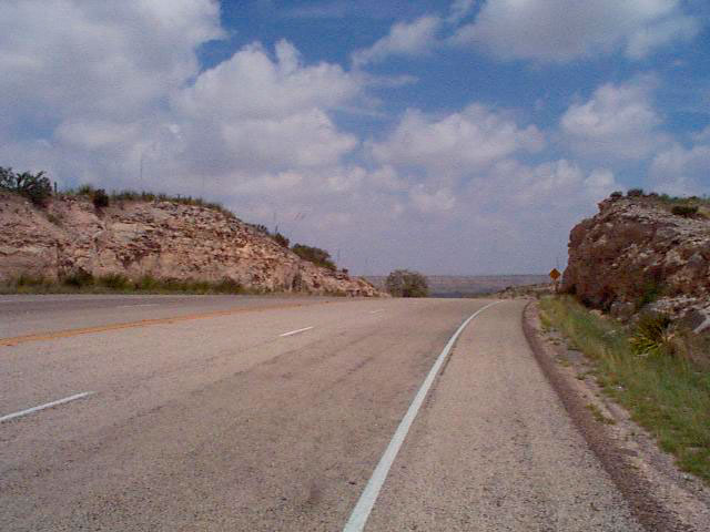
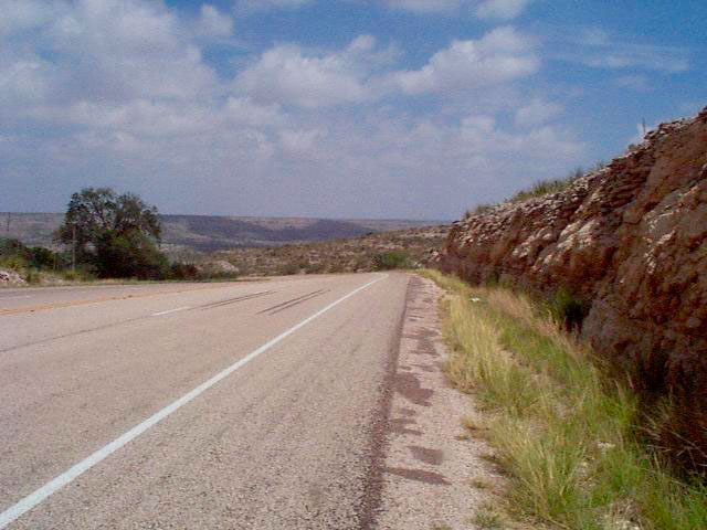
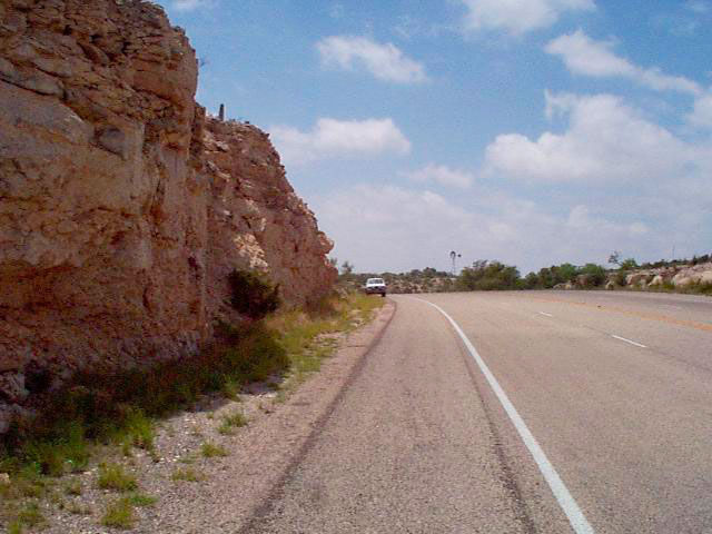
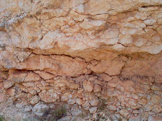
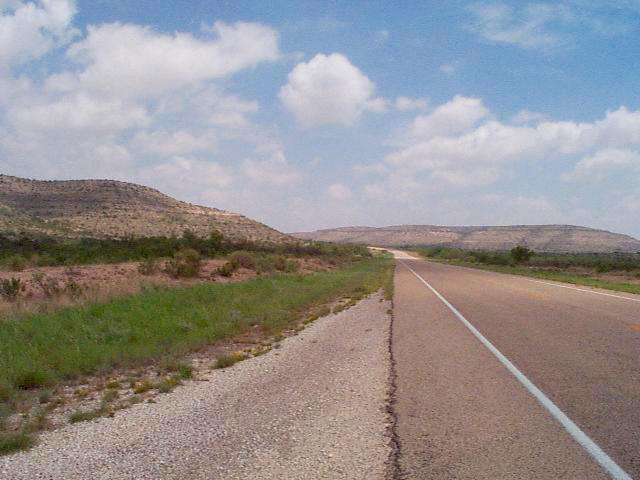
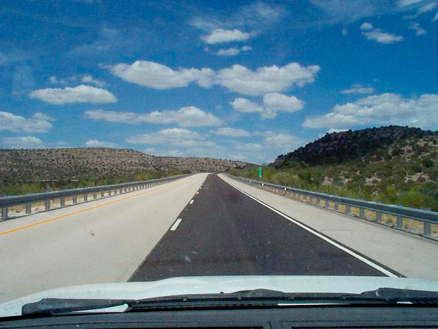
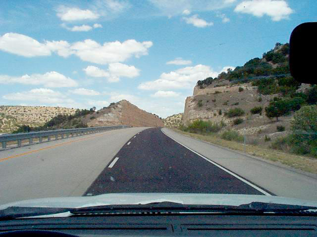
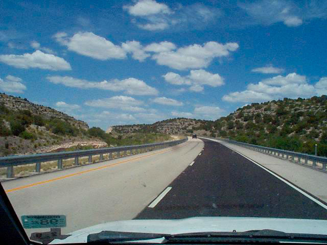
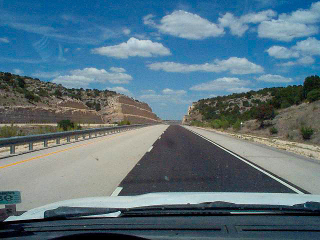
Physical Geography Pecos County is a large county lying on the southern edge of the Permian Basin, the western edge of the Stockton Plateau, and the northern edge of the Trans-Pecos Mountains. The county is composed of 4,740 square miles. Much of Pecos County is composed of Cretaceous Limestones, with areas in the north of the county composed of Quaternary sands and gravels. The Glass Mountains in the southern portion of the county are made up of Permian and Pennsylvanian Limestones. Climate Pecos County receives an average of 12.2 inches of rain annually, making it a semi-desert or desert grassland. The Glass Mountains in the southern portion of the county receive slightly higher amounts of rain. Vegetation throughout the county is predominantly grass, cacti, and creosote. Areas in the southern portion of the county also support larger shrubs such as juniper and shrub oaks.Additionally, in the higher elevations of the Glass Mountains, Pinyon Pines and larger oaks can be found. Population Pecos County has an estimated population of 14,900 people, most of whom live in Ft. Stockton (the county seat). Other significant towns include: Iraan, Bakersfield, Coyanosa, Imperial, and Girvin. Popular L. alterna Localities US 285, 14-30 miles North of Sanderson (Terrell
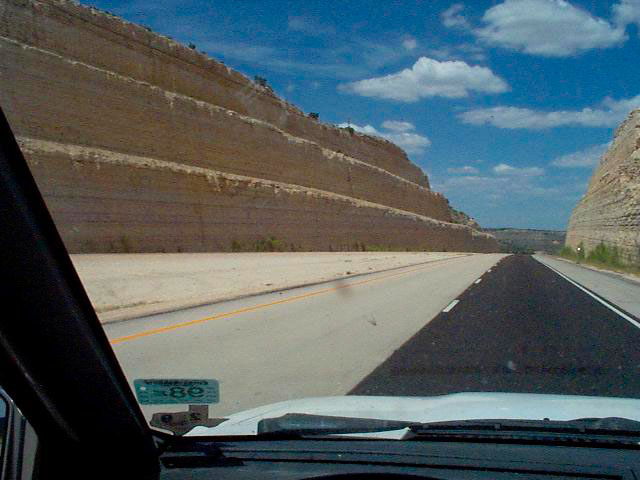
Co) 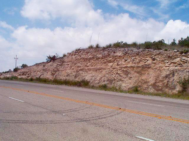 Habitat Iraan, US Hwy 190, FM 305, and various county
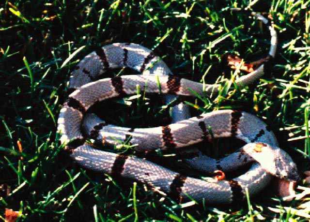
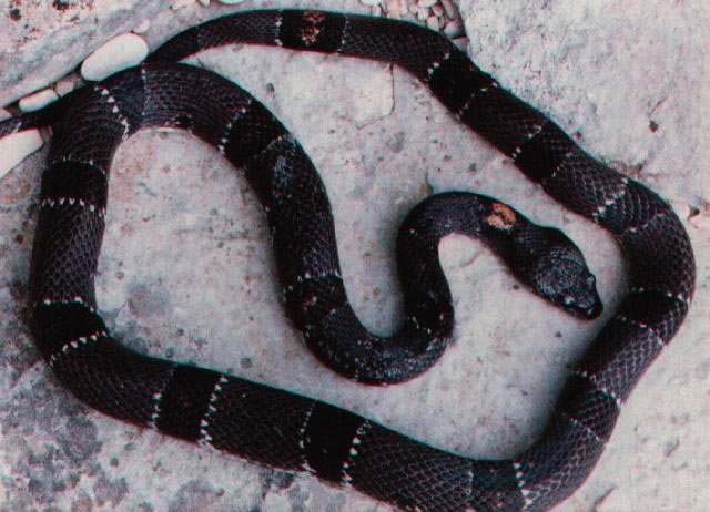
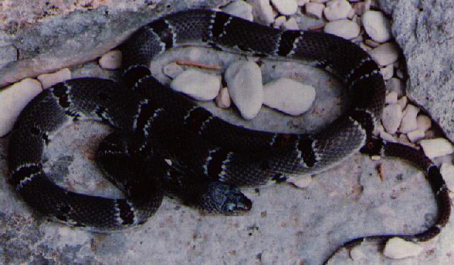
roads Habitat Specimens US 90, 13 mi West of Sanderson 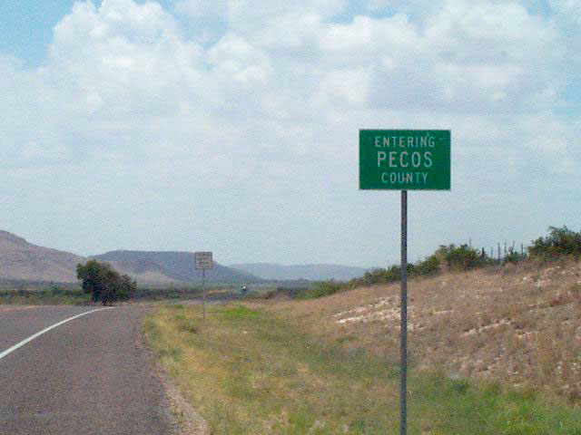 Habitat FM 2886, S of Bakersfield. Specimens
Other Possible Locations US 385, Glass Mountains, 17-23 mi NE of Marathon (Brewster
Co). Specimens
US 67, SW of Ft. Stockton. I-10, between Bakersfield and US 190. 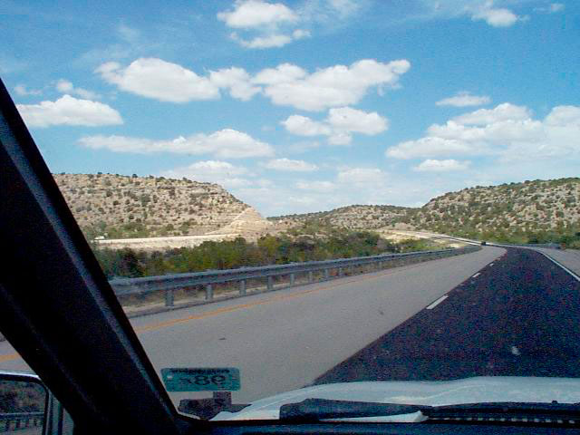 Habitat |
